
-
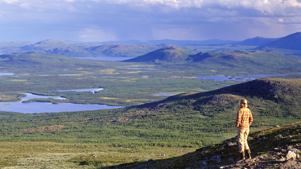
Photo: Tomas Utsi -
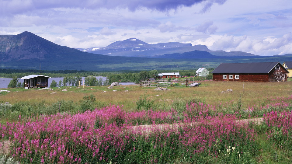
Kattuvuoma.
Photo: Tomas Utsi -
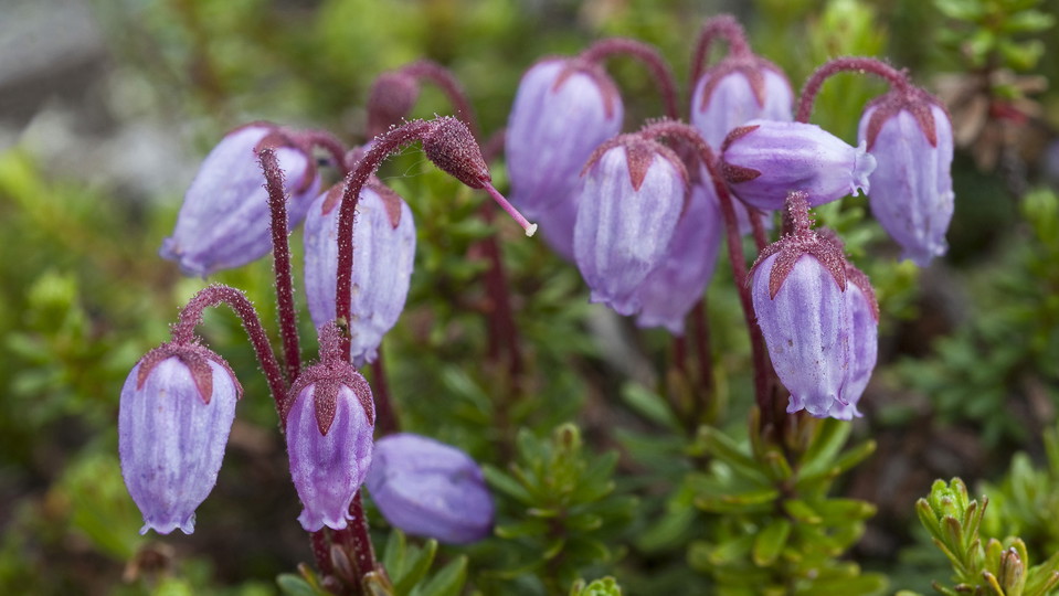
Photo: Matton Collection/Johnér
Vuoskojávri-Kattuvuoma
- Hiking
- County: Norrbottens län
- 6422.65 km away from you
Trail details
- Length 13.0 km
Actions
Description
From Vuoskkujávri, the trail leads northwards. The hike is through birch forest all the way. The first stretch is flat and runs through terrain with moist areas. Soon after passing Rágeseatnu River, a gentle, long downhill slope begins. Where the slope evens out, the trail passes a reindeer fence and a reindeer enclosure. The remaining hike as far as the village of Kattuvuoma is flat. There are many quad bike roads in the area and you must be alert so as not to lose the trail.
Duration: 4,5-5 hours
Activities And Facilities
- Hiking
Surface
Easily-hiked surface.
Contact
Email address
Länsstyrelsen Norrbotten
Organization logotype

I’ve been here 1

I want to go here 11

Questions & Answers
Ask a question to other Naturkartan users.
Reviews
0 reviews
- 5 :
- 4 :
- 3 :
- 2 :
- 1 :
Users images
No user images yet. Be the first to share!

How do you reach the start point. Is there a boat available to cross the lake torneträsk?
Hi, it is possible to start in Järämä and hike from there. You can also try to contact the sami village, e.g. Stig Allas 070-273 34 83. Some trails are not easy to access nowadays because of changing conditions in the surroundings (train does not stop any more or boat traffic does not exist etcetera). Good luck with your hiking!