Uppvidinge

Bästa elljusspåren i Uppvidinge

Naturkartan samlar de elljusspåren i Uppvidinge som är populärast bland våra användare.

Map

7 Bästa elljusspåren i Uppvidinge

Lighted trails

The lighted trail in Åseda

  • Municipality: Uppvidinge
  • 6822.63 km away from you
  • 2.2 km
  • Difficulty: Blue

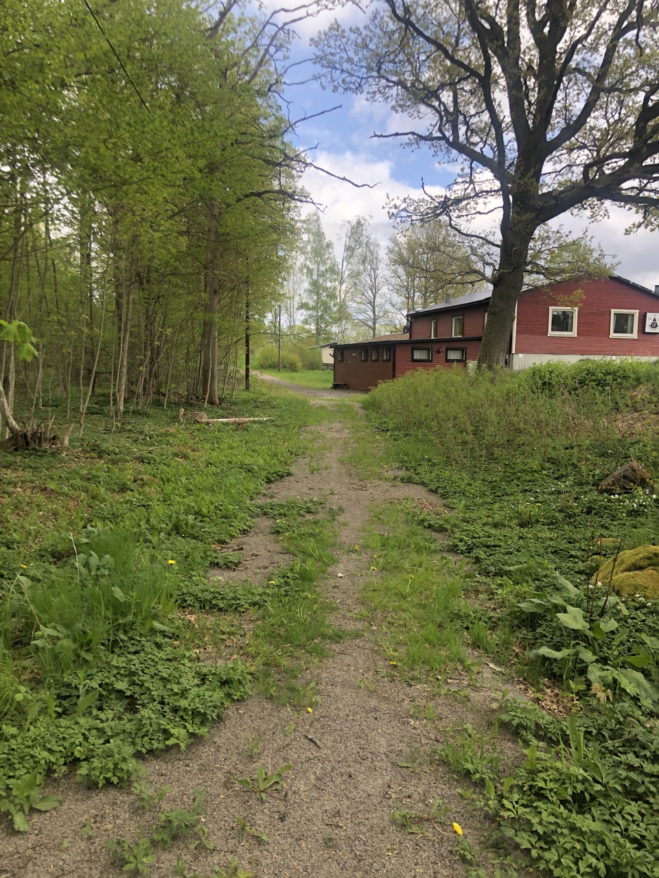
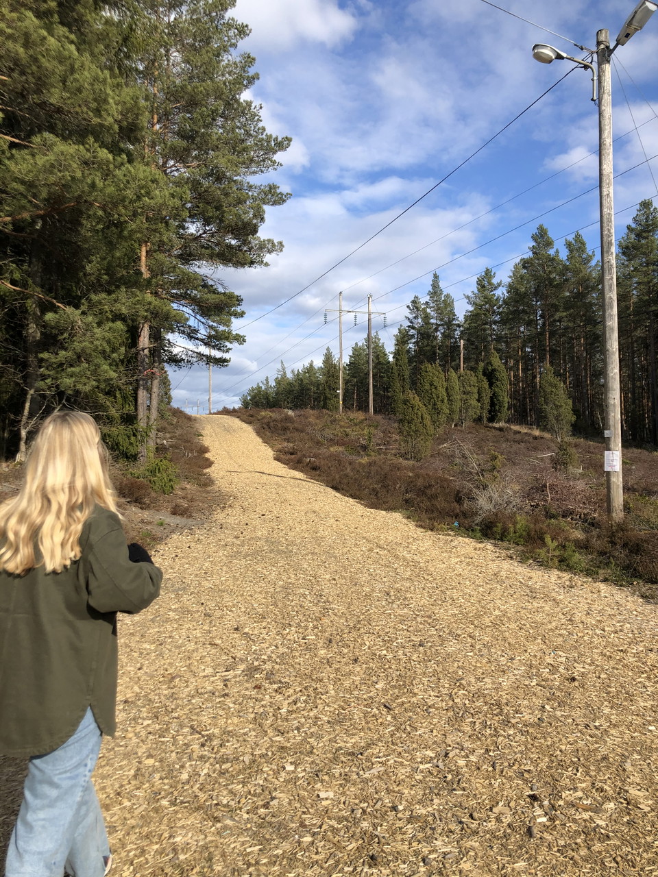
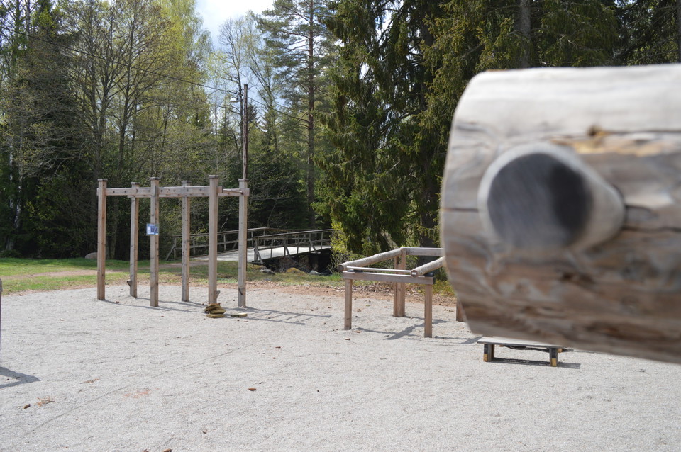
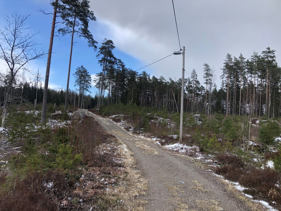
A bit north of Åseda is there a 2,2 km long floodlit trail. The trail has some slopes and is lit until 22 in the evening. Along the trail is there 12 signs with workout ideas. In the winter is there ski trails.
Walking

The yellow trail in Åseda

  • Municipality: Uppvidinge
  • 6822.44 km away from you
  • 3.8 km
  • Difficulty: Red

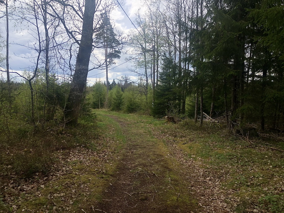
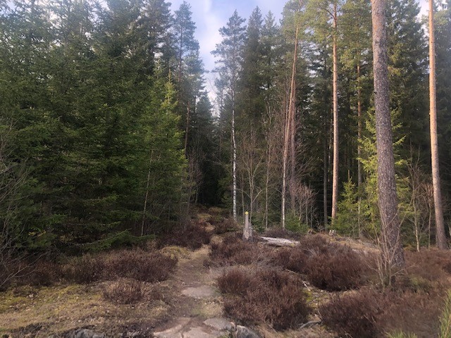
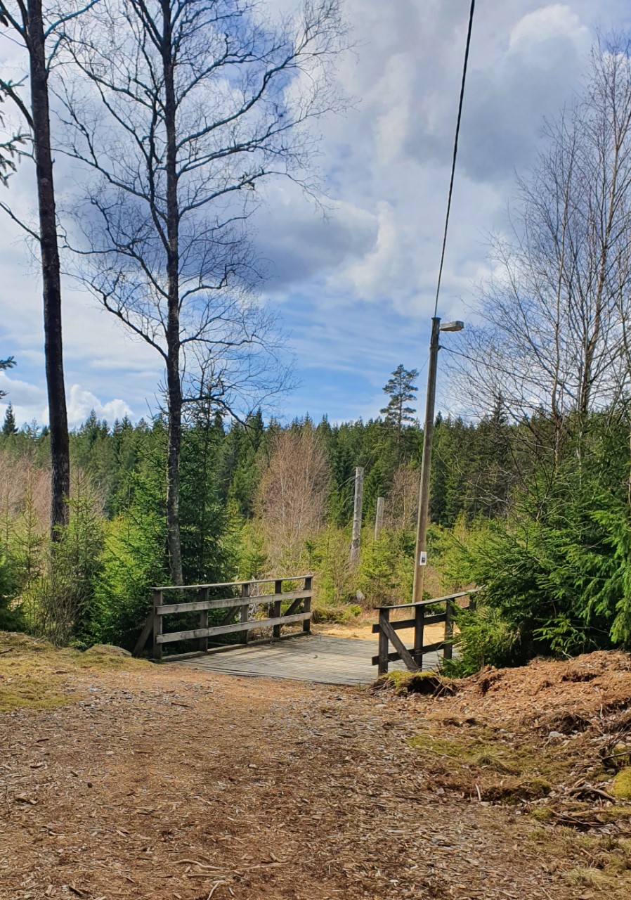
The yellow trail is 3,8km long and goes through the forest. You start on the Åseda’s lighted trail and then turn onto Skrikeborundan. The trail is lit until 10 o’clock in the evening.

Lighted trails

The lighted trail in Lenhovda

  • Municipality: Uppvidinge
  • 6829.33 km away from you
  • 1.9 km
  • Difficulty: Blue

The lighted trail in Lenhovda is about 2 km long. The trail is quite flat, and the terrain is open, except for the middle and the end of the trail that goes into the woods. Lenhovdas IF is responsible for this track.

Lighted trails

The lighted trail in Älghult

  • Municipality: Uppvidinge
  • 6843.58 km away from you
  • 1.3 km
  • Difficulty: Blue

Älghult’s floodlit trail is in connection to the school. The trail is quite short, about 1,3 km.

Lighted trails

The lighted trail in Norrhult

  • Municipality: Uppvidinge
  • 6815.97 km away from you
  • 3.0 km
  • Difficulty: Green

Norrhult’s floodlit trail is close to the Oxberget. It’s the municipality’s longest and is about 3 km. Norrhults BK responsible for the care of the trail.

Lighted trails

The lighted trail in Alstermo

  • Municipality: Uppvidinge
  • 6848.60 km away from you
  • 2.5 km
  • Difficulty: Blue

The lighted trail in Alstermo is about 2,5 km long. The trail is mostly in the forest. In the winter is there ski tracks if its cold enough. The trail has blue markings.

Lighted trails

The lighted trail in Marhult

  • Municipality: Uppvidinge
  • 6824.26 km away from you
  • 2.0 km
  • Difficulty: Blue

Marhult’s floodlit trail is on the outskirts of the village. It’s mostly an open landscape but in the middle will you pass through a forest.

Bästa elljusspåren i Uppvidinge

Naturkartan samlar de elljusspåren i Uppvidinge som är populärast bland våra användare.

Naturkartan

Open this in the app