Söderköping

Best hiking trails in Söderköping

Naturkartan samlar de vandringslederna i Söderköping som är populärast bland våra användare.

Map

21 Best hiking trails in Söderköping

Hiking

Herrborum vandringsled

  • Municipality: Söderköping
  • 6823.85 km away from you
  • 2.4 km

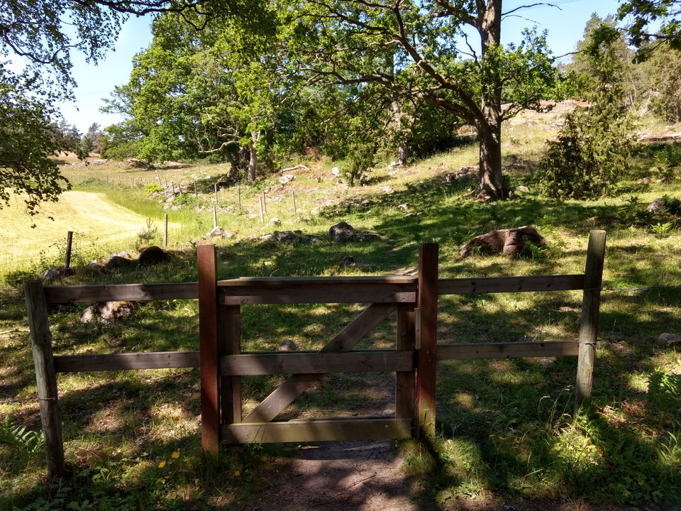
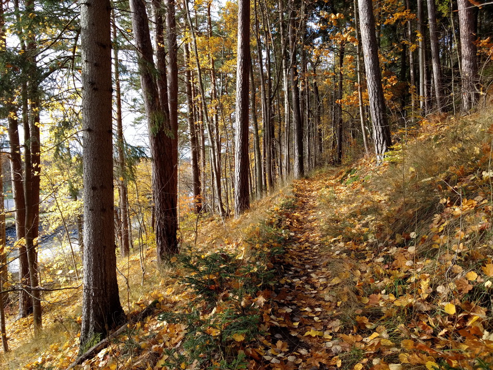
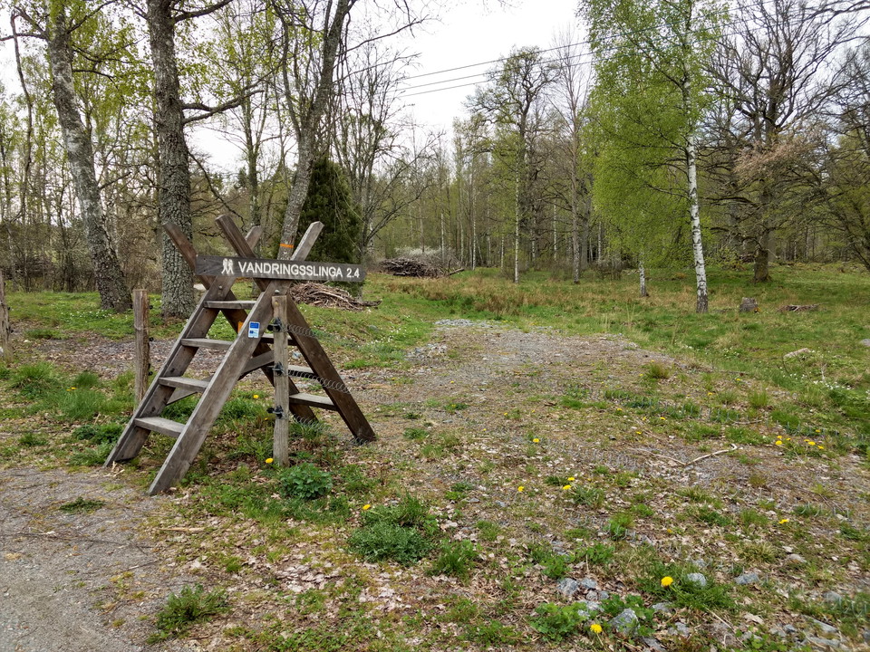
This hiking trail takes you through a beautiful and varied pasture with many old oaks and typical meadow and pasture plants such as night and day, maidenhair fern and meadow violet. The trail also passes a prehistoric burial ground. The trail starts and end…
Hiking

Herrborum vandringsled Kappelviken

  • Municipality: Söderköping
  • 6824.73 km away from you
  • 2.3 km

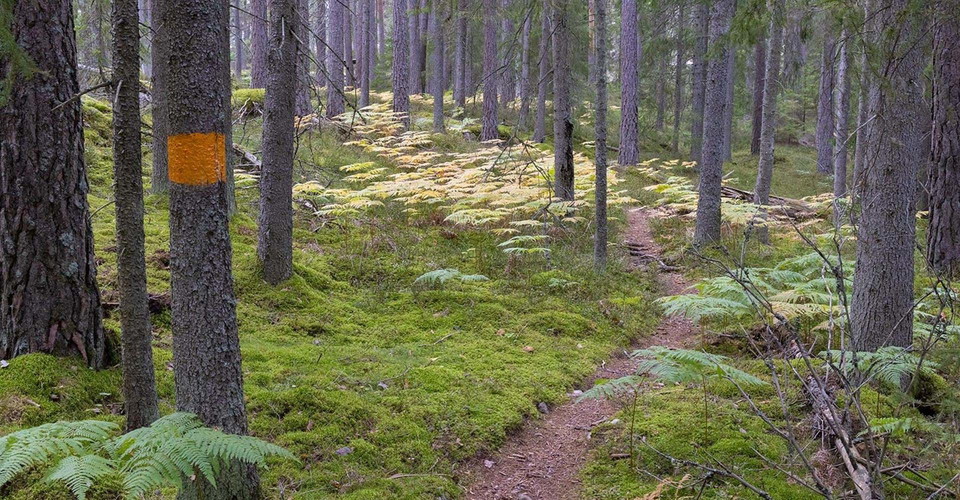
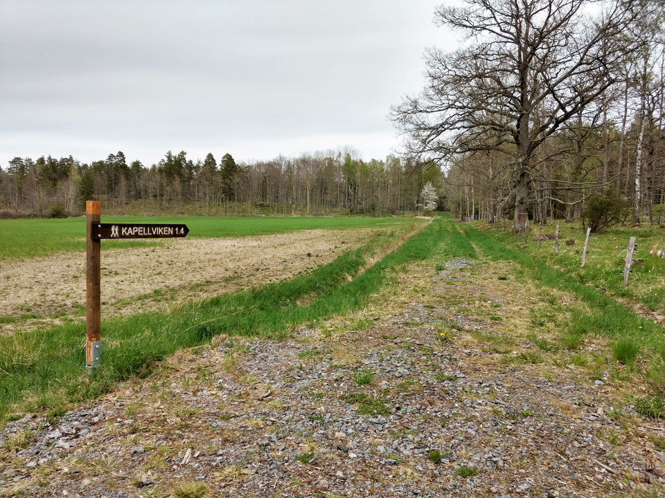
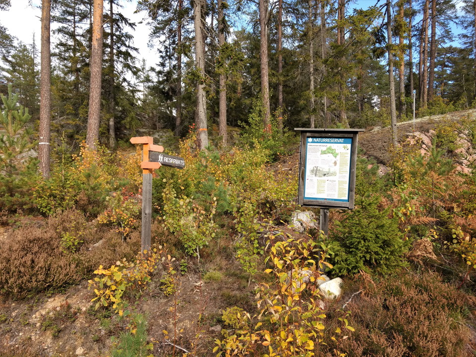
Hiking trail that takes you towards Kappelviken. Here you walk through wooded pastures and old and almost untouched mixed forest. The trail starts and ends at the parking lot of Herrborum nature reserve. Follow the orange markings.

Hiking

Dyhult vandringsled

  • Municipality: Söderköping
  • 6812.15 km away from you
  • 1.5 km

The Östgötaleden trail passes by Dyhult nature reserve. From Östgötaleden you can take a detour onto a hilly hiking trail that takes you on a round loop through the diversity and beauty of the reserve.

Hiking

Kajsas slinga

  • Municipality: Söderköping
  • 6811.39 km away from you
  • 1.5 km

Hike Kajsa's loop through beautiful rocky pine forest with fine views of the cultural landscape at Dyhult. The trail starts at the southern parking lot of the nature reserve. You can of course also start from the northern parking lot if you want a longer hi…

Hiking

Natur- och kulturstigen i Tyrislöt

  • Municipality: Söderköping
  • 6836.56 km away from you
  • 2.5 km
  • Difficulty: Green

A marked hiking trail that starts at the Sankt Anna Archipelago Museum, follow the orange markings. The walk takes you on a gravel road and on a nature trail through a small-scale agricultural landscape with arable fields, species-rich and grazed pasture, c…

Circular trail

Stegeborg rundslinga, Östgötaleden

  • Municipality: Söderköping
  • 12.0 km
  • Difficulty: Blue

Stegeborgslingan is a marked circular trail to Östgötaleden. Walk around Stegeborg and experience the landscape's rich cultural history and beautiful natural environments. The journey takes you through cultivated woodlands, grazed pastures, along water, str…

Hiking

Alternativ vandringsslinga via Tegelbrukets sluss

  • Municipality: Söderköping
  • 6799.52 km away from you
  • 1.5 km

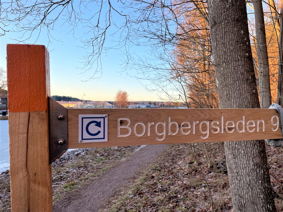
Walk Borgbergsleden to the stream ravine, when you have crossed turn right and follow the path along the ravine. At Tegelbrukets lock you can then follow the canal bank back towards the lock in Söderköping. Alternatively, go the opposite way. Follow the can…

Hiking

|Translated by Google translation| [Soderkoping] Nartorp-Stegeborg

  • Municipality: Söderköping
  • 15.5 km
  • Difficulty: Blue

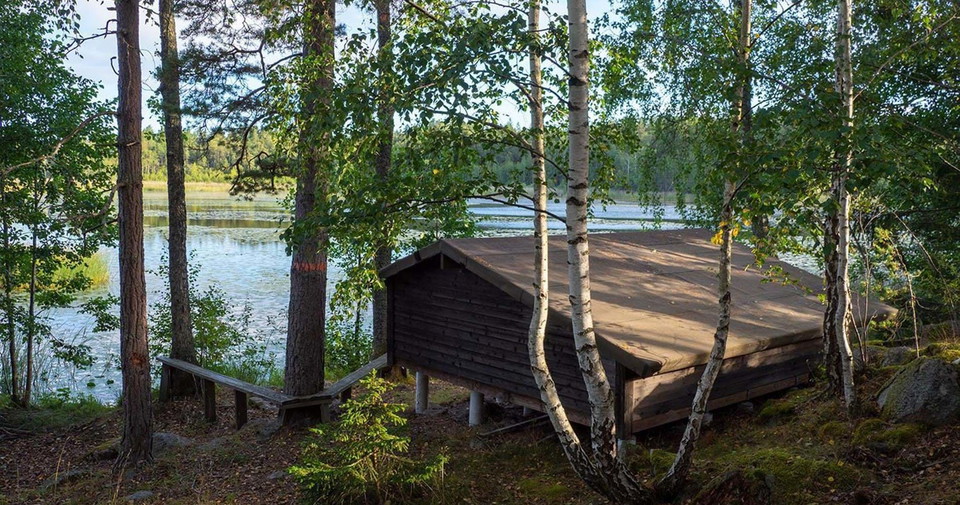
|Translated by Google translation| The trail goes around the bird lakeTrasken where shelters and campfire site on the east side. Beside lake Röbraket you find another campfire. To the east, the trail along Lisstorps nature reserve. Then you has to follow…

Circular trail

Trasken runt, Östgötaleden

  • Municipality: Söderköping
  • 6.1 km
  • Difficulty: Blue

If you want to have access to a shelter and a fireplace and visit a nice bird lake, this could be the loop for you. The trail starts and ends at the Malmkullen homestead in Nartorp with the possibility of parking. The first part goes on road 210 and then tu…

Hiking

[Söderköping] Anslutning till Borgbergsleden

  • Municipality: Söderköping
  • 0.5 km

Anslutningsled som tar dig genom centrum fram till Söderköping sluss. Fortsätt över slussbron, på andra sidan av Göta kanal börjar din vandring på Borgbergsleden.

Circular trail

Alboga – En gång för alla, Östgötaleden

  • Municipality: Söderköping
  • 0.8 km
  • Difficulty: Green

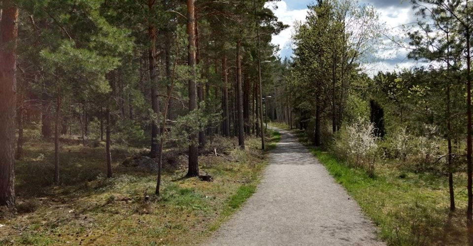
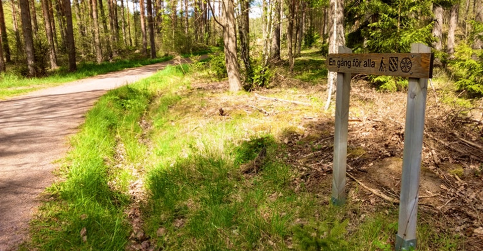
En tillgänglighetsanpassad stig med belysning, där alla med eller utan funktionshinder på ett enkelt sätt får tillgång till naturen. Fyra bänkar finns utplacerade utmed stigen. Vid start och mål finns en grillplats med bänkar anpassade för rullstolar. Dessu…

Hiking

|Translated by Google translation| [Soderkoping] Pour-Forsum

  • Municipality: Söderköping
  • 6811.47 km away from you
  • 18.6 km
  • Difficulty: Red

|Translated by Google translation| A moderate / difficult hike with a mixture of small roads and paths. At Dyhultsborg you can visit a wye-point where you can see the northern end of the lake Strolången. Arriving at the beach Strolångens you will find shel…

Hiking

Albogaskogen - En gång för alla

  • Municipality: Söderköping
  • 6800.36 km away from you

An accessible path with lighting, where everyone with or without disabilities can easily access nature. Four benches are placed along the trail. At the start and finish there is a barbecue area with benches adapted for wheelchairs. In addition, there is an…

Hiking

Söderköping – Hälla, Östgötaleden

  • Municipality: Söderköping
  • 6799.27 km away from you
  • 18.0 km
  • Difficulty: Blue

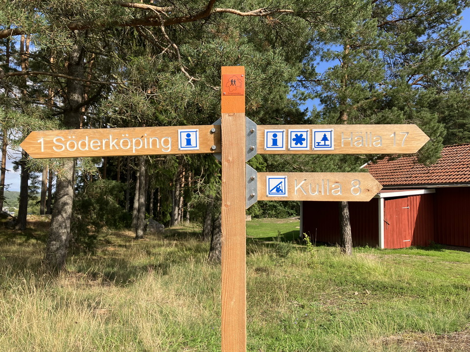
Sträckan startar vid Stinsen, kommunens bibliotek och turistbyrå. Lättvandrad sträcka som, efter att du lämnat samhället bakom dig, kommer till Alboga friluftsområde där Söderköpings Orienteringsklubb (SOK) har sin klubbstuga. I friluftsområdet finns bland…

Best hiking trails in Söderköping

Naturkartan samlar de vandringslederna i Söderköping som är populärast bland våra användare.

Naturkartan

Open this in the app