
-
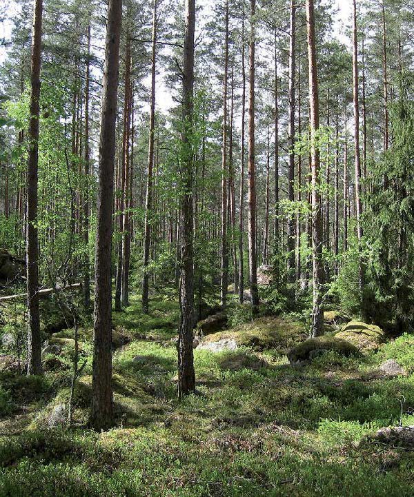
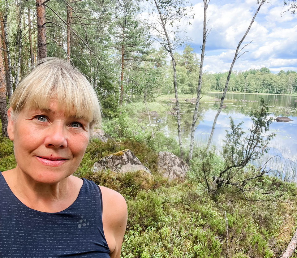
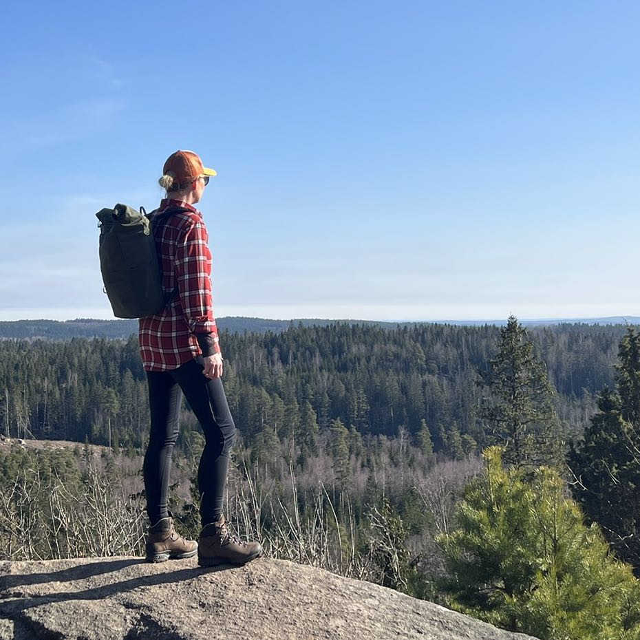
Skogsbild från Spånenleden -
-
-
-
-
-
-
Spånenleden Alvesta - Part of Småland trail
- Hiking
- Running
- Circular trail
- County: Kronobergs län
Trail details
- Length 12 km
- Difficulty Green - simple
Actions
Description
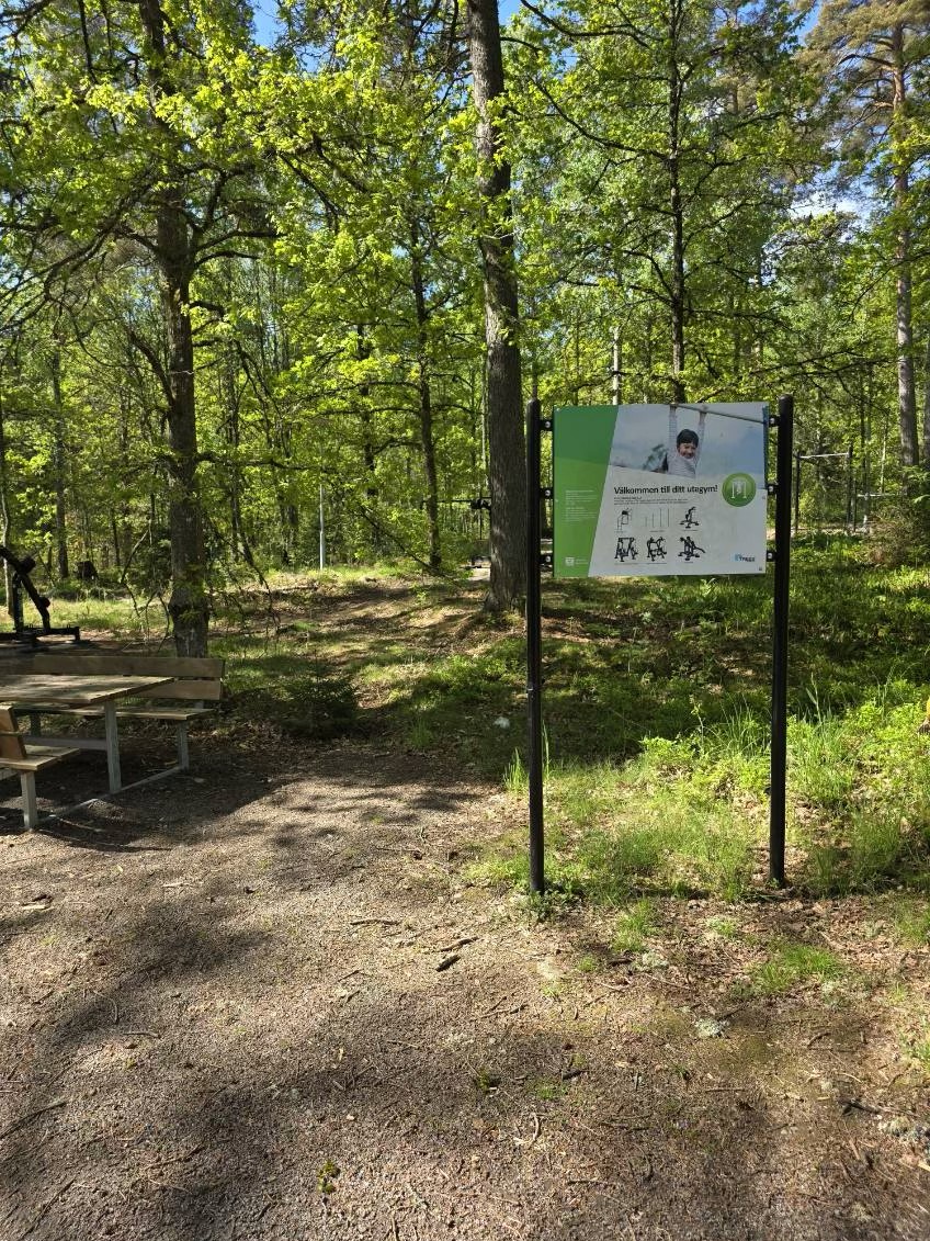
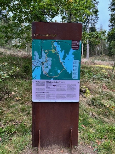
Spånenleden is a 12 km long hiking trail that runs on the outskirts of Alvesta. It is also possible to walk shorter sections of it. The trail has two entrances with large information boards and is marked in orange in both directions along the route. The Spånen Trail has been managed since 2024 according to the recommendations of the national framework for hiking trails.
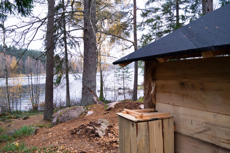
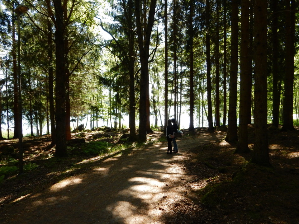
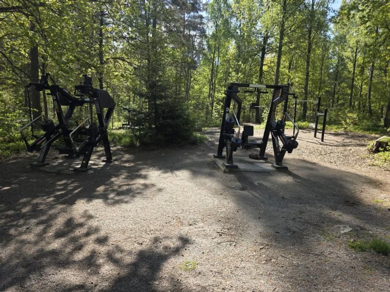
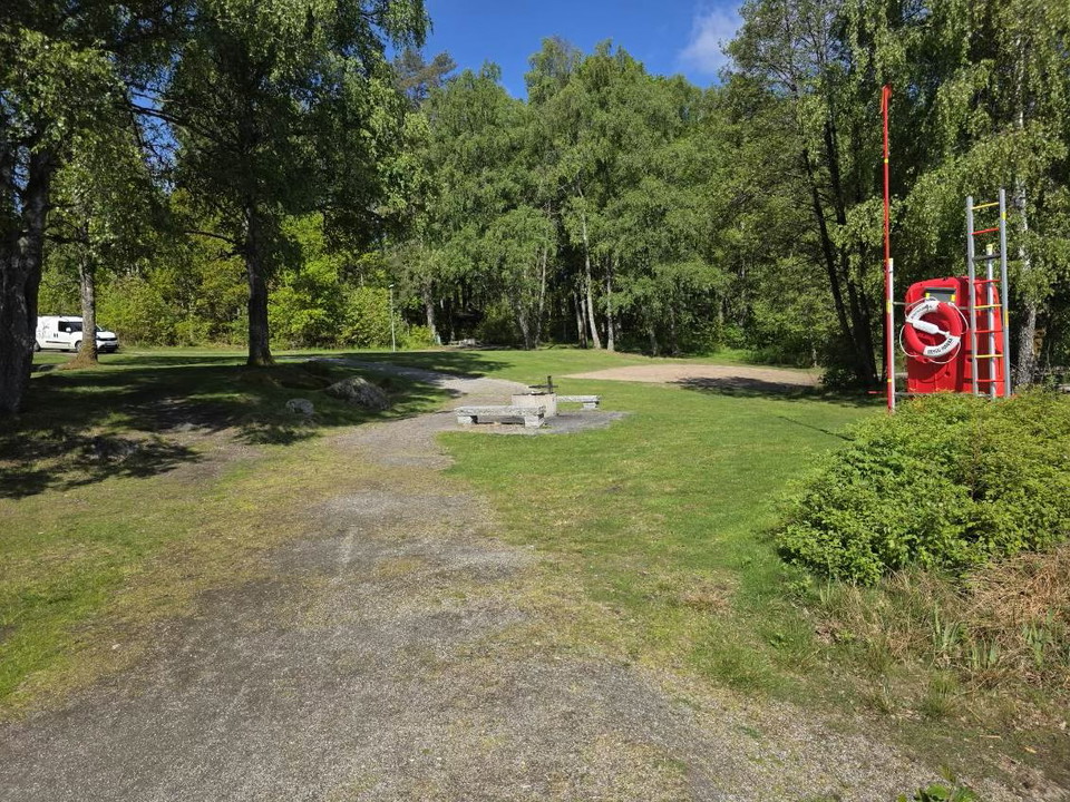
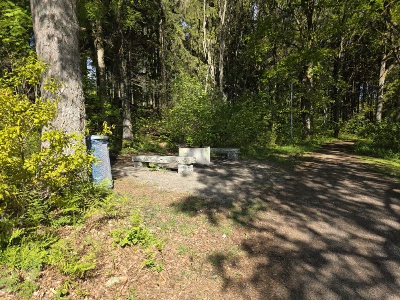
The trail alternates between small forest paths, gravel roads and paved walkways. In two places next to Lake Spånen there are more substantial shelters with barbecue areas. Along the route there are several other rest areas with benches and at Spånen's bathing place you can take a cooling dip
Activities And Facilities
- Running
- Hiking
- Circular trail
Contact
Address
Alvesta kommun 0472-15000
Email address
Please be aware that some of these texts have been automatically translated.
I’ve been here 8




I want to go here 22


Questions & Answers
Ask a question to other Naturkartan users.
Reviews
2 reviews
- 5 :
- 4 :
- 3 :
- 2 :
- 1 :
Users images
No user images yet. Be the first to share!

Fin och varierande. En del spångar är dock helt murknade