
-
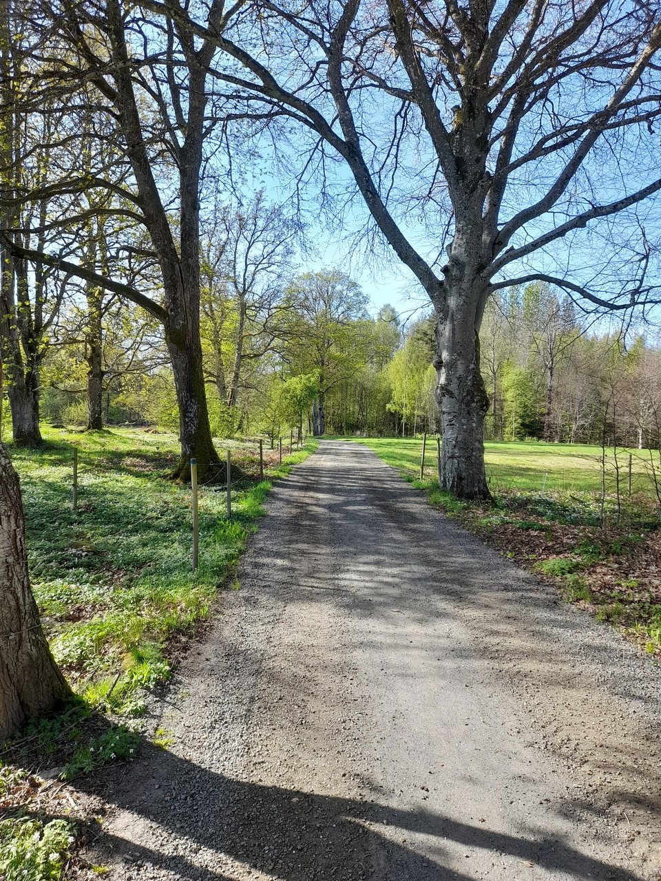
Foto: Börje Rehn. -
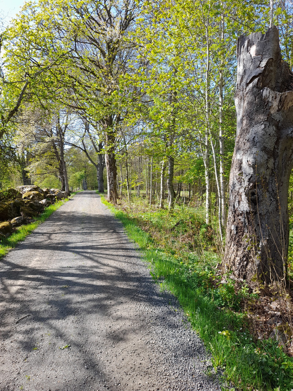
Foto: Börje Rehn.
Nabbarundan (orange)
- Hiking
- Walking
- County: Kronobergs län
- 6792.24 km away from you
Trail details
- Length 5.4 km
- Difficulty Blue - medium
Actions
Description
Nabbarundan is a walking trail that runs on gravel roads and partly on paths. The trail offers a varied nature with both new and old forests, stone walls, and meadowland. Nabbarundan partly follows an ancient church road, and along the stretch by lake Möckeln, there are several "coffin stones" along the way. These stones were used for resting when bearers transported coffins to the church in Stenbrohult.
The orange loop of Nabbarundan passes Värpeshult. There used to be a cottage here called "Alma-Annesas," which was often visited by a man called Kalle Huggare, who, according to legend, stole from the rich and gave to the poor.
Nabbarundan has been made accessible to the public through agreements with private agricultural properties, and some roads are used for forestry. Please respect this and show consideration.
Activities And Facilities
- Walking
- Hiking
Contact
Email address
Älmhults turistinformation
I’ve been here
I want to go here 4

Questions & Answers
Ask a question to other Naturkartan users.
Reviews
0 reviews
- 5 :
- 4 :
- 3 :
- 2 :
- 1 :
Users images
No user images yet. Be the first to share!
