
Hunnsbergsrundan
- Hiking
- Circular trail
- County: Kronobergs län
- 6739.36 km away from you
Trail details
- Length 1.4 km
- Difficulty Red - demanding
Actions
Description
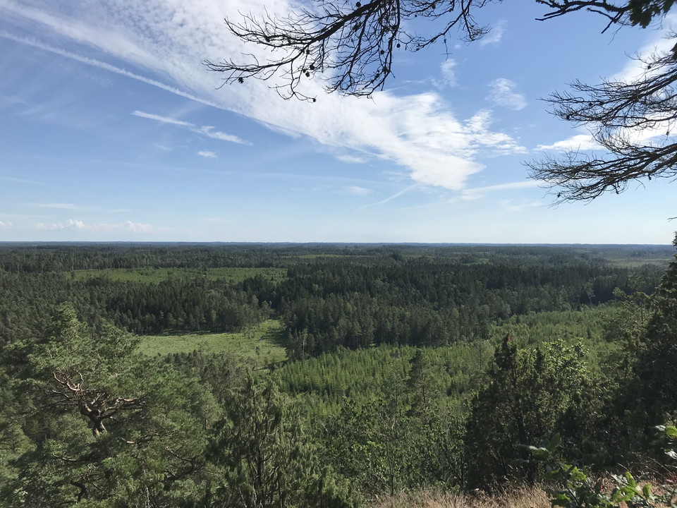
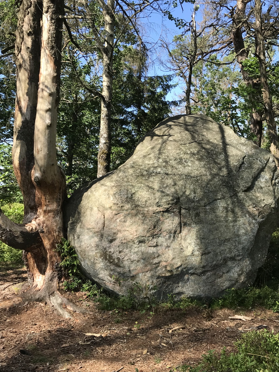
Southwest of Lidhult lies Ljungby’s highest point; Hunnsberget at 230 meters above sea level, offering a wonderful view of the Småland forest and marshland. Hunnsberget is one of the legendary places in Sagobygden, with the tale of Sutaren, the shoemaker, who hid in Sutarestugan, a hollow in the mountain, during wartime to evade Danish soldiers. From the parking area, there’s a trail around the mountain with a steep path winding upward, passing large rocks and bushes. At the top of the mountain, you can enjoy your packed snack and take in the expansive view. Be cautious with children, as there’s a cliff without guardrails at the viewpoint. Throughout history, the mountain has captured people’s imaginations, and there are indeed stories of trolls once dwelling here.
This text is Ai-generated.
Activities And Facilities
- Hiking
- Circular trail
Contact
Email address
Organization logotype

I’ve been here 4

I want to go here 2

Questions & Answers
Ask a question to other Naturkartan users.
Reviews
0 reviews
- 5 :
- 4 :
- 3 :
- 2 :
- 1 :
Users images
No user images yet. Be the first to share!
