
-
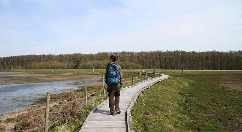
Photo: Anna Lindberg -
Beijershamn to Svansholmarna
- Hiking
- Wheelchair accessible
- Near parking
- Near toilet
- County: Kalmar län och Öland
- 6909.51 km away from you
Trail details
- Length 5.5 km
Actions
Description
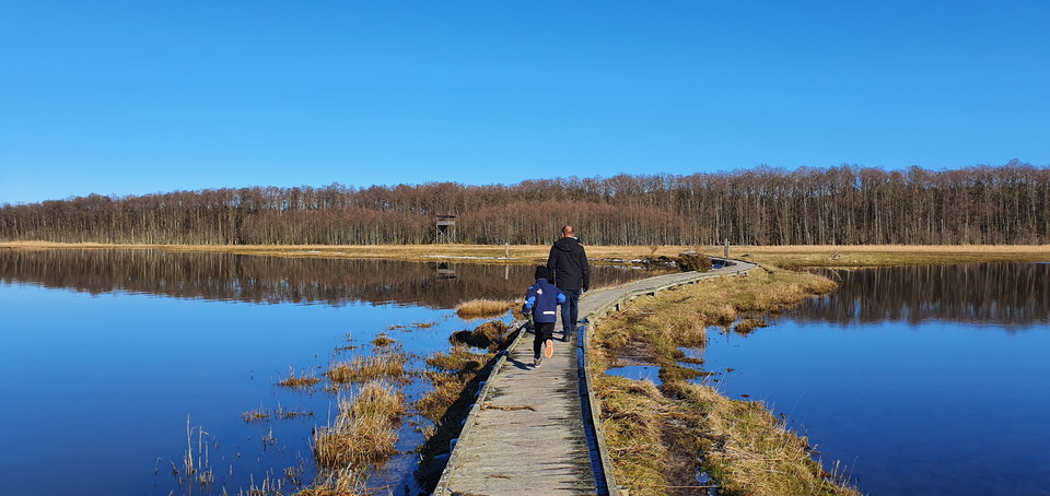
Beijershamn is one of the most important bird sites on Öland. It started with a pier construction in the mid-19th century that would result in an important harbour. That did not happen. Due to a faulty construction, the harbour quickly closed. Over time, this created good conditions for a rich bird life with marshes, meadows and open water areas. Today, there are several beautiful walking areas and a large bird tower overlooking the whole area.
Tip: Fill your lunch bag and enjoy the beautiful views.
Hiking trail in Beijershamn Nature Reserve
Contact: the County Administrative Board
Activities And Facilities
- Hiking
Accessibility
- Wheelchair accessible
- Near parking
- Near toilet
Contact
Email address
Matheus Tholin
Organization logotype

I’ve been here 13




I want to go here 13
Questions & Answers
Ask a question to other Naturkartan users.
Reviews
1 review
- 5 :
- 4 :
- 3 :
- 2 :
- 1 :
Users images
No user images yet. Be the first to share!

Hur hittar man till Beijershamns vandringsled?
Hej Annika,
Det finns parkering här:
https://www.naturkartan.se/sv/kalmar-lan/parkering-bejershamn?utm_source=naturkartan&utm_medium=map
Följ skyltningen från väg 136 till Haga Park och Bejershamn.