Brantestad Naturrunda

  • Hiking
  • Walking
  • Running
  • Circular trail
of 5 stars

Trail details

  • Length 9.9 km
  • Difficulty Green — simple

Actions

  • Directions

Description

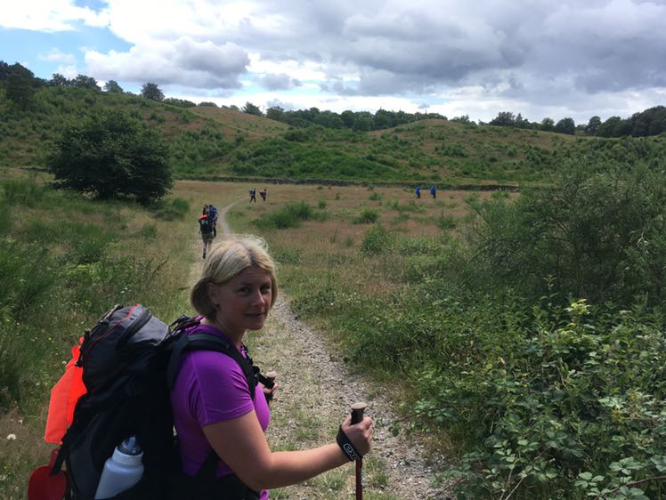
The Brantestad nature walk is 9.9 km long but is divided into two loops, so you can choose to walk the whole route or just part of it. It follows roads and paths through areas of natural beauty between Brantestad, Stjärnevik, Ryggåsen and Lake Yxern. The walk offers a rich cultural landscape with Bronze Age burial grounds, stone walls and cairns bear witness to people’s hard work and determination to improve their lives through the ages.

On your walk, you’ll see a abundance of plants, some of which are rare, and a few truly magnificent trees, including a hollow oak that is probably around 1,000 years old. There are tables and seating areas at several points along the route, an outdoor gym at Långvikstorp and a lovely barbecue area by Lake Yxern, where you can enjoy your packed lunch.

We hope you have a lovely, relaxing walk through our historic cultural landscape.

Weather forecast (at 12:00)

Loading…

Get here by public transport

Address

    Brantestad 178

    598 95 Vimmerby

    Sverige

Activities And Facilities

  • Walking
  • Running
  • Hiking
  • Circular trail

Parking

Parking lot in the schoolyard at Brantestad Skola

Directions

Along Road 40, follow the sign for Naturrundan 7.

Start and finish at Brantestad School.

Please be aware that some of these texts have been automatically translated.

I’ve been here 12

I want to go here 26
Reviews

—

1 review

of 5 stars

5 :
0.0%
4 :
0.0%
3 :
0.0%
2 :
0.0%
1 :
0.0%

walked it today. very pretty route.

Questions & Answers

Ask a question to other Naturkartan users.

Users images

Share your photos of the place!

Naturkartan

Open this in the app