
Lilla Vildmarksrundan
- Biking
- County: Jönköpings län
- 6702.59 km away from you
Trail details
- Length 23.0 km
- Difficulty Green - simple
Actions
Description
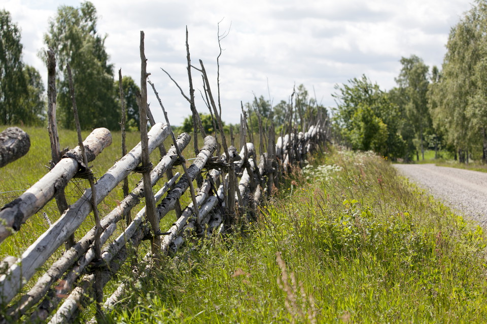
Welcome to a 23 km long tour in a culturally and historically beautiful landscape, lined with horses, sheep, cows, stone walls and large forests. You might even see a moose or a group of deer. You pass a couple of nice bathing places and the highest point is approx. 340 m.a.s.l. The excursion is adapted for a wide target group. It takes about 1.5-2 hours and the route is relatively easy no matter which way you go. Ingo/Frendo in the southwestern edge of Mullsjö town has been chosen as the starting point. See "Start" in the map. Also note that the trail is unmarked.
Activities And Facilities
- Biking
Contact
Email address
Infocenter Mullsjö kommun
Organization logotype

Please be aware that some of these texts have been automatically translated.
I’ve been here 1

I want to go here
Questions & Answers
Ask a question to other Naturkartan users.
Reviews
0 reviews
- 5 :
- 4 :
- 3 :
- 2 :
- 1 :
Users images
No user images yet. Be the first to share!
