
Elljusspår Ljungdalen 1,8 km 2,2 km 2,5 km 3,4 km
- Lighted trails
- Walking
- Skiing
- Running
- Hiking
- Circular trail
- County: Jämtlands län
- 6400.76 km away from you
Trail details
- Length 3.5 km
Actions
Description
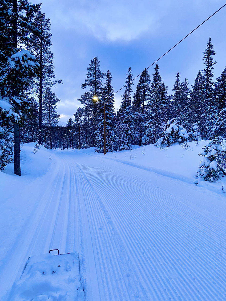
Welcome to the exercise trail in Ljungdalen, which is a lovely hilly trail with four different lengths for both summer and winter. During the winter, the track is prepared for cross-country skiing, both for classic technique and skate. The trail is maintained by Ljungdalens GIF and prepared with the help of volunteers. Sledges and dogs are allowed next to the classic track. The track is illuminated from sunset to 9 p.m. Parking is available adjacent to the track start at Tallvägen.
Feel free to contribute with a voluntary trail contribution by using Swish: 123 441 81 41 (Ljungdalen GIF) or plusgirot: 287068-1 (Ljungdalens GIF). Mark the payment with exercise track.

Large parts of Berg municipality are reindeer herding areas. Most reindeer are in the mountains during the summer, but you may encounter them in the forest or along the roads all year round. It is important that you as a visitor show consideration for the reindeer. You do this by not stressing them. When you encounter reindeer, slow down, sit down and wait for them to pass or take a long detour past them. Always keep dogs on a leash where there are reindeer.
Activities And Facilities
- Walking
- Skiing
- Running
- Hiking
- Lighted trails
- Circular trail
Directions
Follow the road past Ica Nära west towards Kläppen, about 200 meters after Ica take the exit to the right with the sign "Tallvägen" and "Elljusspår". Follow this road upwards, when the road has turned left there is parking and track start on the right of the road.
Alternative starting point is at Dunsjöliften.
Please be aware that some of these texts have been automatically translated.
I’ve been here
I want to go here
Reviews
—
0 reviews
- 5 :
- 4 :
- 3 :
- 2 :
- 1 :
Questions & Answers
Ask a question to other Naturkartan users.
Users images
Share your photos of the place!
