
-
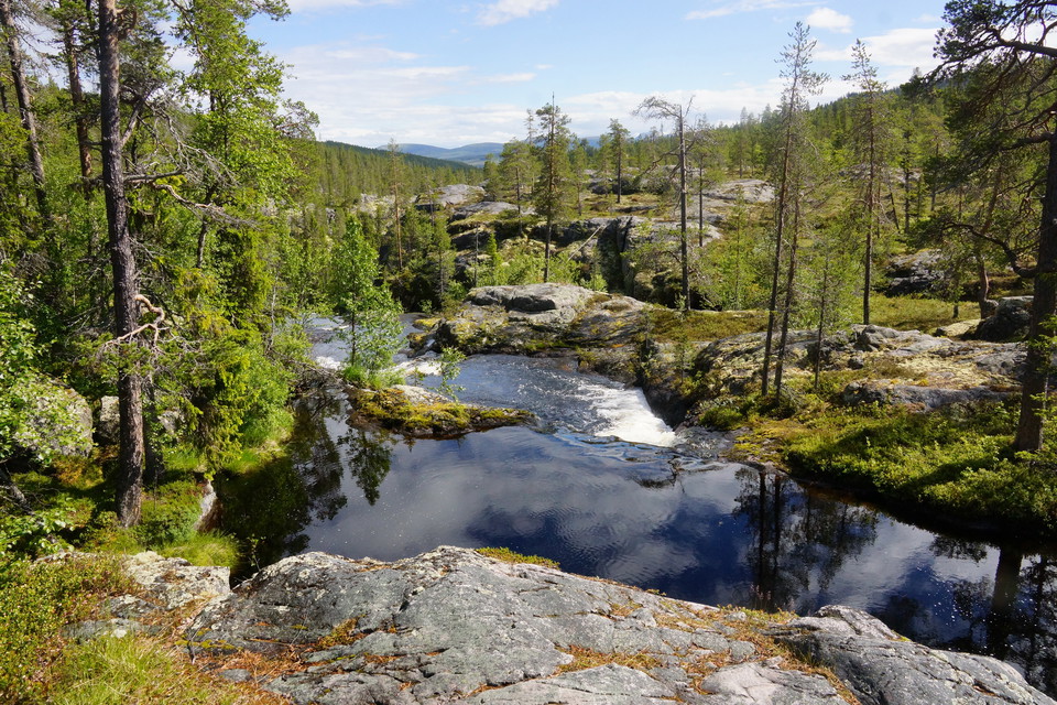
Lill-Rånddalen.
Photo: Hans Pettersson -
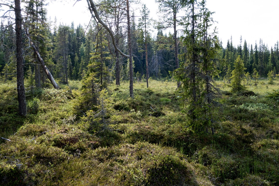
Fjällnära skog från området.
Photo: Jennie Wadman
5. Lofsdalen - Skärsjövålen/Nysätern (medel)
- Hiking
- Near parking
- Near Public Transport
- County: Jämtlands län
- 6457.62 km away from you
Actions
Description
Here is a section for those who want a little challenge. There are a few paths or trails, but the forest is probably relatively unknown. Inspire the rest of us with your hiking experience and pictures from here. Unknown forests need to be discovered and highlighted in the fight for the conservation of the mountain forest.
Feel free to start the hike with a trip up Digervålen. From here you can see Sonfjället in the north and Sömlingshågna in the south. In clear weather you can see all the way to Funäsdalsfjällen. Further north towards the final destination Skärsjövålen, it is untracked terrain that applies, unless you choose to follow the snowmobile trail that goes past Yttersjön and all the way up to Skärsjövålen. Halfway up you have to cross Rånden, which you can do at the road bridge where the snowmobile trail crosses. Then you can also take the opportunity to make a trip up into Lill-Rånddalens nature reserve. There is also a road bridge 5 km further downstream of Rånden, just south of Skärsjövålen.
Good fishing opportunities in Rånden, but don't forget fishing license! Among other things, Hans Lidman has written about fishing in Rånden in the book "Fjällfisken hugger".
Activities And Facilities
- Hiking
Accessibility
- Near parking
- Near Public Transport
Facts
Here is a section for those who want a little challenge. There are a few paths or trails, but the forest is probably relatively unknown. Inspire the rest of us with your hiking experience and pictures from here. Unknown forests need to be discovered and highlighted in the fight for the conservation of the mountain forest.
Parking
Park at the track center at the Hovärk parking lot, where the trail towards Hovärken and Digervålen begins.
Please be aware that some of these texts have been automatically translated.
I’ve been here 2

I want to go here 12
Questions & Answers
Ask a question to other Naturkartan users.
Reviews
0 reviews
- 5 :
- 4 :
- 3 :
- 2 :
- 1 :
Users images
No user images yet. Be the first to share!
