
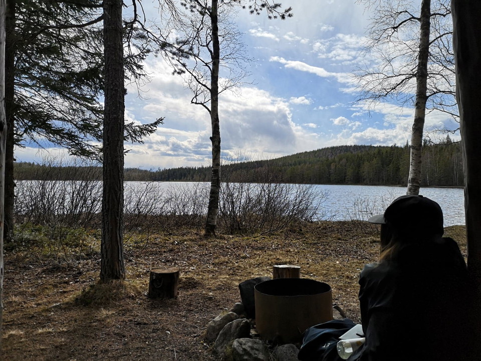
Örvallen - Stora Öråsen - Julingvallen - Örvallen
- Hiking
- County: Gävleborgs län
- 6638.31 km away from you
Trail details
- Length 8.0 km
- Difficulty Red - demanding
Actions
Description
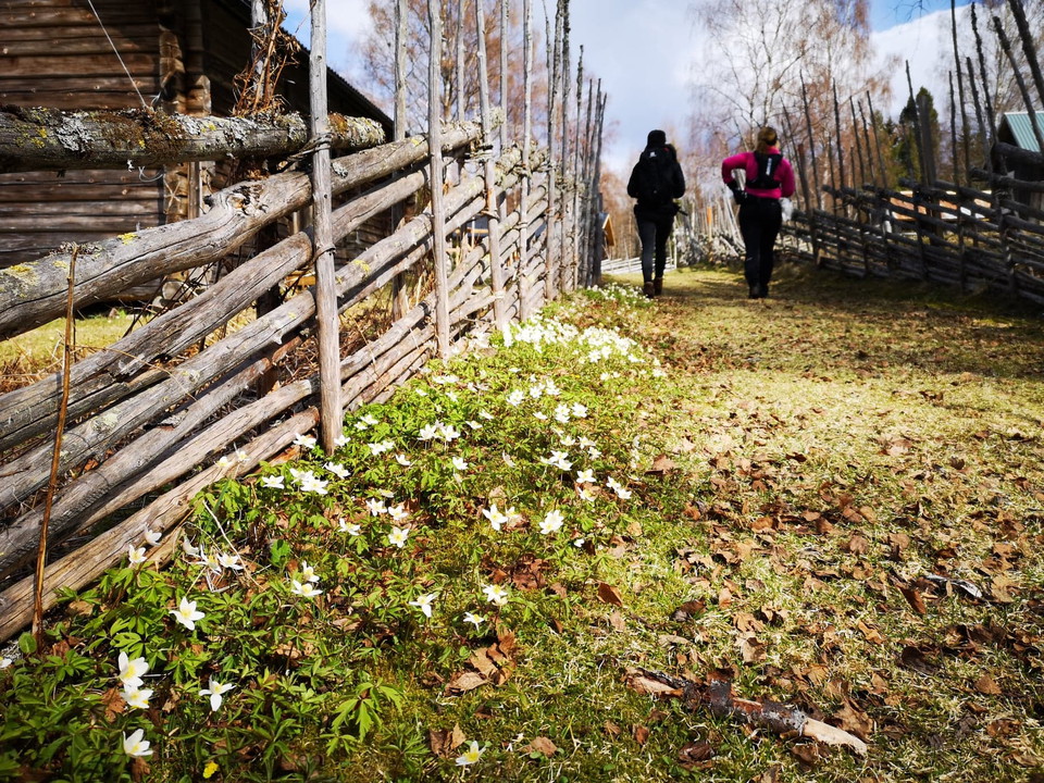
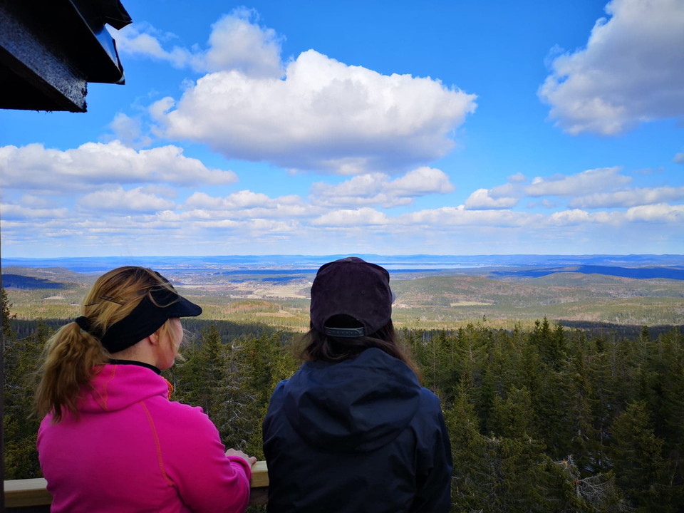
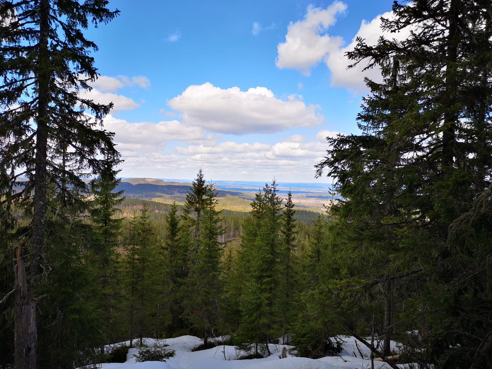
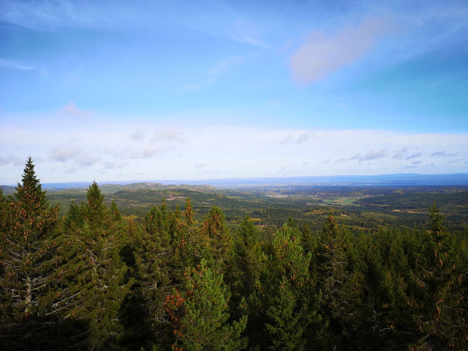
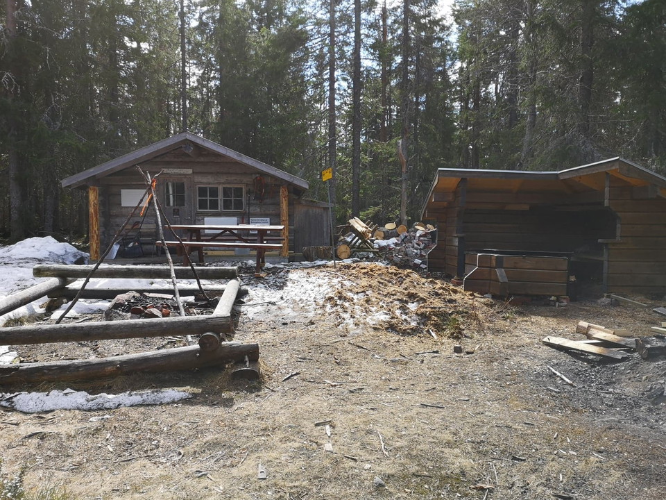
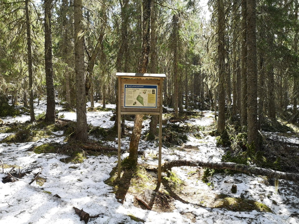
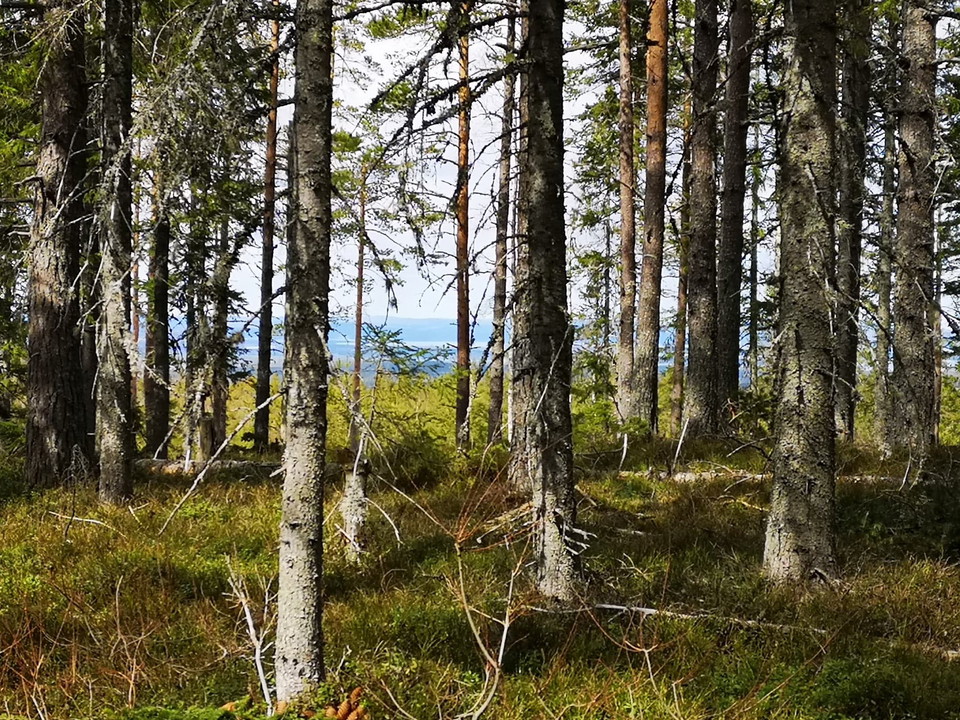
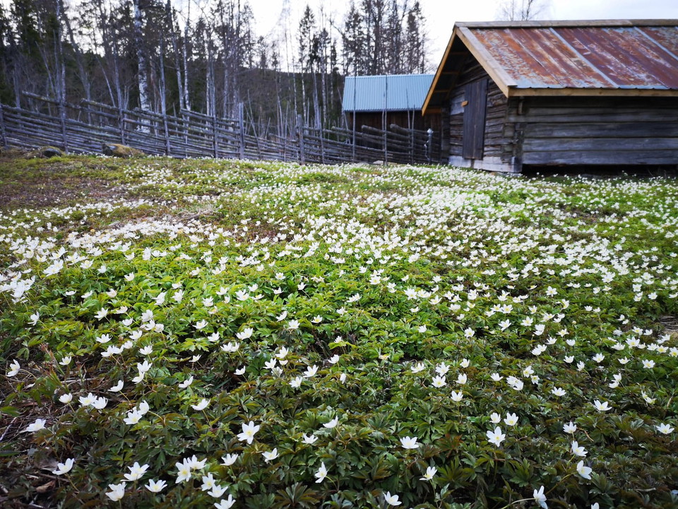
Nice round, strongly hilly up to Stora Öråsen with viewing tower and nature reserve, easy hike down to fine and well-preserved Julingvallen.
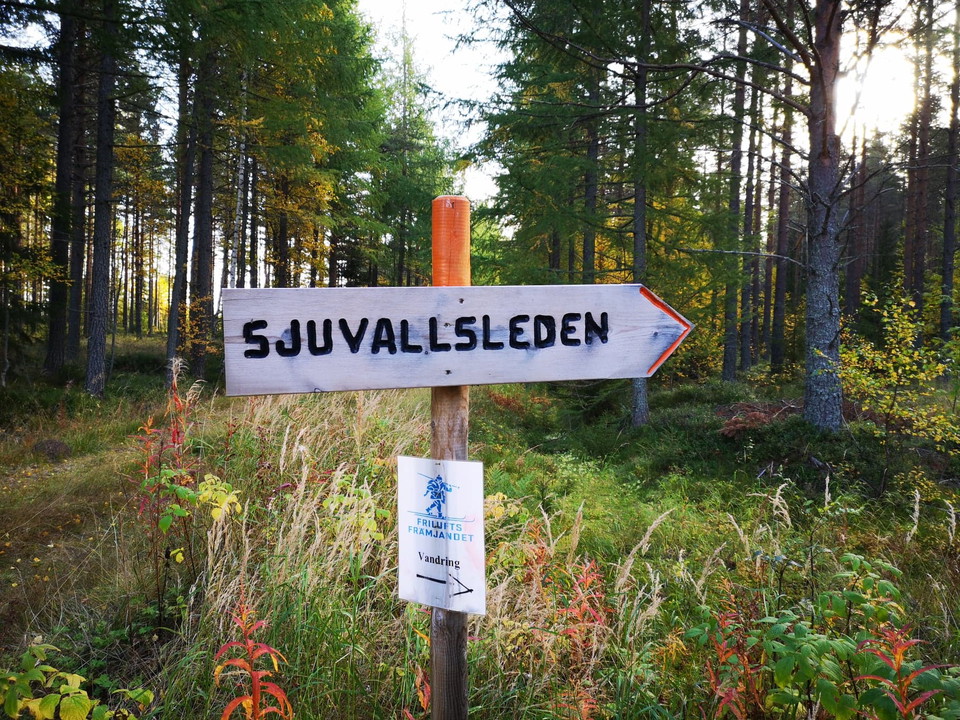
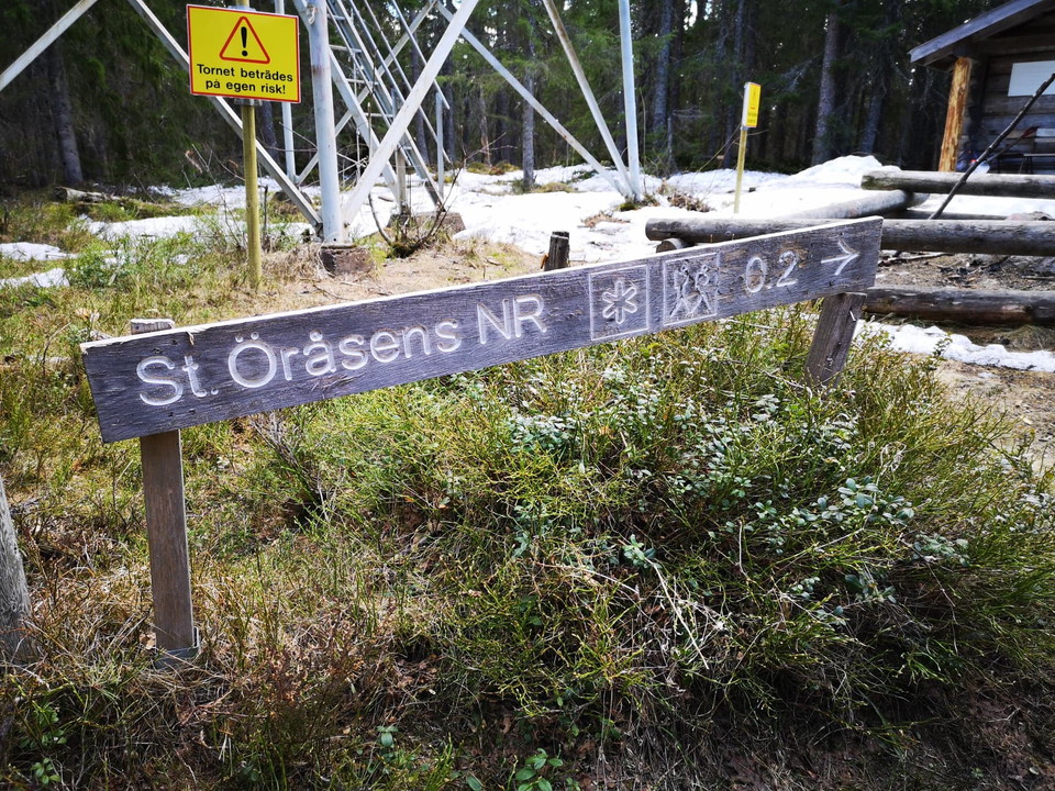
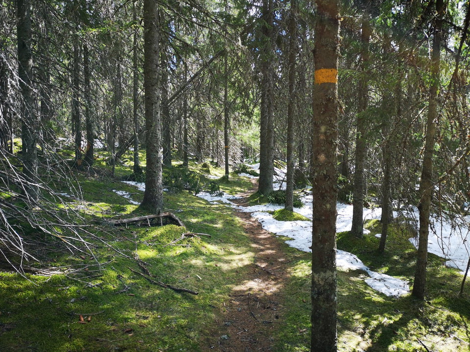
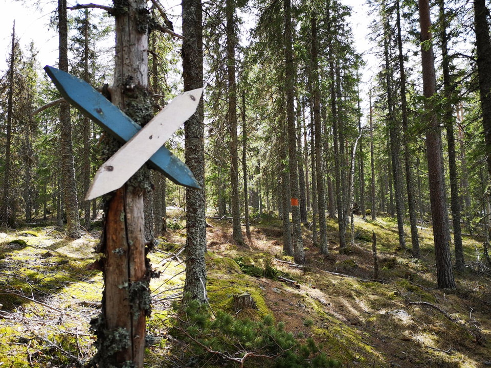
Follow the orange signs for Sjuvallsleden up to Öråstornet, then yellow signs through the nature reserve. Follow the road a bit and then take Sjuvallsleden down to Julingvallen. This round goes along the forest trail back to Örvallen to avoid walking on the gravel road for so long! So pay attention at a turnaround after Sjuvallsleden east of Julingvallen where the winter trail goes into the forest, marked with orange color and arrives at Örvallen.
Activities And Facilities
- Hiking
Surface
Path and gravel road
Hills
Very hilly up to Stora Öråsen
Parking
At Örvallen, Julingvallen or at Stora Öråsen.
Contact
Email address
Åsa Eriksson
Please be aware that some of these texts have been automatically translated.
I’ve been here 7



I want to go here 16



Questions & Answers
Ask a question to other Naturkartan users.
Reviews
0 reviews
- 5 :
- 4 :
- 3 :
- 2 :
- 1 :
Users images
No user images yet. Be the first to share!
