
Falun - Hosjö - Backa våtmark
- Biking
- County: Dalarnas län
- 6649.18 km away from you
Trail details
- Length 11.0 km
- Difficulty Green - simple
Actions
Description
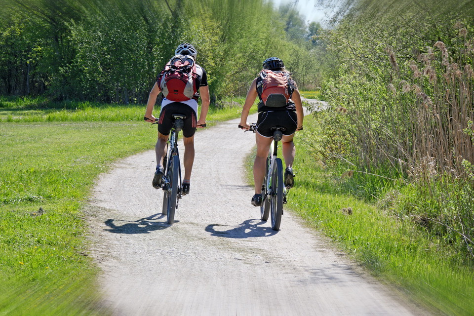
Backa is an area that through the centuries has coddled from life. Now cabins, sawmills and brickworks have been replaced by grazing cows, nesting birds and curious hikers. The 20 acre wetland is a suitable destination for you by bike. Once there, the paths are intended for hiking, with picnic areas and information signs that tell about history and nature.
Along the way you can make a detour to Hosjöholmen where Sundbornsån opens into Hosjön. Here, Falu canoe club trains in the fine tracks surrounded by large slag heaps.
The entire stretch of Falun – Backa våtmark runs on a cycle path and is easily cycled without any steep climbs.
Activities And Facilities
- Biking
Surface
Asphalt and gravel road.
Contact
Email address
Kontaktcenter Falu kommun
Organization logotype

Please be aware that some of these texts have been automatically translated.
I’ve been here 6


I want to go here 7
Questions & Answers
Ask a question to other Naturkartan users.
Reviews
1 review
- 5 :
- 4 :
- 3 :
- 2 :
- 1 :
Users images
No user images yet. Be the first to share!

så mysig slinga att gå runt och stanna och fika i den lilla slogboden halvvägs från parkeringen.