Kungens rastplats
- Municipality: Kristinehamn
- 6644.88 km away from you
There is a lovely view of Lake Vänern and several picnic tables, shelters and barbecue areas, which makes it possible for several groups to stay here at the same time.

Värmlands län
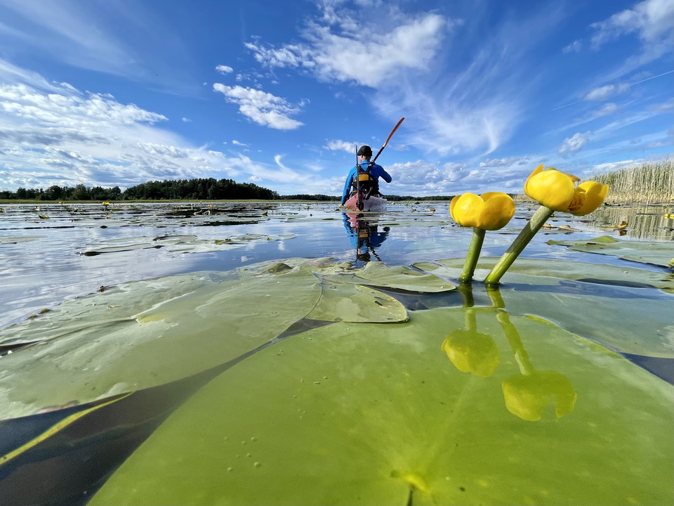
There is a lovely view of Lake Vänern and several picnic tables, shelters and barbecue areas, which makes it possible for several groups to stay here at the same time.
Two coal burners' huts built in modern time, for plain accomodation. Each hut has two wooden bunks and a sitting bench. The huts are open in summer and locked during off-season. You can stay over-night if available. By the huts there is a bench table if y…
With just a short detour off the trail of about 100 m, there is a beautiful spot by the shore of Lake Stor-Treen. Here is a bench table with a view which invites you to a long break. Across the lake there is a nice beach area at Treen's camp ground.
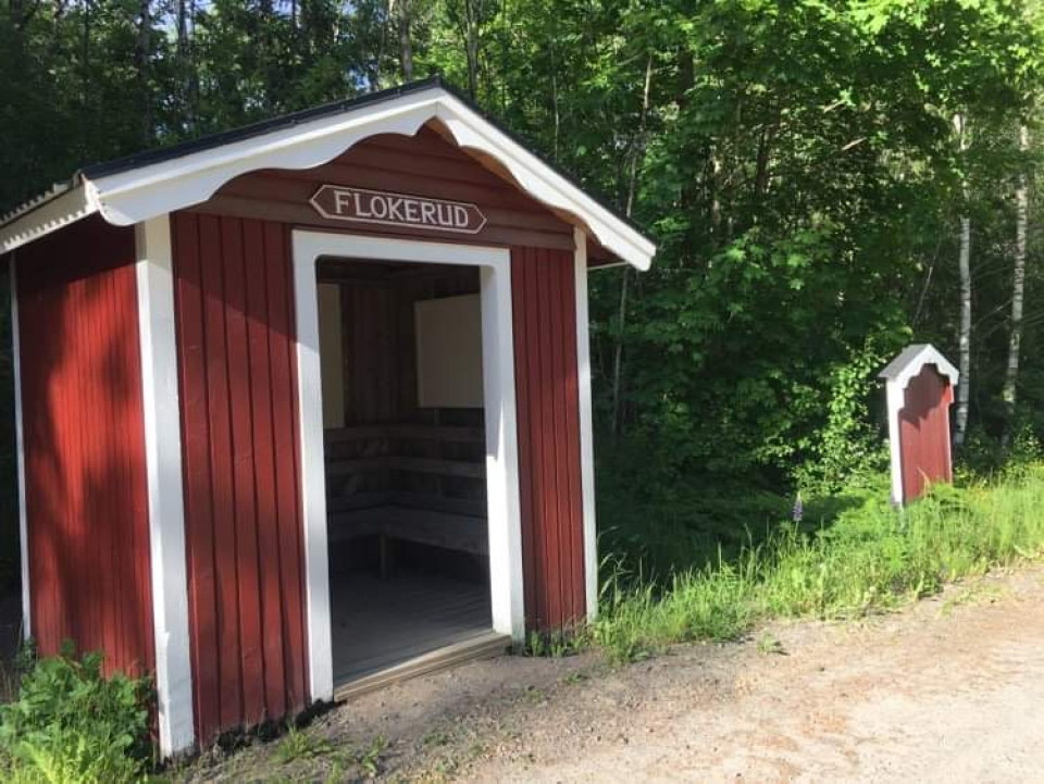
A rest stop along the Vänerleden and Unionsleden cycle paths. Take a break in Flokerud! A day on the bike can be tiring both afterwards and along the way. So why not stop and enjoy a break at Flokerud´s rest stop. 1 km along the road you will find a wind sh…
Just on the shore of the tarn Savtjärnet, there is a bench table with a beautiful view.
Next to the croft Surängen, there is a roofed bench table. The trail turns off to the east from here, on a forest path.
A bench table is placed where the croft Danielstorp used to be. It was inhabited till the 1940s. The stone built base of the cattle barn is still visible. It is said to have been built by one of the owners, Per Jansson (1842-1890), and Väg-Johannes*. Source…
Bench table with a view of the tarn Västra Abborrtjärnet.
A bench table is placed about 50 m into the western branch of the path split. Towards the north east the trail descends the Prästgårdshöjden to the church of Bogen, where the annual Church Walk takes place between Bogen and Axland. To continue on the Finnv…
On the Källerashöjden the two trails Finnvägen and Finnskogleden meet. Here is a bench table.
A roofed bench table is situated next to the ruins of an old mill at the Övre Bruket. There are also remains of the flotation flume between Mången and Bruksälven, where the walking bridge takes you east on the Bruksleden trail towards the Mångsjö dams. The…
The parking area at the church of Mangskog is the starting point for the hiking trail Finnleden Östra. Here is a roofed bench table, accessible with wheel chair or walker with concern for visitors to the church or the cemetary with special needs.
Bench table along the hiking trail Finnleden Östra in Humsjön.
Bench table nearby the place where the croft Molltorpet used to be. The place of the croft is marked with a plaque next to the logging road, about 100 m north of the bench table.