Vadslingan
- Municipality: Söderhamn
- 6680.17 km away from you
- 7.5 km
- Difficulty: Green
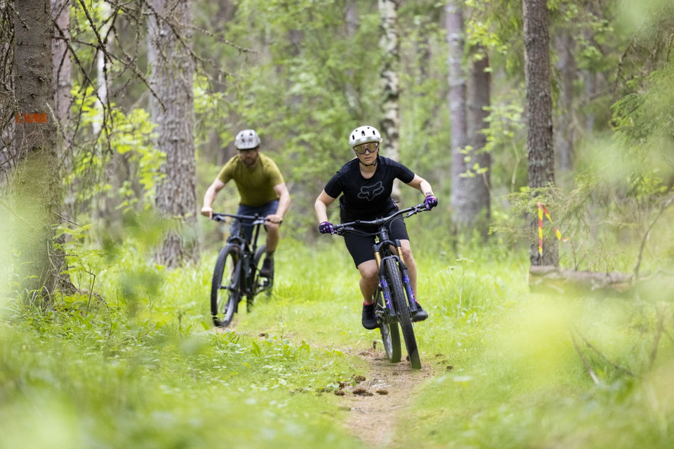
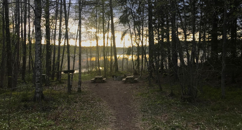
Vadslingan är den enklaste leden och tar dig genom natursköna Lugnesjöns naturreservat. Terrängcykeln behövs ej för denna led. Trivselregler

Gävleborgs län
Naturkartan samlar de rundslingorna för vandring i Gävleborgs län som är populärast bland våra användare.
Vadslingan är den enklaste leden och tar dig genom natursköna Lugnesjöns naturreservat. Terrängcykeln behövs ej för denna led. Trivselregler
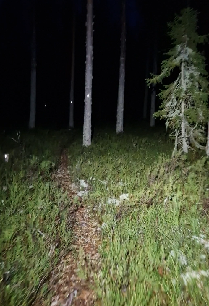
Hälsingland multisport Since the fall of 2019, there are also 2 reflex courses marked. The courses divide after 2 km where the long one then connects to the shorter one again. The courses are marked with round, yellow reflectors about 5 cm wide. Well-being…
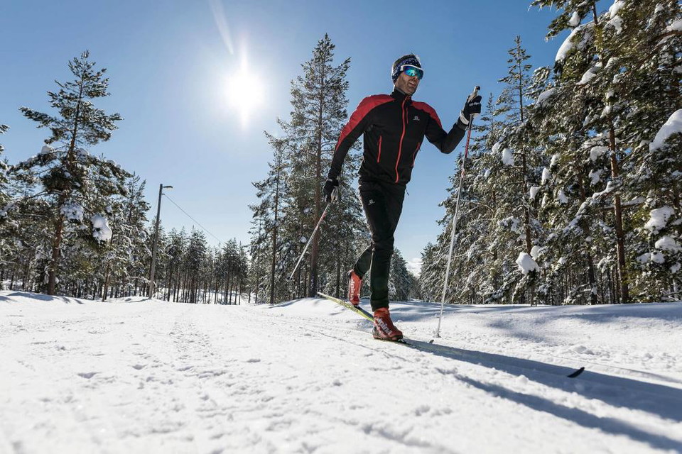
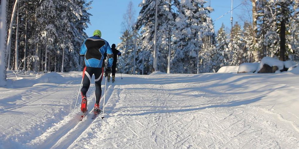
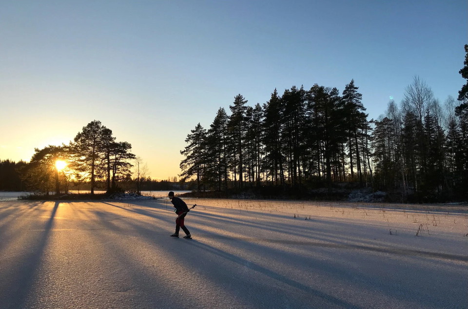
At Hällåsen and Hällmyra you can go cross-country skiing through beautiful landscapes or challenging exercise trails. In a snowy winter, there are well-prepared ski trails of varying difficulty. Current trail status is updated on skidspår.se Stormyrasvängen…
På Hällåsen och Hällmyra åker du längdskidor genom vackra landskap eller utmanande motionsspår. En snörik vinter finns välpreparerade skidspår i skiftande svårighetsgrad. Aktuell spårstatus uppdateras på skidspår.se
Södergrenslingan är Hällmyras svåraste och tuffaste led. Belysningen i spåren: på morgonen kl. 06:00-09:00 samt på eftermiddagen kl. 15:00-22:00. Alla dagar i veckan.
Electric light trails Lighting is missing on the new route next to Korsåvägen The lighting will hopefully be in place during 2024
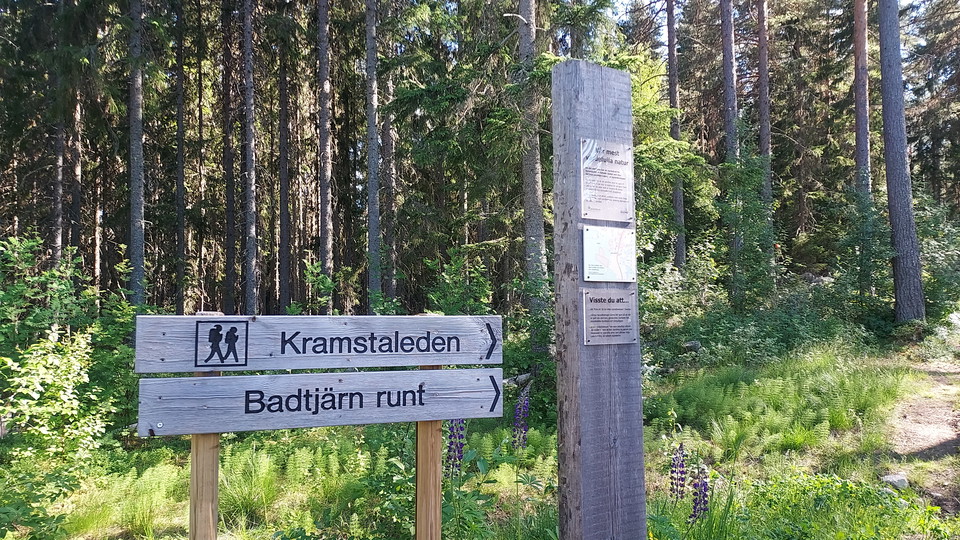
The Kramstaleden trail is relatively easy to walk, it runs along several wide and well-trodden paths. The trail goes through beautiful forests and takes you past Kramstatjärn with both a rest house with barbecue facilities and a dry toilet. At Kramstatjärn…
Discover the exciting history of Söderhamn with a self-guided walking tour through the city. A perfect tour if you have an hour to spare and want to know more about Söderhamn's history and buildings. The building monument Rådhustorget, the cozy district Öst…
The walking trail is just over 2 km long and consists mostly of gravel and asphalt. The loop is sometimes scenic and offers a nice environment in Bruksparken and along Ljusnan. A short stretch runs along a road. In Bruksparken there is a boules court and a…
This walking trail of about 7 km goes around central Söderhamn and shows the town from several perspectives. It passes through leafy areas, residential areas, past the heating plant and the water treatment plant. You also walk a bit along Söderhamsfjärden.…
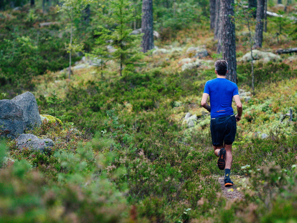
The course starts from Söderhamn OK's clubhouse on Hällåsen and is marked with gray reflectors. Normally, maintenance of the marking takes place annually in late fall before the start of the Night Trail Run. The surface consists mostly of trails and is chal…
The course starts from Söderhamn OK's clubhouse on Hällåsen and is marked with gray reflectors. Normally, maintenance of the marking takes place annually in late fall before the start of the Night Trail Run. The surface consists mostly of trails but some go…
En härlig led som väver ihop de bästa partierna längs befintliga leder. Obs! Leden är inte skyltad (den följer andra skyltade leder) - följ den istället digitalt i appen Biking Gästrikland eller på webbenhttps://app.bikinggastrikland.se/?trail=jadris
Obs! Leden är inte skyltad - följ den istället digitalt i appen Biking Gästrikland eller på webbenhttps://app.bikinggastrikland.se/?trail=vindparken-jadraas
Obs! Leden är inte skyltad - följ den istället digitalt i appen Biking Gästrikland eller på webbenhttps://app.bikinggastrikland.se/?trail=fabodrundan
Naturkartan samlar de rundslingorna för vandring i Gävleborgs län som är populärast bland våra användare.