
Bosön runt
- Hiking
- County: Stockholms län
- 6838.86 km away from you
Trail details
- Length 4.0 km
Actions
Description
Activities And Facilities
- Hiking
Surface
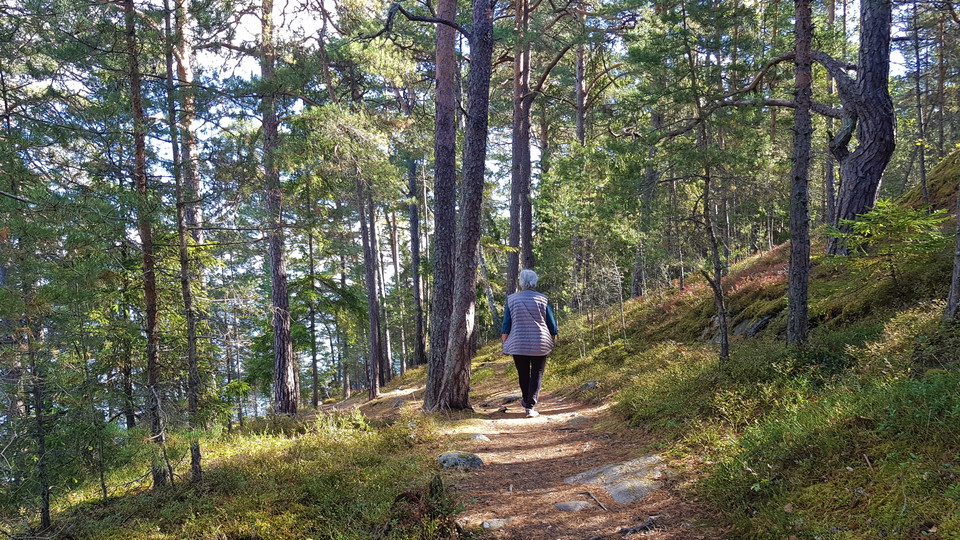
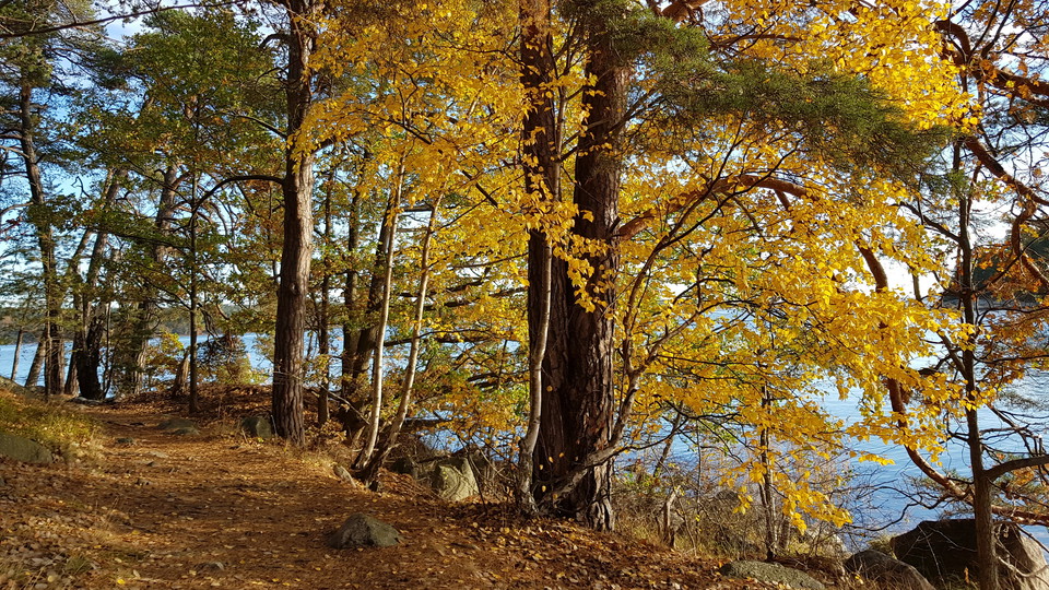
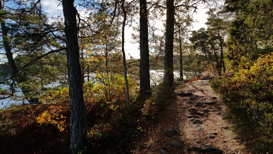
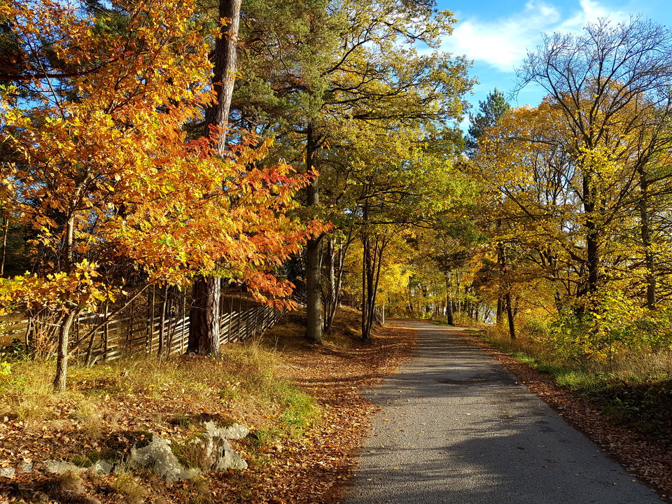
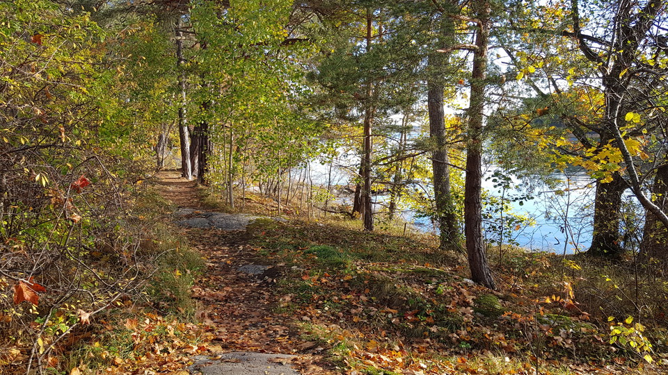
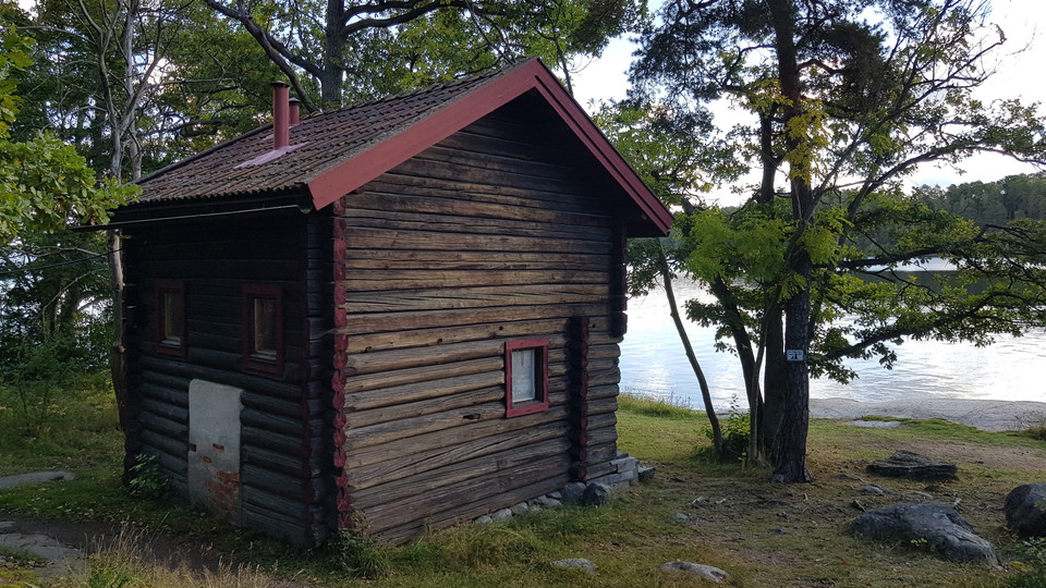
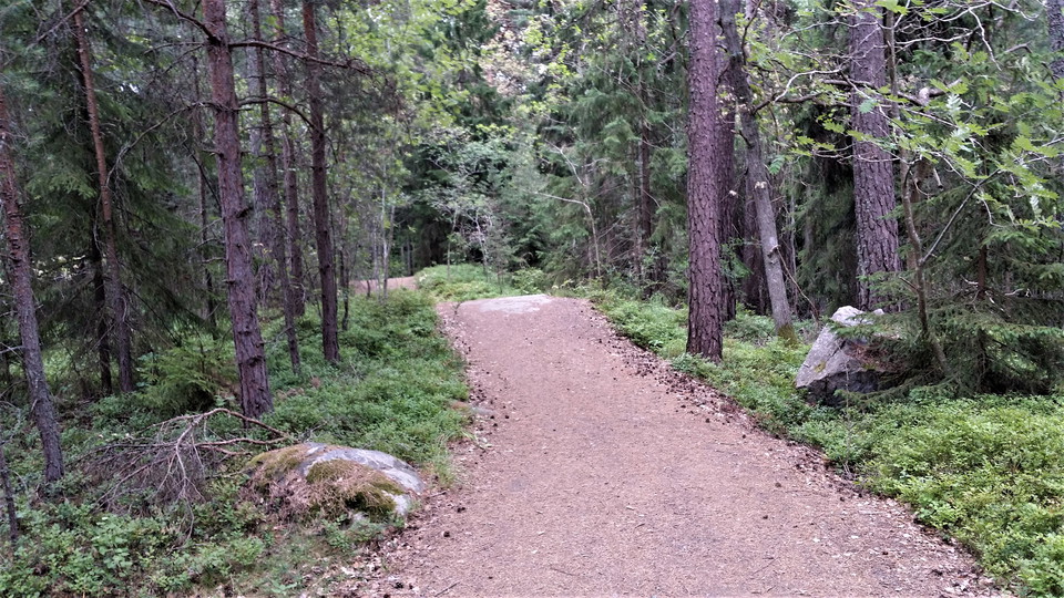
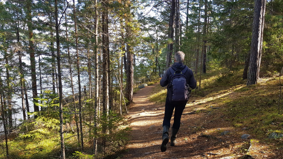
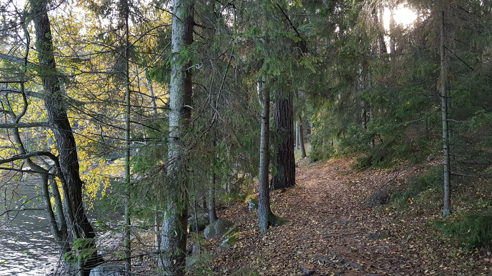
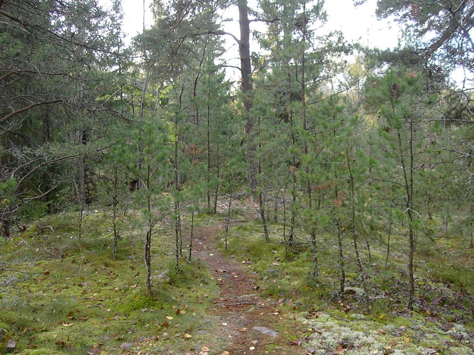
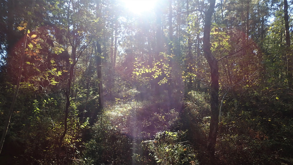
Varied. Bumpy path around Dalakolonin then good gravel path past Idrottsinstitutet. Local street Bosövägen north and then easy path and forest trails to Boviksvägen. At the intersection with Bosövägen pass the road and into the fine Lidingöloppsspåret and then back to the boat harbor.
Parking
In summer, on gravel surfaces at Bosön's boat landing site, Bosö Hamnväg. Subject to availability next to the Sports Institute.
Communications
Bus from Ropsten to Idrottsinstitutet Bosön. Cycle path from Ropsten.
Directions
From Ropsten drive/cycle towards Elfvik, follow Norra Kungsvägen to exit left towards Bosön.
Contact
Address
Kontakta oss för frågor om Lidingös natur.
Email address
Lidingö Stad
Organization logotype

Please be aware that some of these texts have been automatically translated.
I’ve been here 10



I want to go here 37



Reviews
—
0 reviews
- 5 :
- 4 :
- 3 :
- 2 :
- 1 :
Questions & Answers
Ask a question to other Naturkartan users.
Users images
Share your photos of the place!
