
-
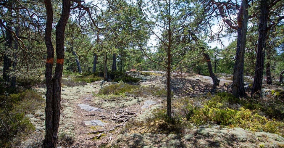
Vandring i skärgårdsnatur. -
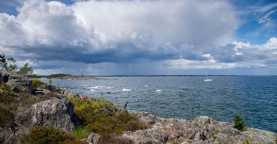
-
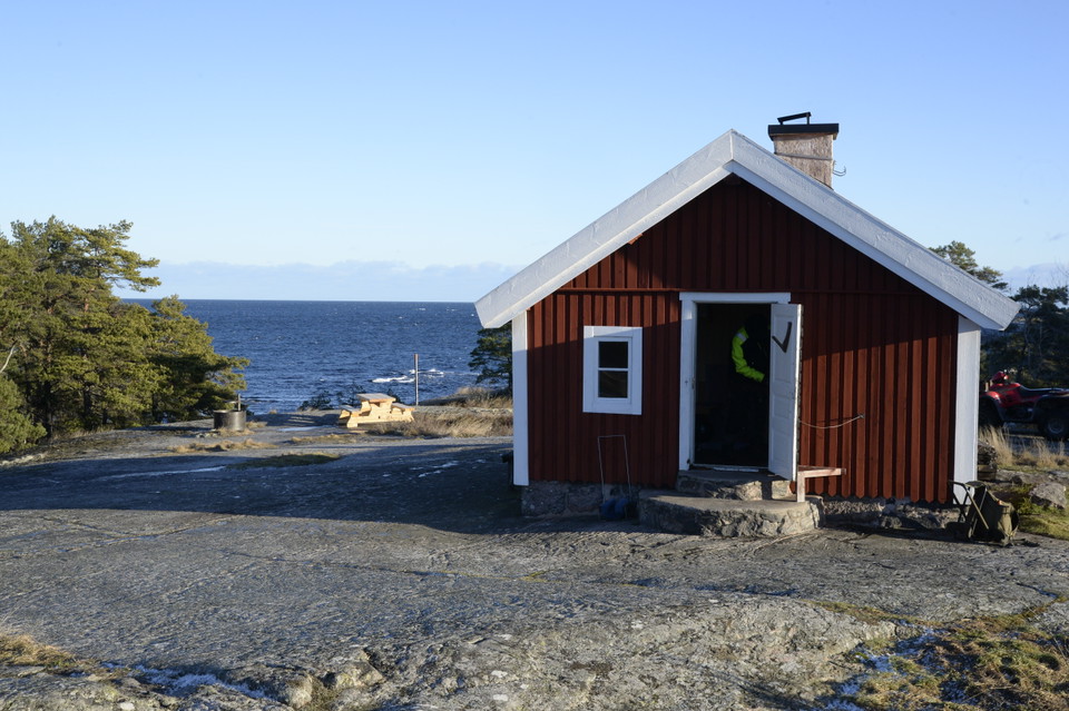
Torrö Lotsstuga -
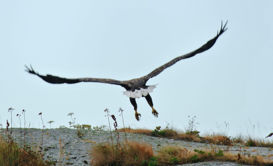
Havsörn -
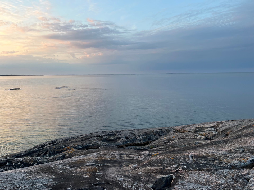
Havsutsikt
Torrö runt, Östgötaleden
- Circular trail
- Hiking
- County: Östergötlands län
- 6848.60 km away from you
Trail details
- Length 6.4 km
Actions
Description
In the far south of the Östergötland archipelago lies Torrö Nature Reserve. Here you can experience the archipelago nature with pine forests, barren rocks, beautiful flowers and a rich bird life. In many places, the trail runs close to the sea on flat rocks and there are good chances for swimming.
The trails on Torrö itself are a total of about 6.5 kilometers and consist of several shorter stretches that can be combined in different ways. With the distance from the parking lot, the hike is 11-15 km.
Just after parking at Åsvikelandet nature reserve, take the path to the right towards Västra Stäket. When after 3.5 km. you are again on the road towards Torrö, you turn right towards the island and are after 1.4 km. at the bridge. Here and there, the sea has been glimpsed, but when you get over to Torrö, the horizon opens up. At the bridge there is a barbecue area and here you can choose to walk the trail to the left, or continue the road to Torrö village where the same trail turns left into the forest.
Dry toilets and garbage cans are located on the cape at Skeppskroken north of Torrö village. Dry toilets are also available at the picnic hut on the eastern tip of the island.
At Torrö there is an old renovated pilot cabin that can be rented through the landowners for overnight stays for a few nights. At the cemetery headland adjacent to the pilot house, there is a good view of the open sea and the surrounding archipelago. Birds can be seen here during spring and fall.
The nature reserve and its facilities are managed by the County Administrative Board of Östergötland. Read more here: Torrö Nature Reserve | County Administrative Board Östergötland
Activities And Facilities
- Hiking
- Circular trail
Surface
Forest path, Path over rocks, Gravel path
Parking
To find the parking lots via GPS/map app on your phone, enter these coordinates (WGS84) in the search box:
- Main parking lot: 58.02972, 16.74096
- The smaller parking lot: 58.02796, 16.75135
The main parking lot has space for nine cars and is centrally located in the nature reserve. The second parking lot is located about one kilometer further down the road, slightly closer to Torrö. It has space for five cars.
Directions
Åsvikelandet nature reserve is located on the east coast, about three miles south of Valdemarsvik and six miles north of Västervik.
Downloads
Contact
Address
Välkommen till Östgötaleden, 150 mils vandring i Östergötland!
Email address
Kontakt Östgötaleden
Organization logotype

Please be aware that some of these texts have been automatically translated.
I’ve been here 10






I want to go here 13

Questions & Answers
Ask a question to other Naturkartan users.
Reviews
1 review
- 5 :
- 4 :
- 3 :
- 2 :
- 1 :
Users images
No user images yet. Be the first to share!

Vackert vid kusten