
Seboklint
- Viewpoint
- County: Östergötlands län
- 6811.76 km away from you
Actions
Description
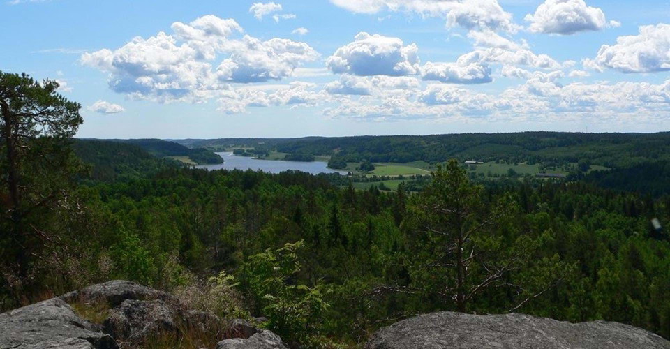
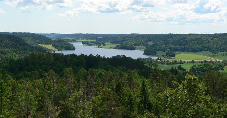
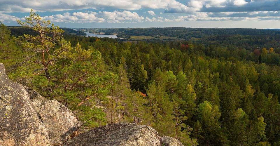
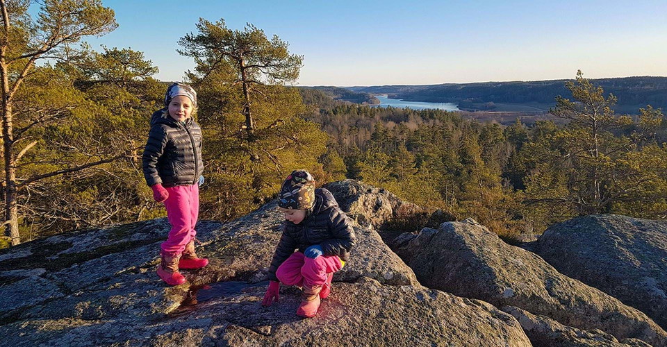
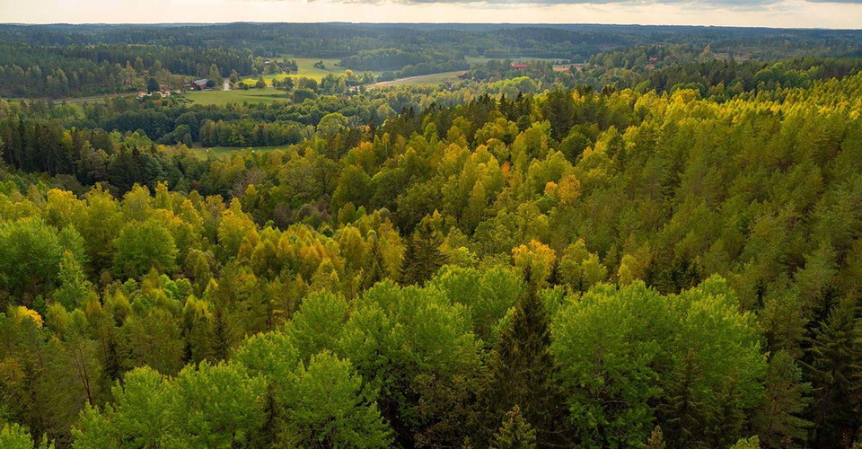
Already from the highway at Falerum, you can see the mighty peak of Seboklint rising above the community. The mountain measures 138 meters above sea level and after the melting of the land ice, it probably formed a shallow bed just below the surface of the Baltic Ice Lake. From the top of Seboklint, you get a magnificent view of large parts of Uknadalen all the way down to Edsbruk. The viewpoint is actually considered one of the best in Östergötland.
Some days it can be quite windy up on the top, but luckily there are plenty of rocks and stones to seek shelter behind. The mountain is covered with rocky forest with a large number of old and smooth-barked pines.
The Östgötaleden trail goes past Seboklint via a circular loop of 5 km around Falerum community. If you do not want to walk the entire loop, the western driveway is recommended as it is less strenuous. You can also take the opportunity to make a detour to Risebofåran, an area unique to the municipality with a very high conservation value. Risebofåran is located right next to the gravel road between Kulla and Risebo and is a deeply cut stream ravine surrounded by mighty deciduous trees. The area has a shady grove character with high humidity and a rich bird life.
Read more in Guide to Åtvidaberg's nature.
See brochure: Highlights in Uknadalen
Activities And Facilities
- Viewpoint
Contact
Address
Välkommen till Östgötaleden, 150 mils vandring i Östergötland!
Email address
Kontakt Östgötaleden
Organization logotype

Please be aware that some of these texts have been automatically translated.
I’ve been here 1

I want to go here
Questions & Answers
Ask a question to other Naturkartan users.
Reviews
0 reviews
- 5 :
- 4 :
- 3 :
- 2 :
- 1 :
Users images
No user images yet. Be the first to share!
