
Stage 8 MOGETORP – BLANKHULT
- Hiking
- Near Public Transport
- County: Örebro län
- 6682.49 km away from you
Trail details
- Length 14.0 km
- Time 4 h
- Difficulty Red - demanding
Actions
Description
Activities And Facilities
- Hiking
Accessibility
- Near Public Transport
Facts
Length: 14 km
Time: 4 h
Difficulty level: 3
Activities: Swimming, cycling
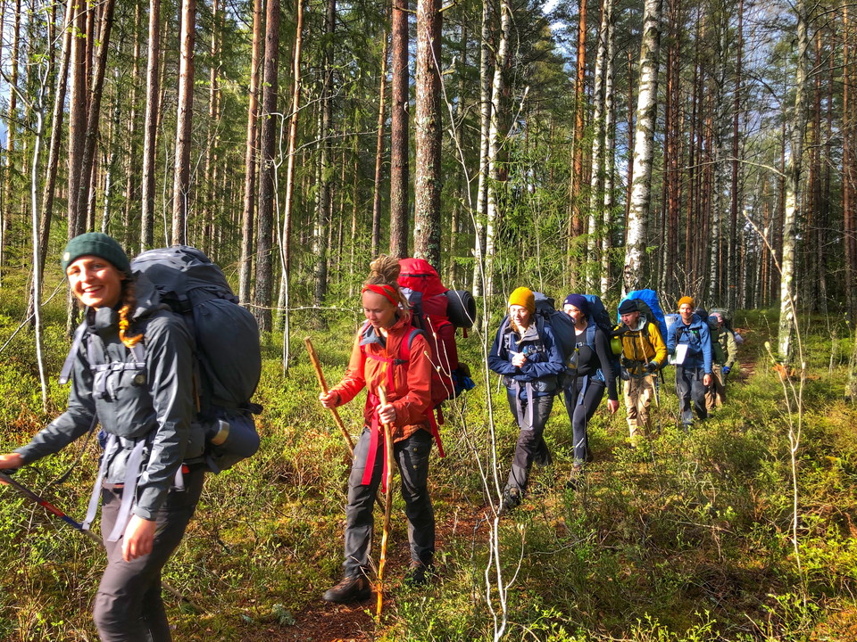
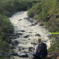
Surface: Predominantly forest path and forest road.
Altitude: 60 m above sea level
Fresh water: Access to fresh water is available on the outside of Mogetorp's hostel. In Blankhult there is drinking water on the west side of the main building. There is also a cold spring at the rest area Vinterhagen, which is about halfway on the stage. We recommend that you boil this water.
Accommodation:
Directions
To Mogetorp, the bus runs several times a day along highway 50 (Örebro-Nora). Blankhult can be reached from Klockhammar, which has a bus service to Örebro in the morning and evening on weekdays. From Klockhammar you can follow the gravel road up to Blankhult, just over 2.5 km.
You can also book local traffic to and from Blankhult, the nearest stop will be Garphyttan. https://www.lanstrafiken.se/reseplanering/flextrafik-och-nartrafik/nartrafik-i-orebro-lan/
Downloads
Contact
Email address
Johan Karlström
Organization logotype

Please be aware that some of these texts have been automatically translated.
I’ve been here 39




I want to go here 57











Questions & Answers
Ask a question to other Naturkartan users.
Reviews
1 review
- 5 :
- 4 :
- 3 :
- 2 :
- 1 :
Users images
No user images yet. Be the first to share!

super härlig vandring