New!

Now you can share photos on Naturkartan! 📸

Read more

Best hiking trails in Orsa

Orsa

Naturkartan samlar de vandringslederna i Orsa som är populärast bland våra användare.

Images

Map

22 Best hiking trails in Orsa

Hiking

Fryksås-Orsa, Siljansleden

  • Municipality: Orsa
  • 6565.57 km away from you
  • 17.7 km

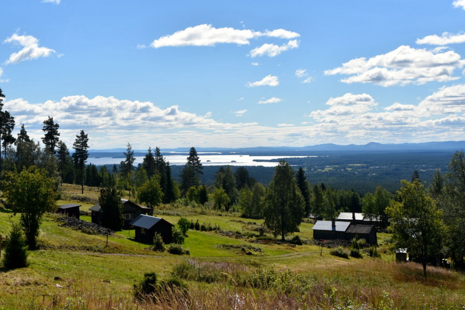
The route starts at Fryksås Fäbodar, which is located on a hill overlooking Lake Orsasjön. The hike is done on a path, both uphill and downhill through a lush forest environment. The route ends in the middle of Orsa. There are no water and food options alon…

Hiking

Orsa (Orsa kyrka)-Brunnvasselbodarna, Siljansleden

  • Municipality: Orsa
  • 6574.99 km away from you
  • 14.0 km

From day two, you walk on Dalkarlsvägen, which has the same route as Siljansleden to Rättvik. Between Orsa and Viborg the trail goes through villages and communities. After Viborg village, it continues in varied surroundings such as forests, cultivated land…

Hiking

Four Peaks

  • Municipality: Orsa
  • 7.0 km

Trail running/hiking on a path with four peaks to climb.

Hiking

Vildmarksrundan

  • Municipality: Orsa
  • 6563.57 km away from you
  • 7.0 km

Here you will find wide, nice trails and sometimes tough hills.

Best hiking trails in Orsa

Naturkartan samlar de vandringslederna i Orsa som är populärast bland våra användare.

Naturkartan

Open this in the app

