Best hiking trails in Kungälv

Kungälv

Naturkartan samlar de vandringslederna i Kungälv som är populärast bland våra användare.

Map

17 Best hiking trails in Kungälv

Hiking

Grandalen - Bottenstugan, Bohusleden Etapp 8

  • Municipality: Kungälv
  • 6602.36 km away from you
  • 8.1 km
  • 4 h
  • Difficulty: Red

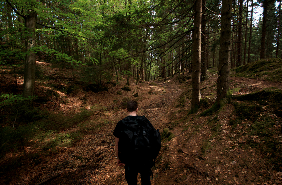
Moderate hiking, on the network of hiking trails for a total of 7.5 kilometers. Access to viewpoints, swimming spots, canoeing and fishing. Hiking experience and good fitness is preferred, the terrain is very hilly in places. On the way: Fishing is possible…

Hiking

Fontin - Grandalen, Bohusleden Etapp 7

  • Municipality: Kungälv
  • 6604.74 km away from you
  • 16.5 km
  • 7 h
  • Difficulty: Blue

Moderate hike, in a nature reserve for a total of 19 kilometers in Kungälv. The hike takes place in deciduous forests and over a wooded mountain plateau. On the way: The popular Kärleksstigen trail runs along the mountainside towards Nordre älv. Beautiful v…

Hiking

Gul slinga

  • Municipality: Kungälv
  • 6602.32 km away from you
  • 3.6 km

Gul

Hiking

Röd stig

  • Municipality: Kungälv
  • 6594.24 km away from you
  • 2.4 km

Red

Hiking

Blå

  • Municipality: Kungälv
  • 6594.36 km away from you
  • 2.9 km

blue

Hiking

blå stig

  • Municipality: Kungälv
  • 6602.26 km away from you
  • 5.6 km

Blue

Hiking

Vit stig

  • Municipality: Kungälv
  • 6594.11 km away from you
  • 0.4 km

White

Best hiking trails in Kungälv

Naturkartan samlar de vandringslederna i Kungälv som är populärast bland våra användare.

Naturkartan

Open this in the app
