
Tegnértornet, entrance HO1
- Entrance
- Parking
- County: Jönköpings län
- 6730.90 km away from you
Actions
Description
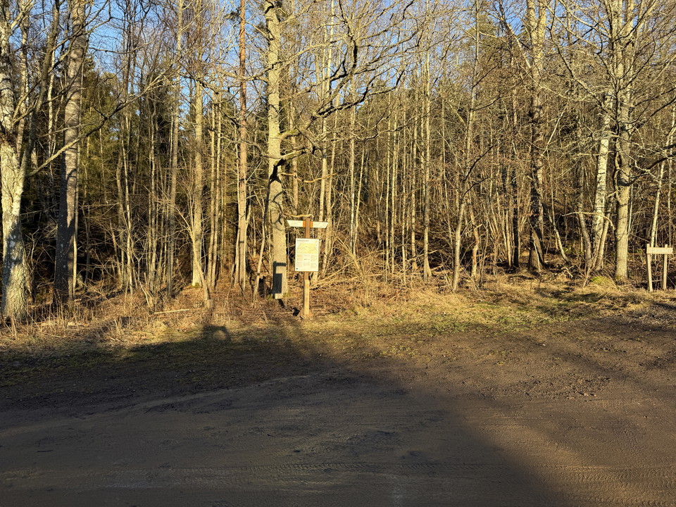
The Tegnértornet trail entrance can be reached by car by turning off highway 133 east of the E4 and following the road for about 1.5 km. Alternatively, you can go to the Grännaberget trail entrance and walk to this entrance, about 1 km.
From the parking lot there is a 1.3 km long path to the tower which is also part of Holavedsleden.
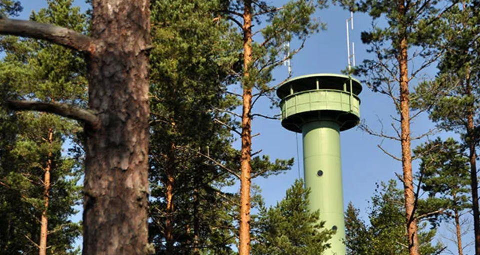
From the top of the tower you have a view for miles. The tower is 27 meters high and is 262 meters above Lake Vättern. It was built in 1973 on the initiative of the famous sports enthusiast Torsten Tegnér.
Activities And Facilities
- Entrance
- Parking
Contact
Address
Kontakta oss om du har frågor om Jönköpings natur och friluftsliv.
Email address
Organization logotype

I’ve been here
I want to go here 1

Questions & Answers
Ask a question to other Naturkartan users.
Reviews
0 reviews
- 5 :
- 4 :
- 3 :
- 2 :
- 1 :
Users images
No user images yet. Be the first to share!
