Jönköpings län

Entrance

Map

95 Entrance

Entrance

Hultsjö, ledentre HÖ11/HÖ12

  • Municipality: Sävsjö
  • 6567.48 km away from you

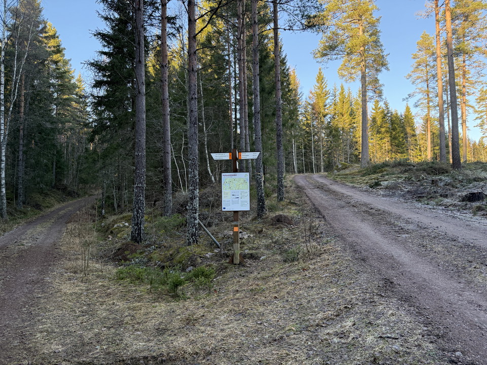
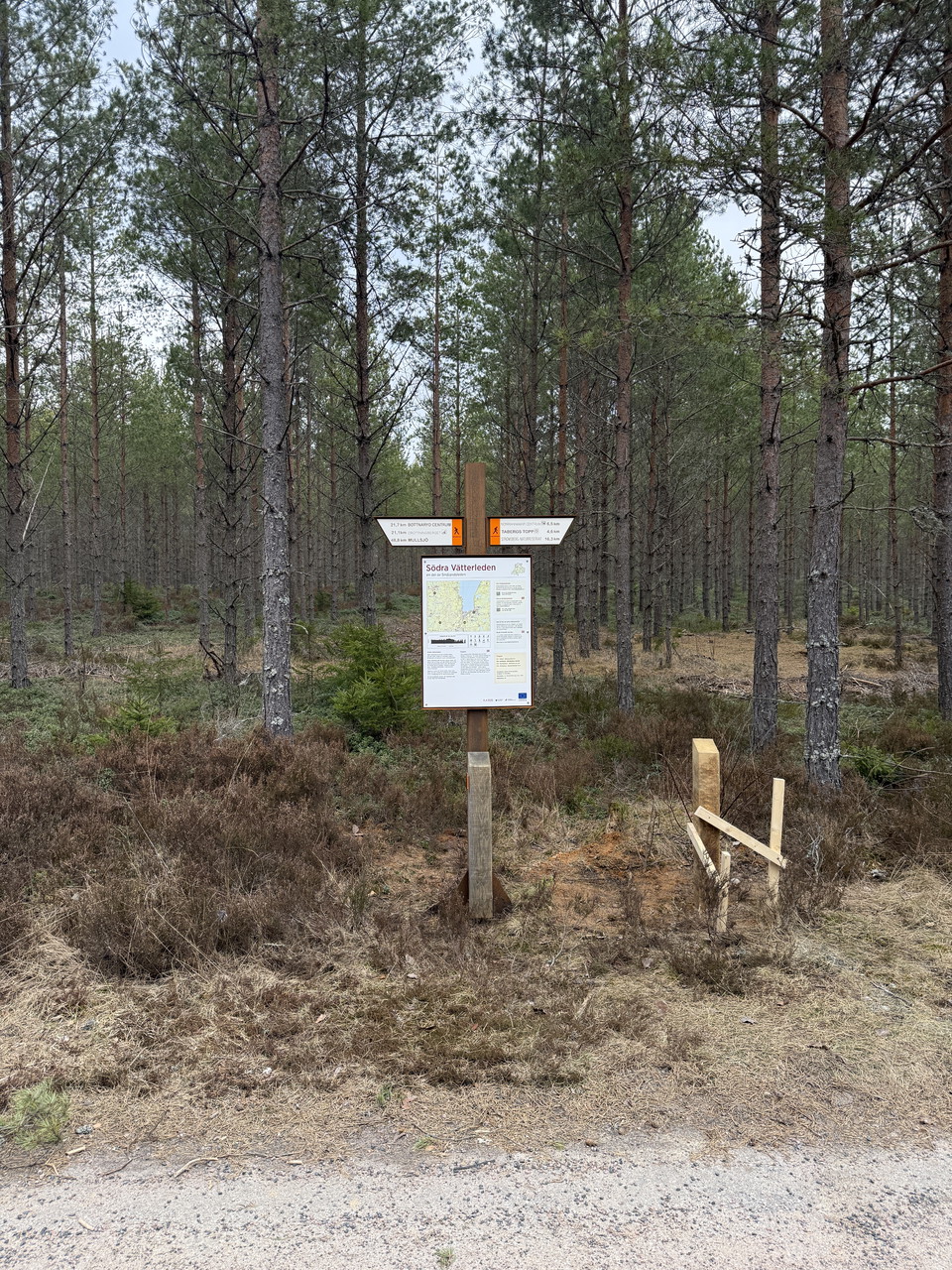
Outside Hultsjö church, HÖ11 and HÖ12 meet. Here you can head towards Sävsjö or Asa. Just south of the trail entrance there is a shelter that is reached via a small detour from the trail.

Entrance

Kärda, Entrance K2/V1

  • Municipality: Värnamo
  • 6531.45 km away from you

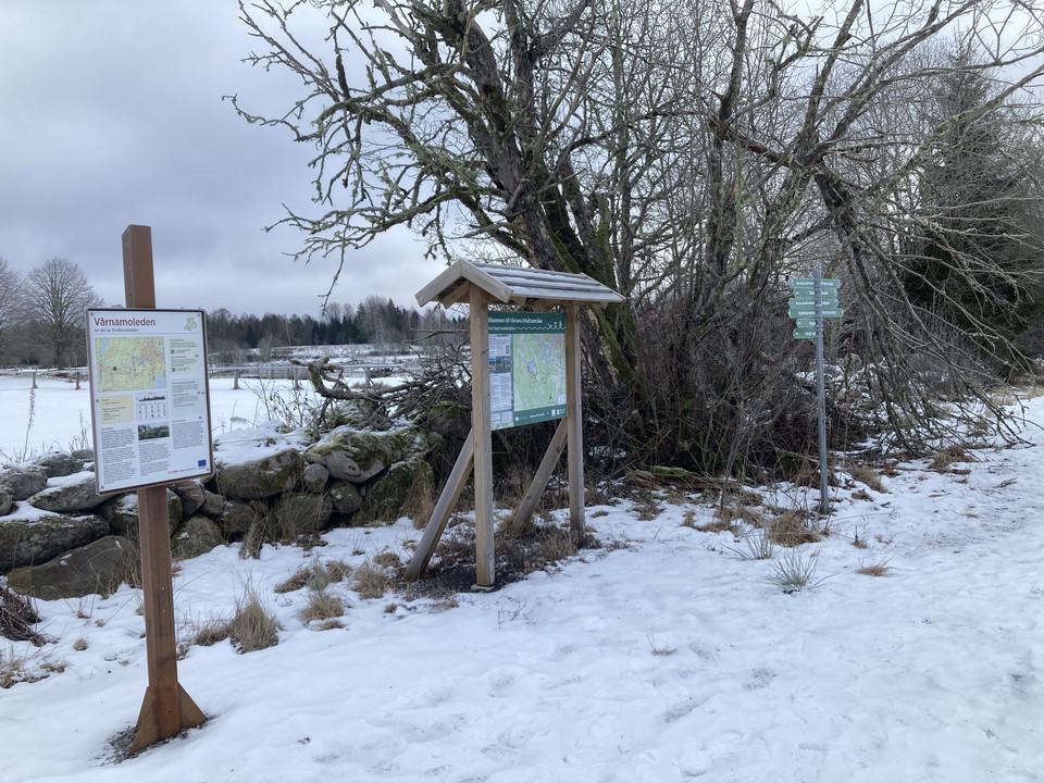
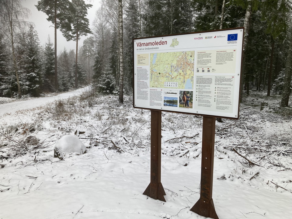
In Kärda, Värnamoleden V1 and Kärdaleden K2 meet. To get through Sörsjön's outdoor area, take V1 east, if you want to get towards Store Mosse National Park, take K2 towards Andersberg and further into the national park. In Andersberg there is further inform…

Entrance

Bastan, Entrance SV2

  • Municipality: Jönköpings kommun
  • 6514.07 km away from you

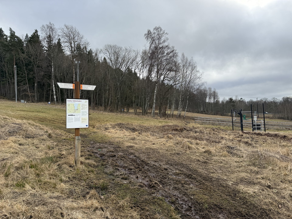
At the scout hut Bastan you can step on Södra Vätterleden stage SV2. There is also a shelter, fireplace and dry toilet.

Entrance

Entrance, Örserum HO1/HO2

  • Municipality: Jönköpings kommun
  • 6527.46 km away from you

Here the stages HO1 and HO2 meet and there is also a connection to the A1 that starts at Örserum C. In Örserum there is accommodation and a restaurant and also a small country store. There is also a bus connection to Tranås and Gränna.

Entrance

Forsa, entrance HÖ13/HÖ14

  • Municipality: Nässjö
  • 6557.38 km away from you

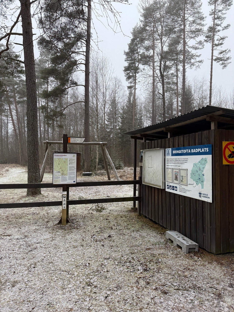
Here at Bringetofta bathing area, which is also called Forsa, there is parking, windbreak, barbecue area and a bathing area. During the period June 1 - August 31 there are also dry toilets.

Entrance

Tomtabacken, entrence HÖ18/HÖ19

  • Municipality: Nässjö
  • 6545.41 km away from you

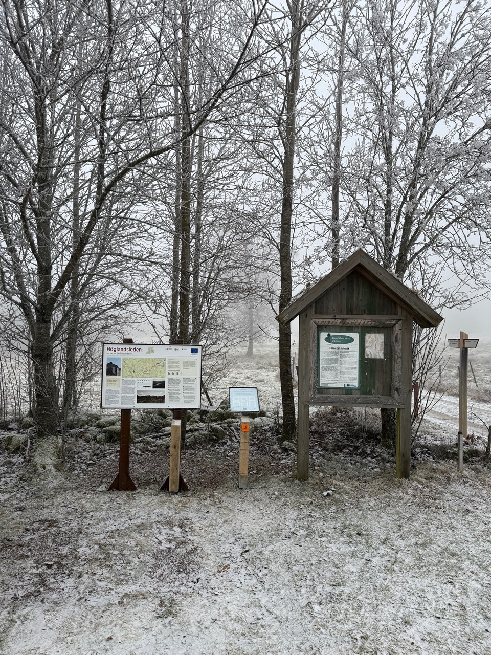
Tomtabacken is Götaland's highest point with fantastic views! At this trail entrance there is plenty of space for parking. There is an accessible toilet in the connection to the trail entrance. Just a few hundred meters from the entrance there is a shelter…

Entrance

Tegnértornet, entrance HO1

  • Municipality: Jönköpings kommun
  • 6521.93 km away from you

The Tegnértornet trail entrance can be reached by car by turning off highway 133 east of the E4 and following the road for about 1.5 km. Alternatively, you can go to the Grännaberget trail entrance and walk to this entrance, about 1 km. From the parking lot…

Entrance

Smålandsgården, entrance A1/HO1/HO2

  • Municipality: Jönköpings kommun
  • 6527.72 km away from you

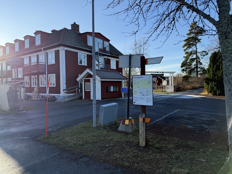
In Örserum there are two accommodation facilities, Smålandsgården and Örserums brunn. This trail entrance is located right in between these accommodations with a restaurant. Here you can finish or start your hike or maybe take a day trip. You reach Holaveds…

Entrance

Stora Ryet, entrance V1

  • Municipality: Värnamo
  • 6535.35 km away from you

Welcome to the Ledentré Stora Ryet, which is Värnamo city's closest trail entrance on Smålandsleden. 500 meters to the north is the newly built district Mossleplatån where there there are parking facilities. At Ledentré Stora Ryet there is an information b…

Entrance

Östra Värnaro, entrance V1

  • Municipality: Värnamo
  • 6536.75 km away from you

Welcome to Ledentré Brukshundsklubben. The trail entrance is the hub of the Värnaro outdoor area, which the Småland Trail runs through. Värnaro Outdoor Area is located on the outskirts of Värnamo and consists of several hiking and biking trails of varying…

Entrance

Järabacke, entrance SV4

  • Municipality: Jönköpings kommun
  • 6520.44 km away from you

Along Södra Vätterleden stage 4 is Jönköping's slalom slope, Järabacken. Here you can park your car and make your way up the slalom slope and get a fantastic view of Jönköping and Lake Vättern.

Entrance

Brunnstorpsberget, entrance JB1

  • Municipality: Jönköpings kommun
  • 6520.57 km away from you

At Brunnstorpsberget, you’ll enjoy a magnificent view of Lake Vättern, with Huskvarna and Jönköping lying below the hill. From the Brunnstorpsberget entrance along Stage JB1, you’ll reach the Ulvadalen hiking loop, where you can make your way down to Brunns…

Entrance

Bunn (Bauergården), entrance JB2/JB3

  • Municipality: Jönköpings kommun
  • 6526.56 km away from you

A few hundred meters from the John Bauer Trail is the trail entrance Bunn, Bauergården. Here you can fill up with water, have lunch or stay overnight at the hotel. There is also a swimming area and circular loops under the hotel's auspices, but which are of…

Entrance

Åminne, entrance L1

  • Municipality: Värnamo
  • 6538.19 km away from you

Here at Åminne, which is beautifully located at the edge of Vidöstern, there is a small unmanned minilivs. If you want to stay overnight there is a shelter and barbecue area. There is also a swimming area with associated parking. There is also a bus connect…

Naturkartan

Open this in the app