
-
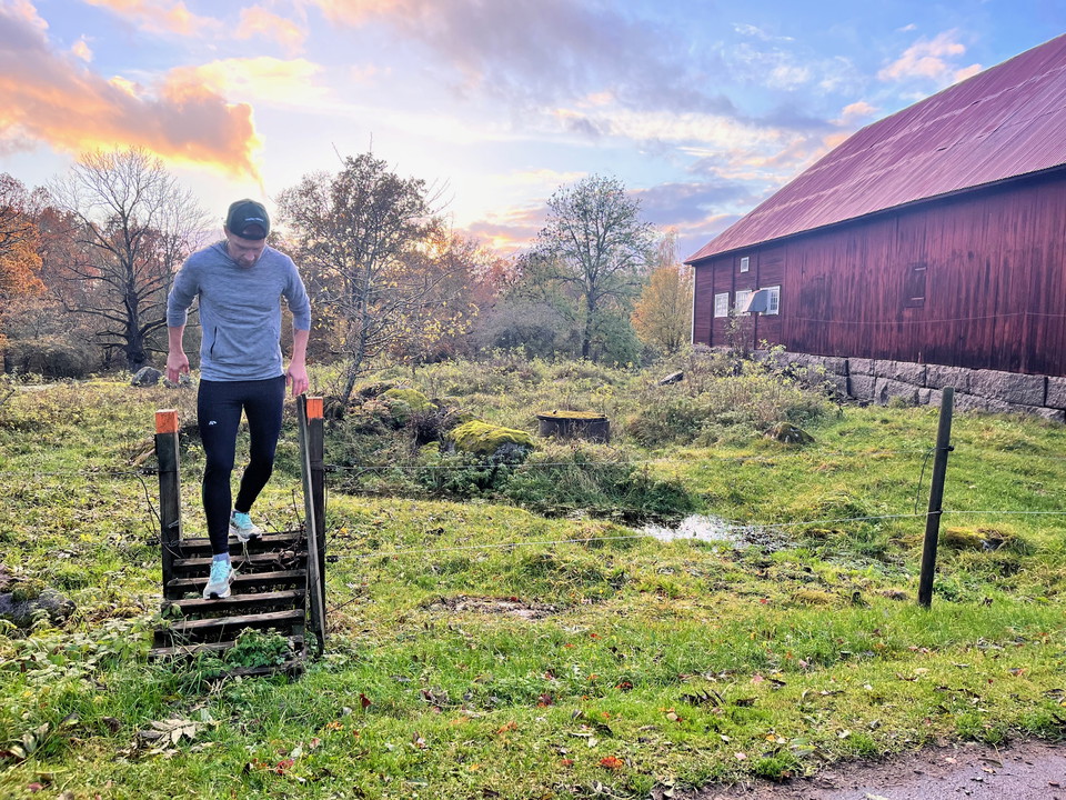
Photo: Wallby säteri
Skirösjön runt, vandringsled
- Hiking
- County: Jönköpings län
- 6812.45 km away from you
Trail details
- Length 6.4 km
Actions
Currently
Be sure to close the door behind you when you enter the paddock.
Description
The sunrises are magical at Wallby and this is a perfect morning walk before breakfast. Hike along a fantastic trail around Skirösjön. The trail goes through forests, cow pastures, through Skirö and back through the avenue.
Activities And Facilities
- Hiking
Vegetation
You will need to cross a bridge and pass through a cow pasture with free-roaming cows during the summer.
Downloads
Contact
Email address
Vetlanda kommun
Organization logotype

Please be aware that some of these texts have been automatically translated.
I’ve been here
I want to go here 2

Questions & Answers
Ask a question to other Naturkartan users.
Reviews
0 reviews
- 5 :
- 4 :
- 3 :
- 2 :
- 1 :
Users images
No user images yet. Be the first to share!
