Bästa mountainbikelederna i Västerbottens län

Västerbottens län

Naturkartan samlar de mountainbikeleder i Västerbottens län som är populärast bland våra användare.

Images

Map

43 Bästa mountainbikelederna i Västerbottens län

Mountainbiking

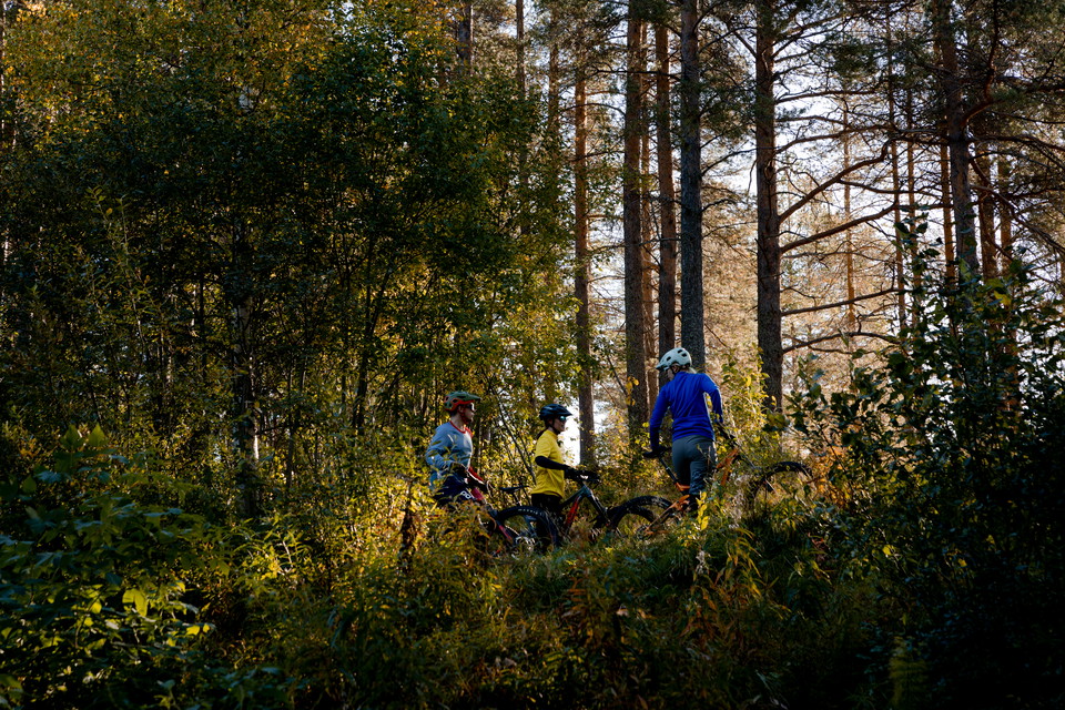
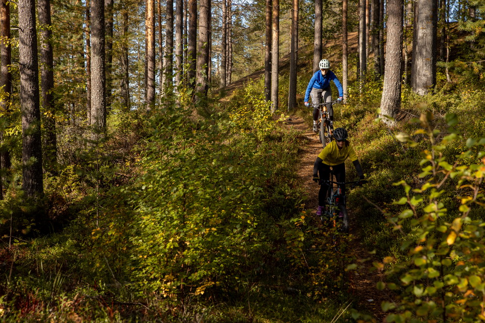
Isälvsleden

  • Municipality: Vindeln
  • 6602.28 km away from you
  • 58.0 km
  • Difficulty: Blue

The nature along this trail is mostly sandy pine forest, which makes this a nice and easy cycling path, but the trail is green and blue (on a scale of green, blue, red and black) and sometimes there are short steep hills at ridges and nips. Some of the hill…
Mountainbiking

Tavelsjöleden etapp Kassjövägen - Stortavelsjön

  • Municipality: Umeå
  • 6660.49 km away from you
  • 1.8 km
  • Difficulty: Blue

Första etappen. Från parkeringen där Tavelsjöleden korsar Kassjövägen är det 2 km cykling på traktorväg upp till Stortavelsjön, svagt uppför hela vägen. För den lilla turen blir det lagom och fint med en fikapaus i vindskyddet vid sjön. Längs sjöns västra s…

Mountainbiking

Tavelsjöleden etapp - Hamptjärnsstugan – Kullaskogen – Hissjö tur och retur

  • Municipality: Umeå
  • 6667.81 km away from you
  • 15.0 km
  • 2 h
  • Difficulty: Blue

From Hamptjärnsstugan to the parking lot by road 363, the trail is fun and reasonably challenging for those who are used to cycling in the forest. Beginners can instead choose to cycle the gravel road on this stretch. On the west side of road 363, the trail…

Mountainbiking

Cykelsnöret

  • Municipality: Storuman
  • 6483.85 km away from you
  • 5.0 km
  • Difficulty: Blue

A simple path of 5 km running on the north side of Gunnarbäcken. The path was originally used as a cycle path by workers during the logging period. It leads from the E45 to a nice rest area at Gunnarbäcken, five kilometers one way. At 4.6 km you come to a r…

Mountainbiking

Rackokalvsvägen

  • Municipality: Storuman
  • 6483.34 km away from you
  • 5.0 km
  • 5 min
  • Difficulty: Blue

This is a gravel road that goes towards Storuman but ends with a turnaround towards Sundberget. The road is crossed by Kyrkstigen and can thus be walked around if you do not want to travel back and forth. However, Kyrkstigen is not as easy to cycle as Racko…

Mountainbiking

Klössandrundan

  • Municipality: Skellefteå
  • 6693.29 km away from you
  • 21.0 km

Mountainbiking

Bölerundan

  • Municipality: Skellefteå
  • 18.0 km

Mountainbiking

Grön

  • Municipality: Skellefteå
  • 1.0 km

Mountainbiking

Klippleden

  • Municipality: Skellefteå
  • 6657.02 km away from you
  • 5.0 km

Bästa mountainbikelederna i Västerbottens län

Naturkartan samlar de mountainbikeleder i Västerbottens län som är populärast bland våra användare.

Naturkartan

Open this in the app

