Värmlands län

Information

Map

300 Information

Information

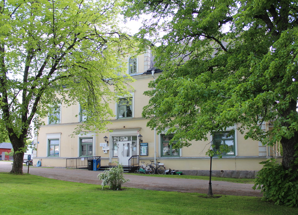
Information board Bogen's church

  • Municipality: Arvika
  • 6527.26 km away from you

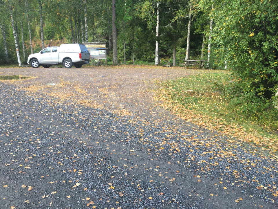
Behind the congregational house next to the parking area, is the start of the connecting stage of Finnvägen from Bogen's church up to Prästgårdshöjden, where you can continue on Finnvägen to the south towards Fredros or to the north where Finnvägen connects…
Information

Information board Lafallhöjden

  • Municipality: Arvika
  • 6535.79 km away from you

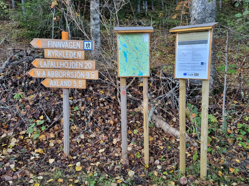
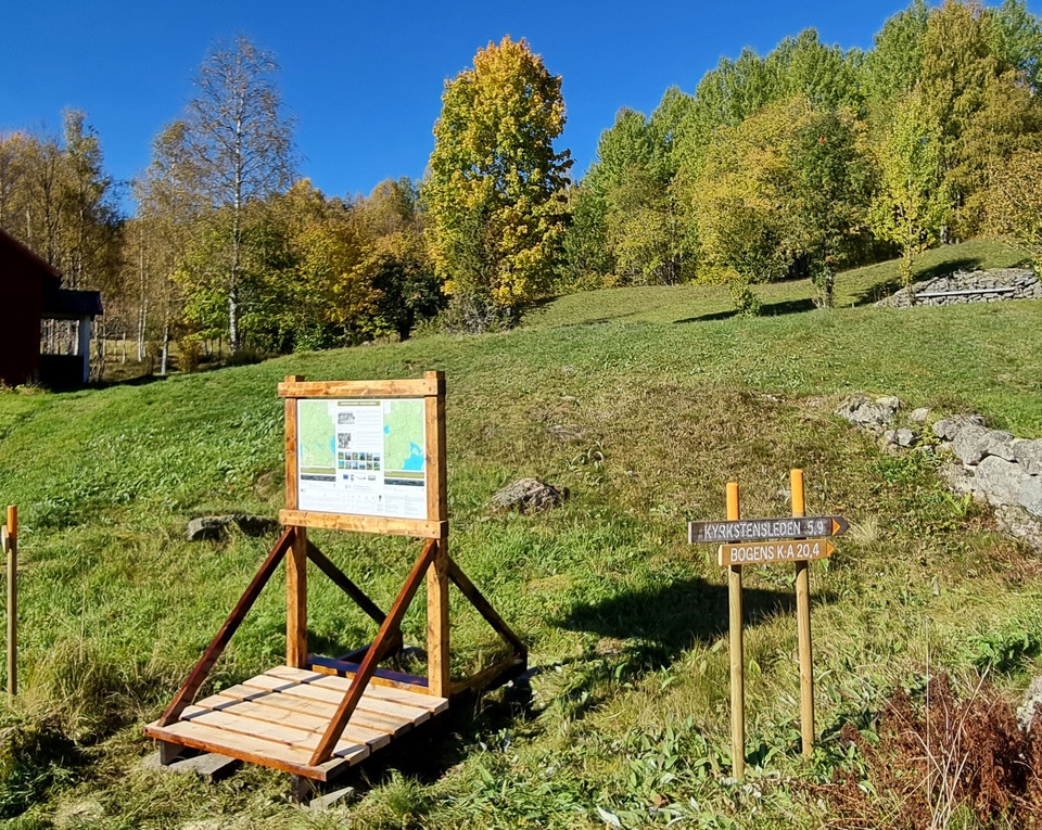
Information board at the trail entry of Kyrkstensleden. You will also find information about the trail Norra Gunnarskogsleden, which passes by Lafallhöjden.

Information

Information board Larstomta

  • Municipality: Arvika
  • 6540.69 km away from you

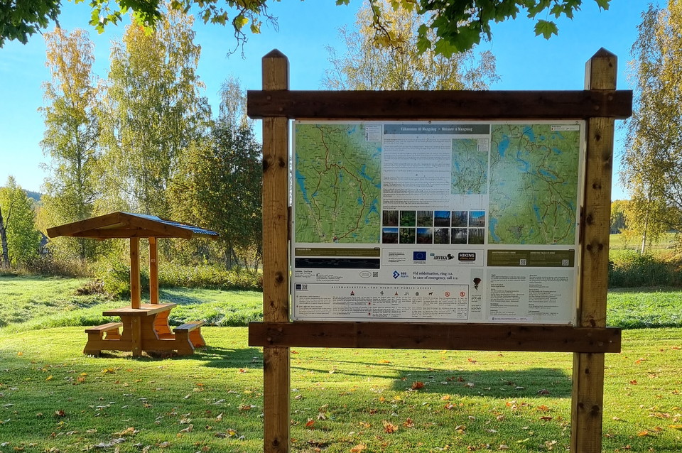
Behind Larstomta there is an information board on the wall of the red wooden building. This is the start of Södra and Norra Gunnarskogsleden. Both are certified HIKING och BIKING trails.

Naturkartan

Open this in the app