Värmlands län

Information

Karte

300 Information

Information

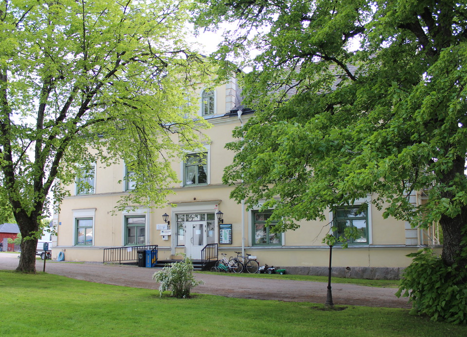
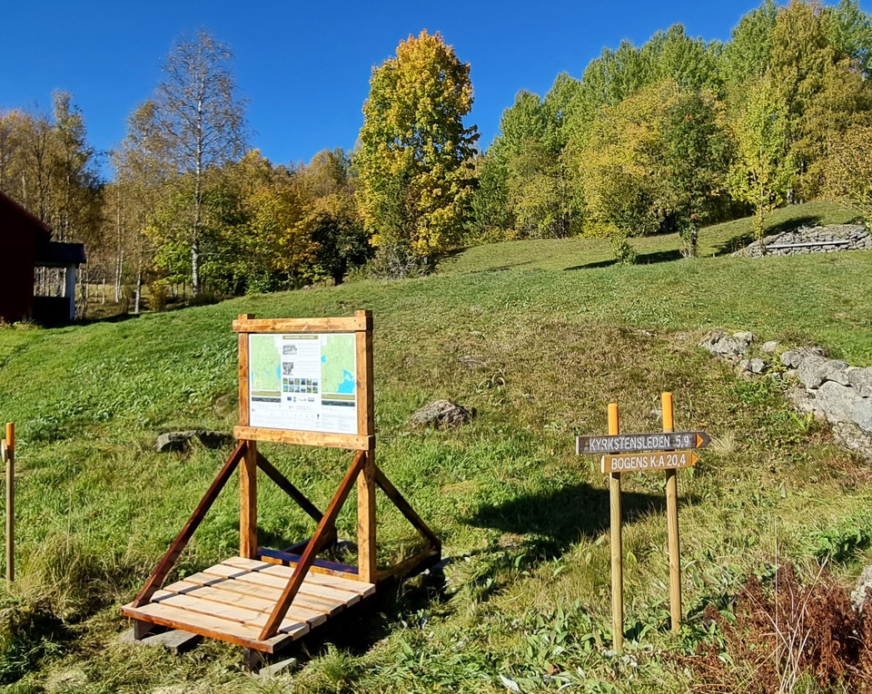
Informationstavla Bogens kyrka

  • Gemeinde: Arvika
  • 6527.26 km von Ihnen entfernt

Hinter dem Pfarrhaus auf dem Parkplatz beginnt der Eingangsweg von der Kirche Bogen bis zum Prästgårdhöjden, wo man Finnvägen nach Süden in Richtung Fredros oder Norden, mit Fortsetzung in Finnskogleden und Mitandersfors.
Information

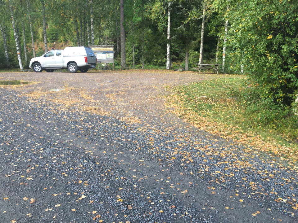
Informationstavla Lafallhöjden

  • Gemeinde: Arvika
  • 6535.79 km von Ihnen entfernt

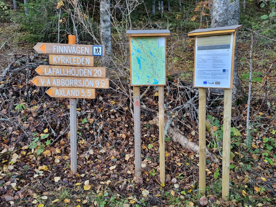
Information board at the trail entry of Kyrkstensleden. You will also find information about the trail Norra Gunnarskogsleden, which passes by Lafallhöjden.

Information

Informationstavla Larstomta

  • Gemeinde: Arvika
  • 6540.69 km von Ihnen entfernt

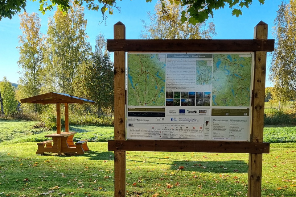
Behind Larstomta there is an information board on the wall of the red wooden building. This is the start of Södra and Norra Gunnarskogsleden. Both are certified HIKING och BIKING trails.

Naturkartan

Öffne dies in der App.