
ARK56
Connected coastal trails in a UNESCO biosphere ...

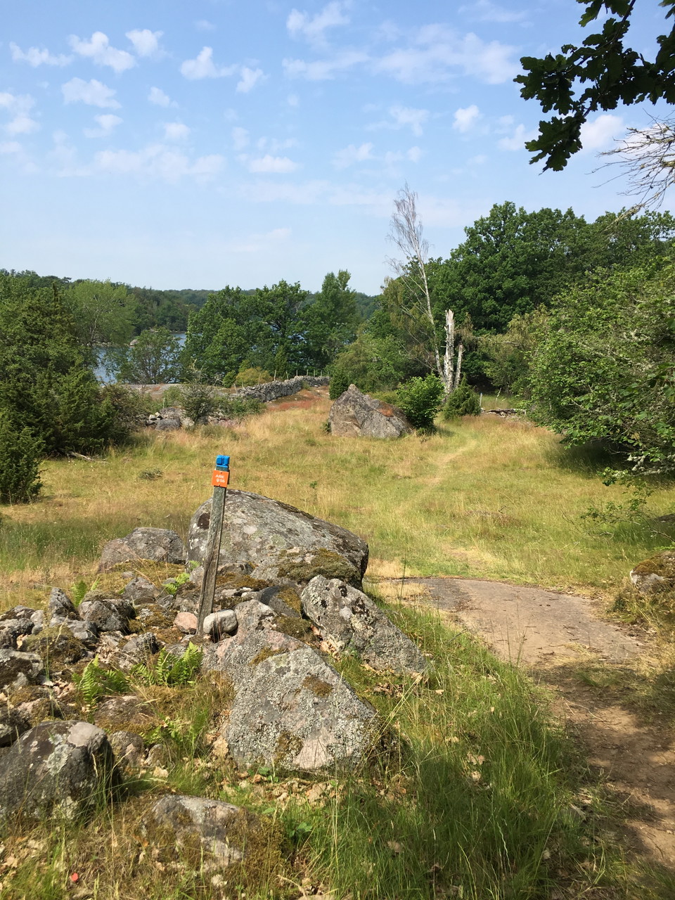
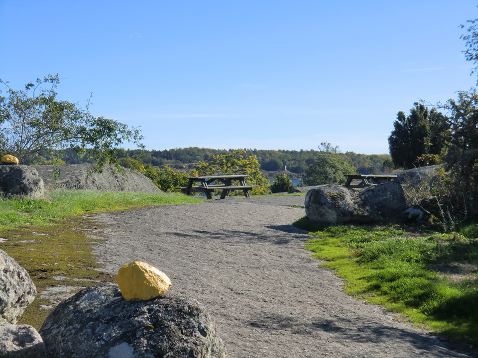
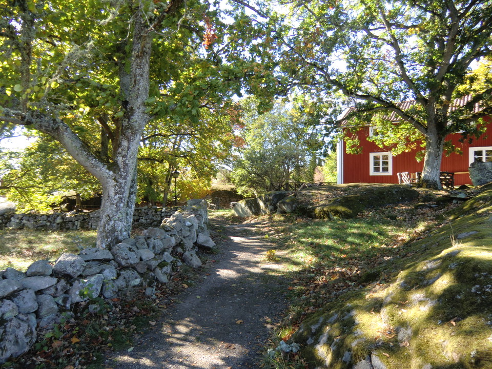
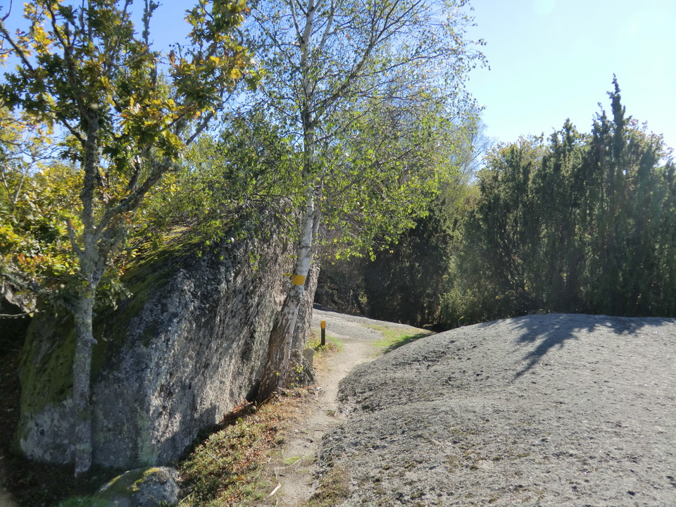
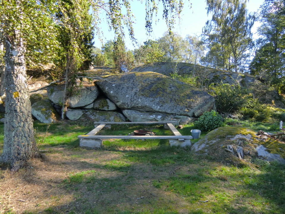
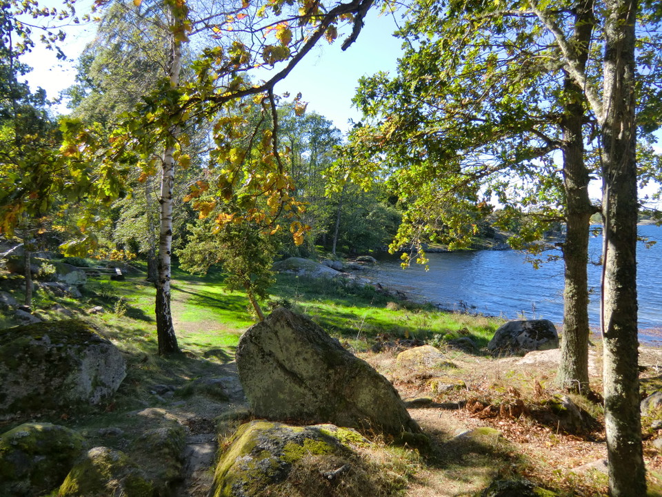
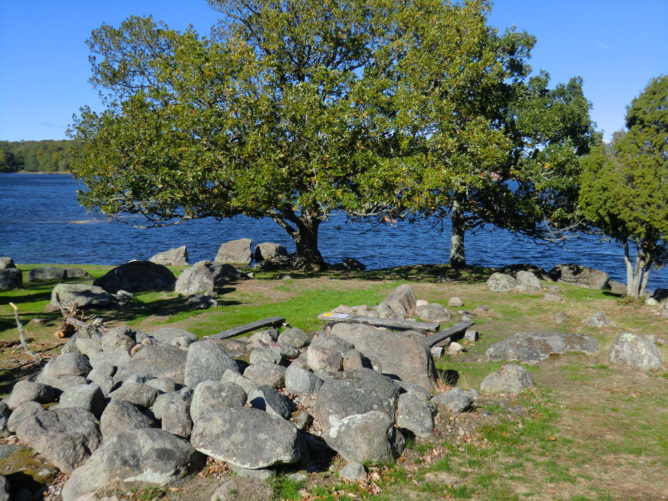
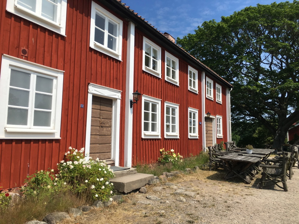
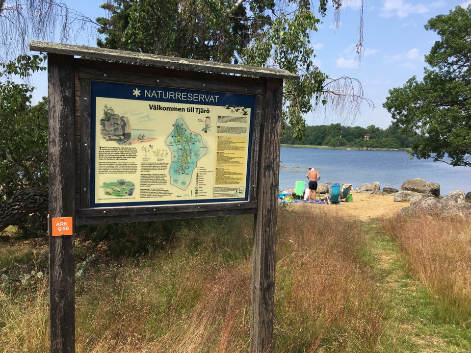
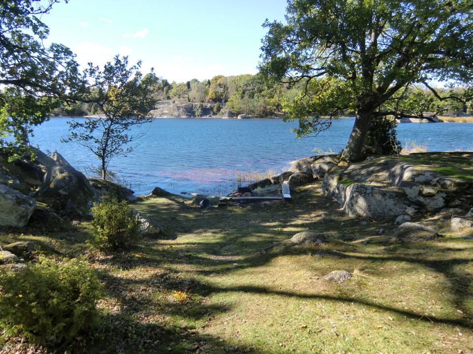
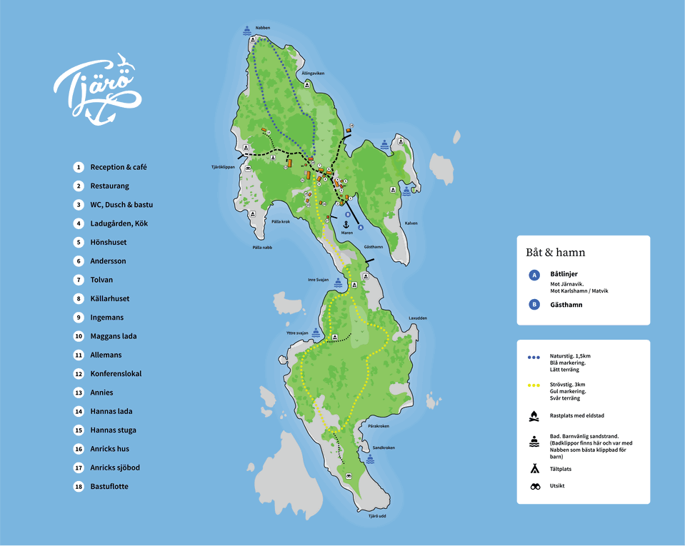
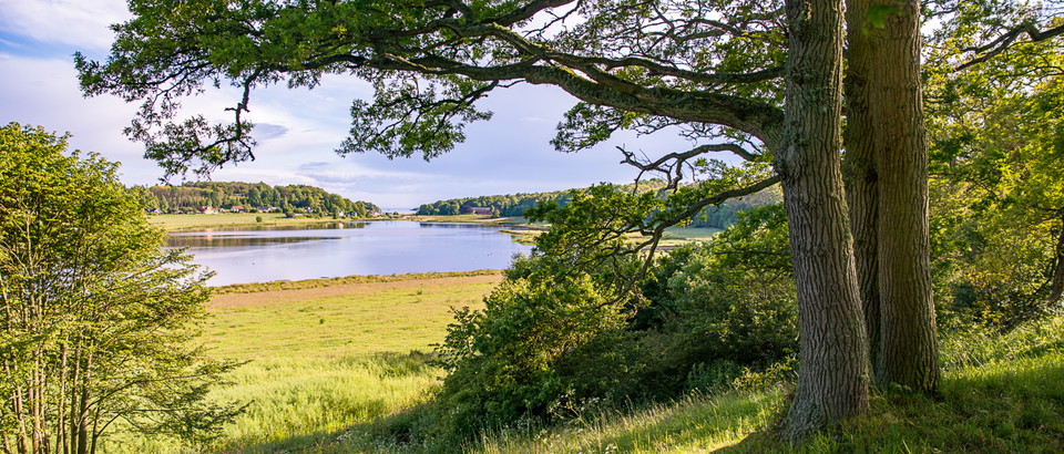
Tjärö is a nature reserve in a beautiful landscape. There is a restaurant and café, and accommodation too if you want to stay the night.
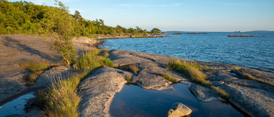
The walk runs through woodland along the rocky shoreline. There are plenty of places to stop or light a barbecue along the trails. Toilets and waste collection sites are near the café.
The trail is marked in yellow for the “Strövstigen” path in the south of the island and in blue for the “Naturstigen” loop in the north of the island.
Minor path. Not handicapped accessible, sometimes steep over the rocks.
Länsstyrelsen Blekinge

Please be aware that some of these texts have been automatically translated.




Ask a question to other Naturkartan users.
0 reviews
No user images yet. Be the first to share!