

The Iron Trail
- Hiking
- Running
- Riding
- Near parking
- Near Public Transport
- County: Värmlands län
- 6638.28 km away from you
Trail details
- Length 30.0 km
- Difficulty Blue — medium
Actions
Description
Activities And Facilities
- Running
- Hiking
- Riding
Accessibility
- Near parking
- Near Public Transport
Facts
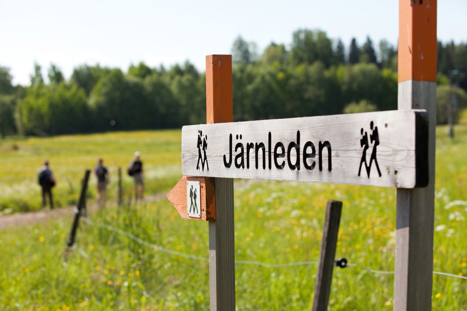
The Iron Trail is a quality assured Värmland trail and takes you through historical terrain between Hytte and the guest marina in Kristinehamn. You can choose to hike shorter sections or the whole way. The trail is marked and can be hiked without a map, but we do recommend a map for more details and an easier hike.
QUALITY ASSURED VÄRMLAND TRAIL
The Iron Trail (Järnleden) is one of many quality assured trails in Värmland. It fills listed requirements such as maintenance, information in English, Swedish and German, easy to follow trail markings and contracts with landowners.
Gradings:
Easy: The trail goes on land that is generally flat or with gentle rises only. Trail surface is even, without
steps or rocky areas. Footbridges are passable with prams.
Moderate: Good accessibility. All or parts of the walk are on nature trails. Gradients are not a problem for a person with normal fitness.
Difficult: Limited accessibility due to steep sections
and higher gradients that require good fitness.
Surface
VARIED LANDSCAPE
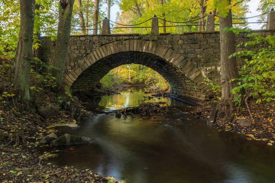
The trail passes through a varied landscape past lakes and bogs, through woodland, grazing pastures and along old gravel pathways. You’ll pass through forests with pine trees and deciduous forests, both old and young, remnants of iron mills, charcoal huts, an ancient fort and a manor house and chapel – still existing. You’ll see birds, butterflies, deer, squirrels and probably signs of beaver, fox, moose, and other animals. You are allowed to pick flowers, berries, and mushrooms along the way.
Vegetation
You walk in a varied landscape with small lakes, ponds, marshes, streams, forests, pastures and roads.
The forest consists mostly of coniferous forest with some deciduous trees, both tall forest and young forest.
Parking
Parking is available at Kristinehamn's guest harbor, Kristinehamn Art Museum, Gustafsvik Manor Park, GoKarten, Niklasdamm, Bergsjötorp and Hytte.
Communications
Take bus 400 to/from Kristinehamn travel center from/to the bus stops Spjutbäcken, Hedbotten, Sjöändan or Södra Nässundet.
From Spjutbäcken you can get to the Älvbron stage, from Hedbotten you can get to the Niklasdamm stage, from Sjöändan you can get to the Bergsjötorp stage and from Södra Nässundet you can get to the Hytte stage.
You can also take a taxi to and from Järnleden, in Kristinehamn it is Svergietaxi.
Directions
HOW TO GET THERE
There is bus service on RV26 that can take you to a stop close to the starting points Hytte, Bergsjötorp and Älvbron. Hiking south you can get off the trail and catch a bus from Bergsjötorpet, Niklasdamm or Älvbron.
You can also use a taxi.
Or start from Kristinehamn and hike north. At Älvbron, Niklasdamm, Bergsjötorpet and Hytte you can take the bus or a taxi back to town.
Bus 400 from Kristinehamn to the Iron Trail: the bus starts at Kristinehamns resecentrum (busand train station) bus stops are Spjutbäcken, Hedbotten, Sjöändan or Södra Nässundet.
Bus 400 from the Iron Trail to Kristinehamn: bus stops Spjutbäcken, Hedbotten, Sjöändan or Södra Nässundet to Kristinehamns resecentrum (bus- and train). Payment with credit card or an app: varmlandstrafik.se
Your own car: park at any of the parking spots
Taxi: Sverigetaxi +46 (0) 550 - 150 45
DISTANCES FROM THE BUS STOP
Södra Nässundet - Hytte: Walk back along RV26, take right, follow signs. (200 m)
Sjöändan - Bersjötorpet: Cross the RV26. Follow the signs. (1,4 km)
Hedbotten - Niklasdamm: Cross the RV26. Follow the paved road and signs for Niklasdams café. (3,3
km)
Spjutbäcken - Älvbron: Cross the RV26. Walk along gravel road and follow signs. (1 km)
Contact
Address
+46 (0)550 88187
Email address
Kristinehamns turistbyrå
Organization logotype

Please be aware that some of these texts have been automatically translated.
I’ve been here 6


I want to go here 17



Reviews
—
1 review
- 5 :
- 4 :
- 3 :
- 2 :
- 1 :
Questions & Answers
Ask a question to other Naturkartan users.
Users images
Share your photos of the place!





vill till Järnleden