
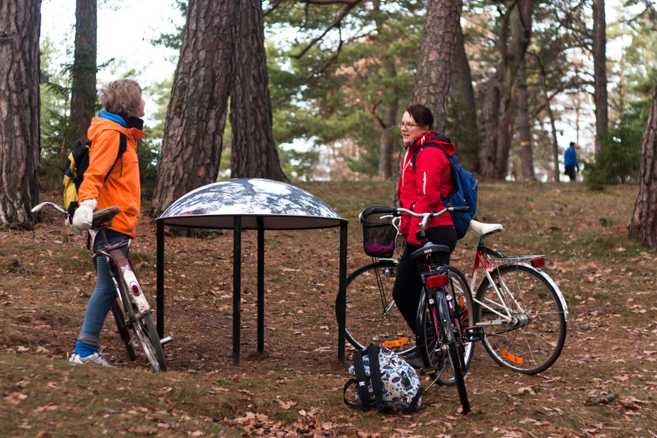
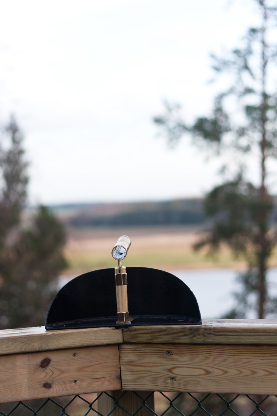
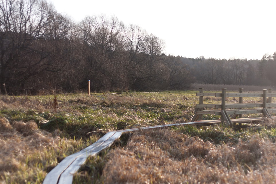
Linnéstig Ultunavandringen, 7 km
- Hiking
- Near parking
- Near Public Transport
- County: Uppsala län
- 6786.50 km away from you
Trail details
- Length 7.0 km
Actions
Description
Activities And Facilities
- Hiking
Accessibility
- Near parking
- Near Public Transport
Surface
Hilly path and walkways.
Parking
Near the start there is parking at Svandamshallarna and at Sjukhusområdet. At the end, the nearest parking is at the end of Holmvägen, in Sunnersta. The distance between the parking lot and the end of the trail is just over 200 m.
Communications
The bus stop closest to the start is called Svandammen. At the end of the path there is a bus stop Holmvägen, less than 1 km away along Dag Hammarskjölds väg.
Directions
The Ultuna walk starts on the west side of Sjukhusvägen, opposite Svandamshallarna, and goes through Stadsträdgården and further up Kronåsen. It ends at Fyrisån on the outskirts of Sunnersta, near Liljekonvaljeholmen.
Contact
Email address
Upplandsstiftelsen
Organization logotype

Please be aware that some of these texts have been automatically translated.
I’ve been here 25









I want to go here 38




Reviews
—
1 review
- 5 :
- 4 :
- 3 :
- 2 :
- 1 :
Questions & Answers
Ask a question to other Naturkartan users.
Users images
Share your photos of the place!

superfin vandringsled!!! var dock översvämning sista delen så det var lite trist. Men fin utsiktsplats och kul blandning mellan natur och bebyggelse. rekommenderar starkt!