
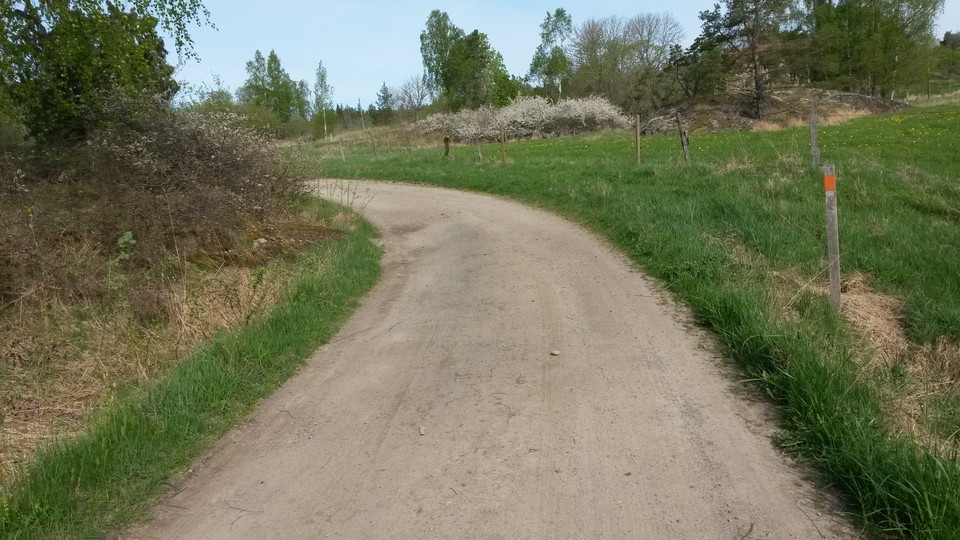
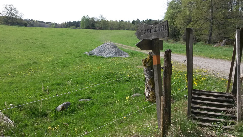
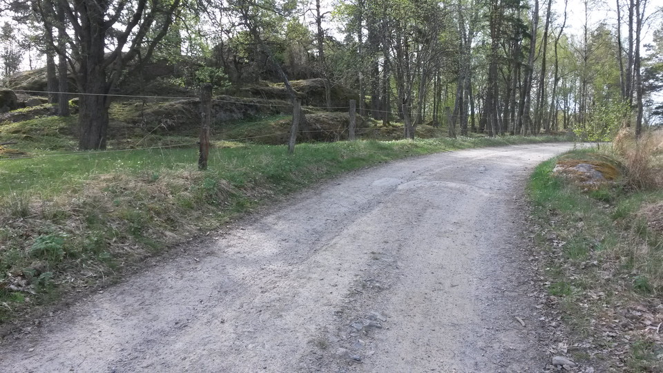
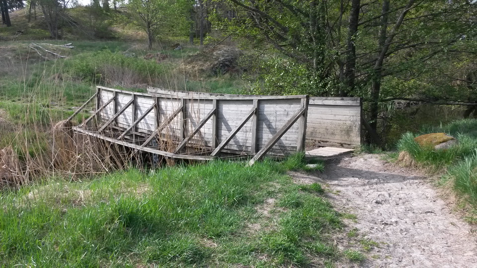
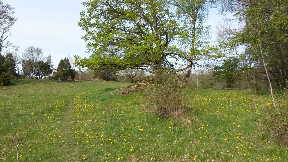
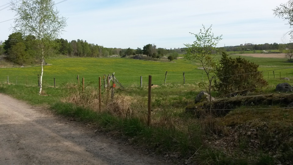
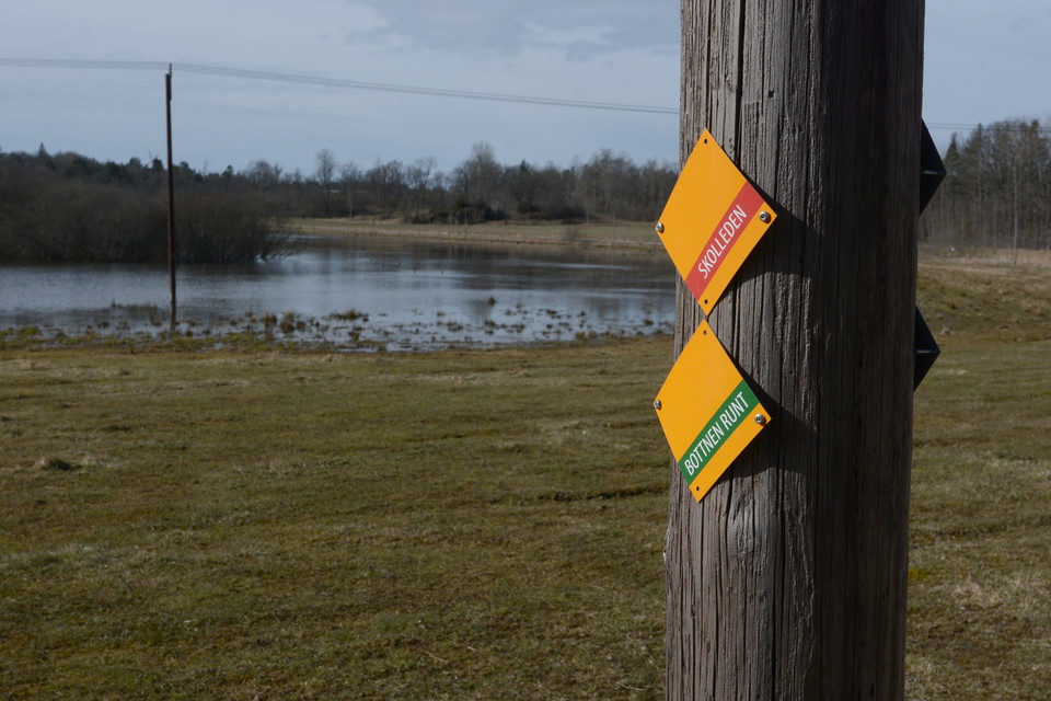
Vandringsled Skolleden 4,7 km
- Hiking
- County: Stockholms län
- 6842.50 km away from you
Trail details
- Length 4.7 km
- Time 1 h 10 min
- Difficulty Green — simple
Actions
Description
Activities And Facilities
- Hiking
Downloads
Contact
Address
Har du frågor om vår natur och våra naturvårdsområden maila till kommunens servicecenter
Email address
Huddinge kommun Servicecenter
Organization logotype

Please be aware that some of these texts have been automatically translated.
I’ve been here 17











I want to go here 33




Reviews
4.1
3 reviews
- 5 :
- 4 :
- 3 :
- 2 :
- 1 :
Questions & Answers
Ask a question to other Naturkartan users.
Users images
Share your photos of the place!


vackert att gå längs skolleden. Ger en känsla hur barnen hade det.