
Vandringsled Skolleden 4,7 km
- Hiking
- County: Stockholms län
- 6842.50 km away from you
Trail details
- Length 4.7 km
- Time 1 h 10 min
- Difficulty Green - simple
Actions
Description
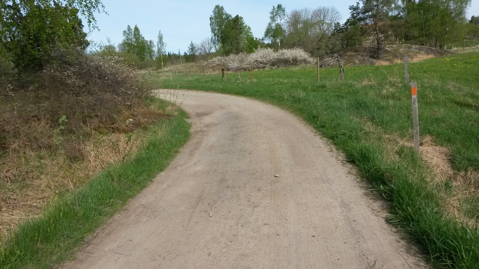
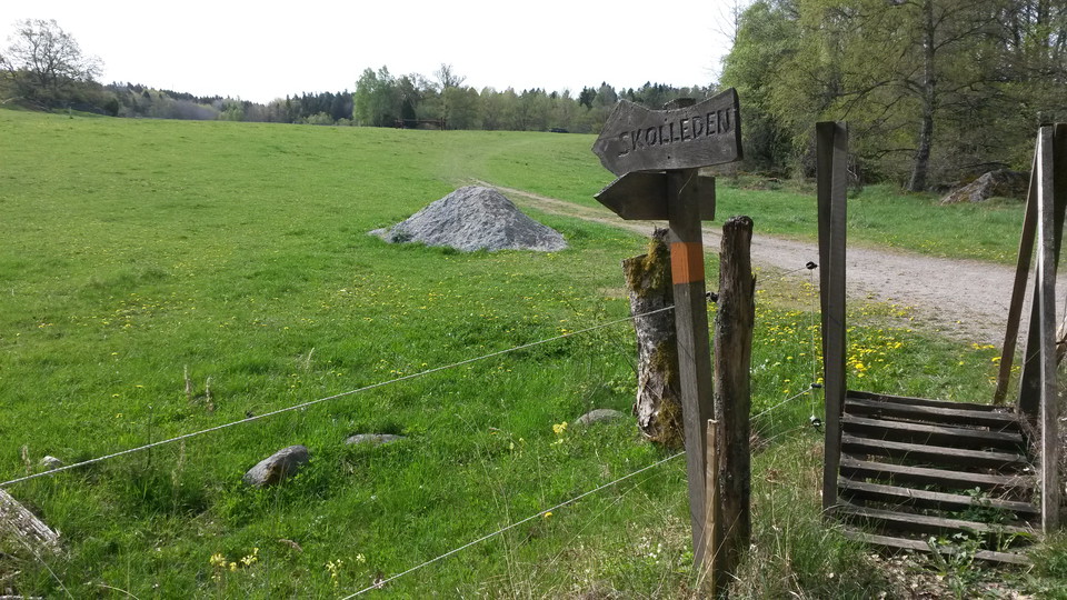
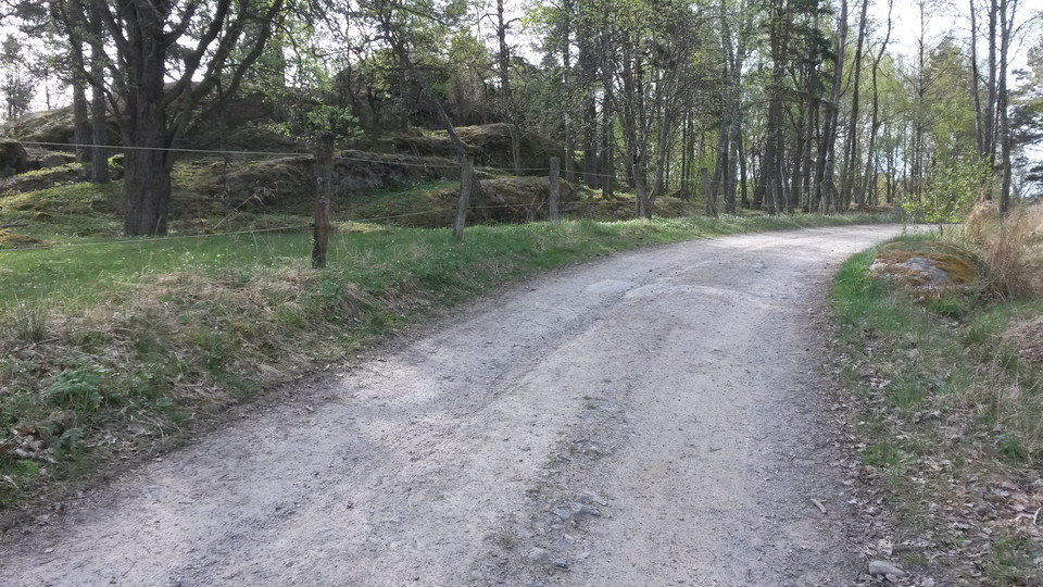
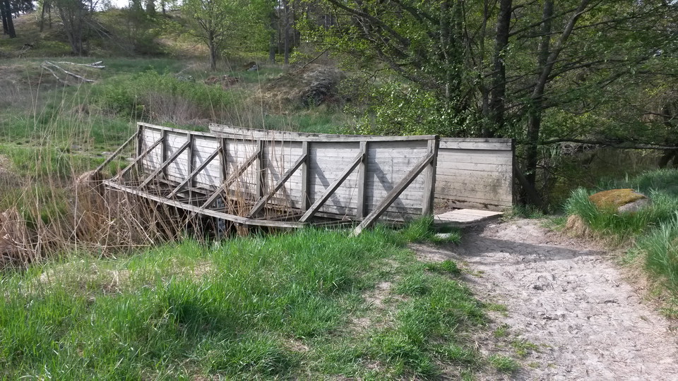
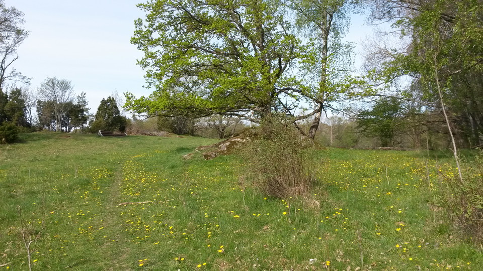
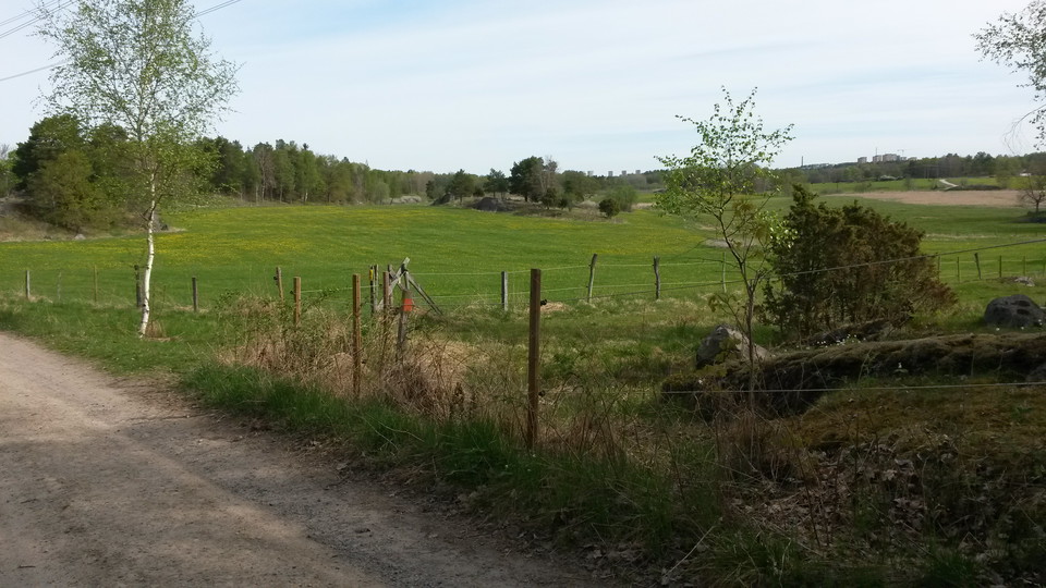
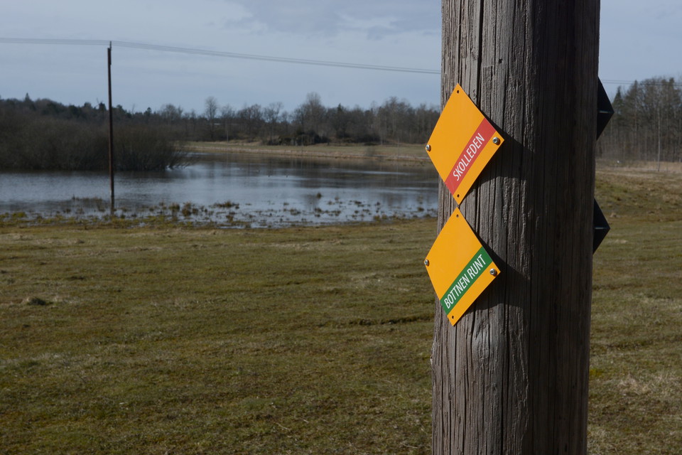
Skolleden is the route that children took to Balingsta school in the 1930s. Skolleden is marked with orange markings that are supplemented with signs with the text "Skolleden". The trail runs through species-rich pastures, avenues, past old crofts and through an old-fashioned farmstead. The trail is mostly easily accessible on gravel roads and paths. Northeast of Fräkenbotten, however, Skolleden runs through woodland.
Activities And Facilities
- Hiking
Downloads
Contact
Address
Har du frågor om vår natur och våra naturvårdsområden maila till kommunens servicecenter
Email address
Huddinge kommun Servicecenter
Organization logotype

Please be aware that some of these texts have been automatically translated.
I’ve been here 17











I want to go here 32




Questions & Answers
Ask a question to other Naturkartan users.
Reviews
Users images
No user images yet. Be the first to share!


vackert att gå längs skolleden. Ger en känsla hur barnen hade det.