
-
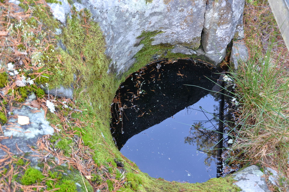
Jättegryta -

-
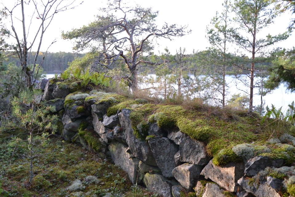
Gamla skyttevärn
Jättegrytorna vid Kättiltäppan
- Attraction
- County: Östergötlands län
- 6842.68 km away from you
Actions
Description
Almost directly adjacent to the shelter and barbecue area there are several potholes by the trail. The largest one is right next to the trail and is very deep.
Potholes were formed during the ice age, when loose stones or boulders followed the meltwater under the glacier. When they became wedged in pits or crevasses, the flowing water caused them to rotate, thus turning the pots.
Giant pots are found in several places in the country. Large numbers are found in Bohuslän, Blekinge and the Stockholm area. Along the Östgötaleden trail in Valdemarsvik municipality you can see another pot. It is located west of the farm Stockebäck, just after where the trail crosses road E22.
At Kättiltäppan you come across the first and also the largest pot just a few meters after the stairs leading up the mountain to the north. As it is very deep, it has been fenced off for safety reasons. The others are much smaller, but still clear reminders of the time when the area was covered by kilometers of ice.
Source: Valdemarsvik municipality 2023
Activities And Facilities
- Attraction
Contact
Address
Välkommen till Östgötaleden, 150 mils vandring i Östergötland!
Email address
Kontakt Östgötaleden
Organization logotype

Please be aware that some of these texts have been automatically translated.
I’ve been here
I want to go here
Questions & Answers
Ask a question to other Naturkartan users.
Reviews
0 reviews
- 5 :
- 4 :
- 3 :
- 2 :
- 1 :
Users images
No user images yet. Be the first to share!
