
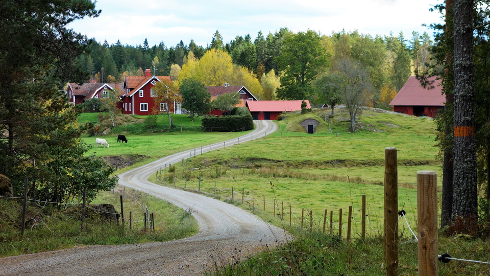

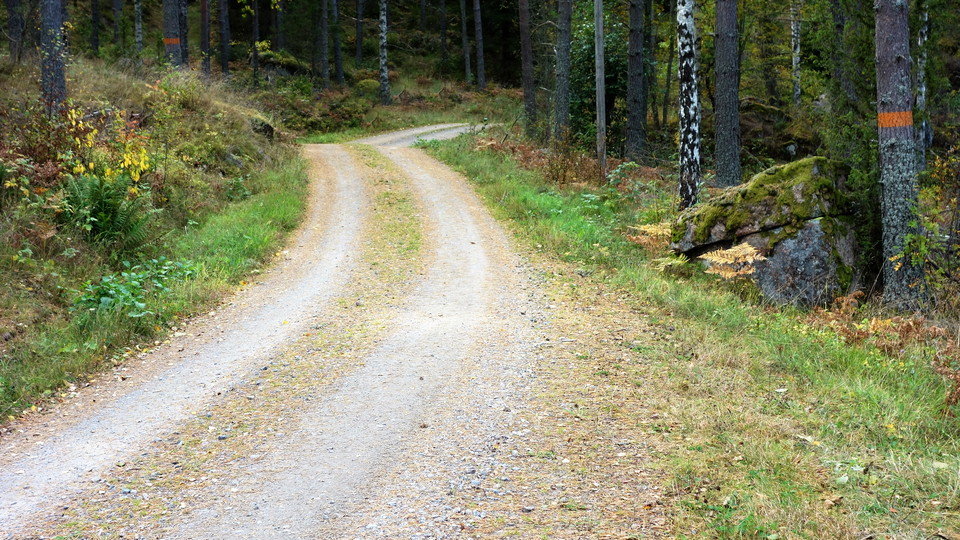
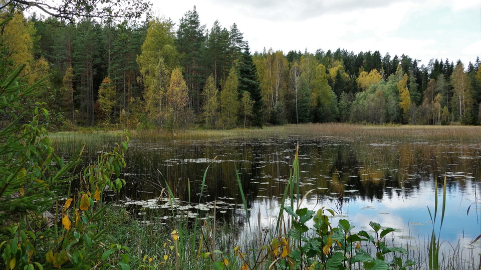
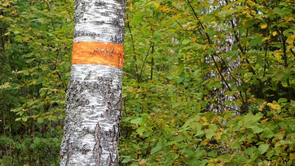
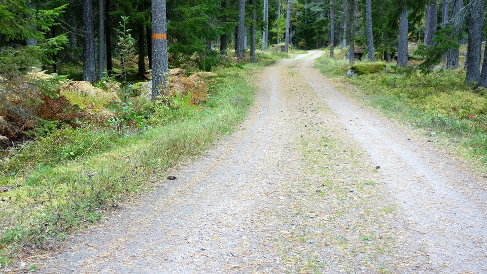
Drögenslingan, Östgötaleden
- Circular trail
- Hiking
- County: Östergötlands län
- 6773.62 km away from you
Trail details
- Length 12.0 km
Actions
Description
Activities And Facilities
- Hiking
- Circular trail
Directions
Drive county road 609 south from Vikingstad towards Nykil and Ulrika. Continue straight ahead at Ulrika church and then turn right towards Sjövik. 350 meters into the gravel road there is a parking lot with an information sign about Östgötaleden.
Downloads
Contact
Address
Välkommen till Östgötaleden, 150 mils vandring i Östergötland!
Email address
Kontakt Östgötaleden
Organization logotype

Please be aware that some of these texts have been automatically translated.
I’ve been here 45













I want to go here 79















Reviews
—
7 reviews
- 5 :
- 4 :
- 3 :
- 2 :
- 1 :
Questions & Answers
Ask a question to other Naturkartan users.
Users images
Share your photos of the place!

Lättvandrad slinga, bra markerad. Fin rastplats vid dragen annars uteblir naturupplevelserna tyvärr. mycket grusvägar och det kändes sällan som man kom nära in på naturen.