


Stage 10 ÅNNABODA – SUTTARBODA
- Hiking
- Near Public Transport
- County: Örebro län
- 6682.16 km away from you
Trail details
- Length 7.0 km
- Time 2 h
- Difficulty Blue — medium
Actions
Description
Activities And Facilities
- Hiking
Accessibility
- Near Public Transport
Facts
Length: 7 km
Time: 2 h
Difficulty level: 2
Activities: Swimming, skiing, fishing
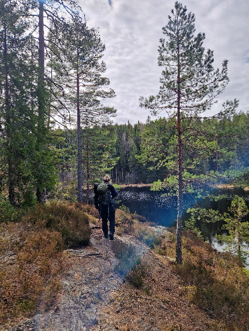
Surface: Forest road and forest path. You start the hike by crossing Ånnaboda nature reserve. Altitude: 260 m above sea level
Fresh water: In Ånnaboda there is a water tap both at the upper facility and the cottage in the parking lot. Drinking water is available in Suttarboda at the barn about 300 meters north of the rest area.
Accommodation:
Ånnaboda - Örebro | Active camping in magnificent nature (firstcamp.se)
Directions
There are buses to Ånnaboda daily, all year round. You can also book local traffic to and from Suttarboda, the nearest stop will then be Garphyttan.
https://www.lanstrafiken.se/reseplanering/flextrafik-och-nartrafik/nartrafik-i-orebro-lan/
Downloads
Contact
Email address
Johan Karlström
Organization logotype

Please be aware that some of these texts have been automatically translated.
I’ve been here 58










I want to go here 73











Reviews
—
2 reviews
- 5 :
- 4 :
- 3 :
- 2 :
- 1 :
Questions & Answers
Ask a question to other Naturkartan users.
Users images
Share your photos of the place!


Vad kul att du gillade etappen och att du vandrar med din dotter.