
Teusajaure-Vakkotavare, The King's Trail
- Hiking
- County: Norrbottens län
- 6388.35 km away from you
Trail details
- Length 15.0 km
Actions
Description
Activities And Facilities
- Hiking
Surface
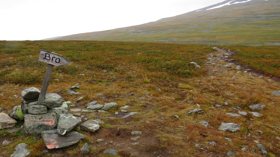
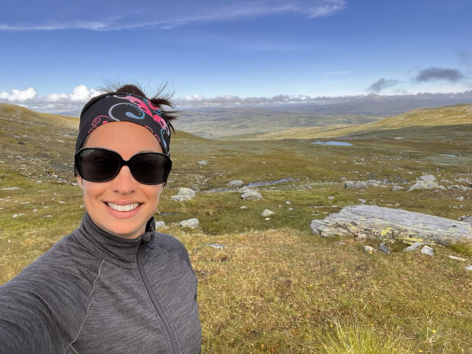
Easy hiking across grass and brush moors, except for the climb from Dievssajávri and at Vakkotavare, where the trail winds steeply.
Communications
Vakkotavare lies on the big road between Gällivare and Ritsem. There is a bus stop on the road and daily bus connections during the season. There is also a car park.
Länstrafiken Norrbotten website (bus and coach operator) Boats in the mountains (Swedish Tourist Association website)
Contact
Email address
Länsstyrelsen Norrbotten
Organization logotype
I’ve been here 32









I want to go here 62





Reviews
—
0 reviews
- 5 :
- 4 :
- 3 :
- 2 :
- 1 :
Questions & Answers
Ask a question to other Naturkartan users.
Users images
Share your photos of the place!
