Natur- och kulturstig, Ridön
- Municipality: Västerås
- 6756.34 km away from you
- 8.0 km
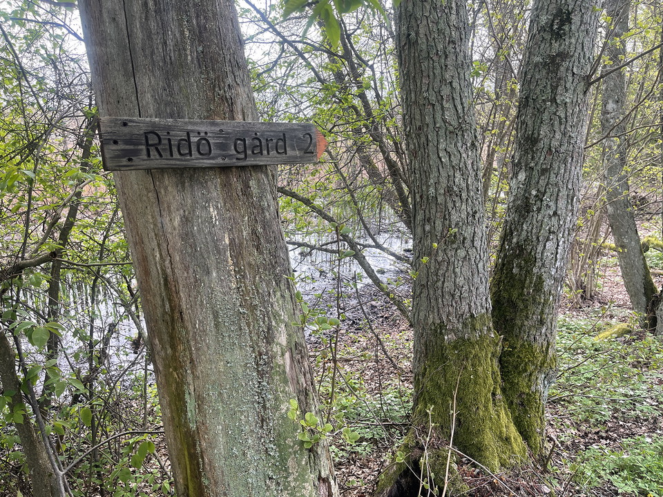
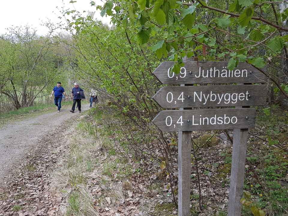
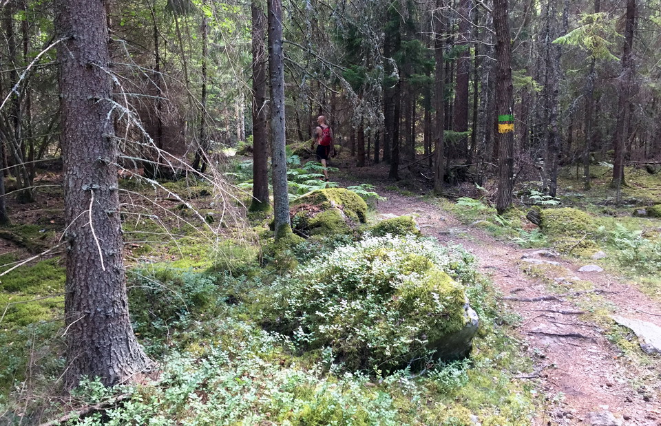
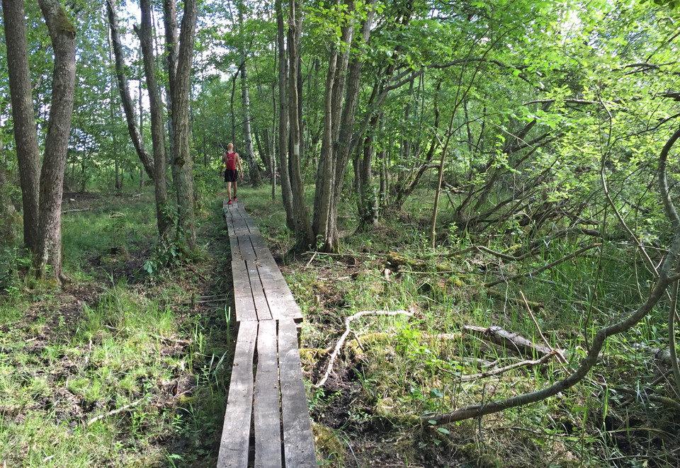
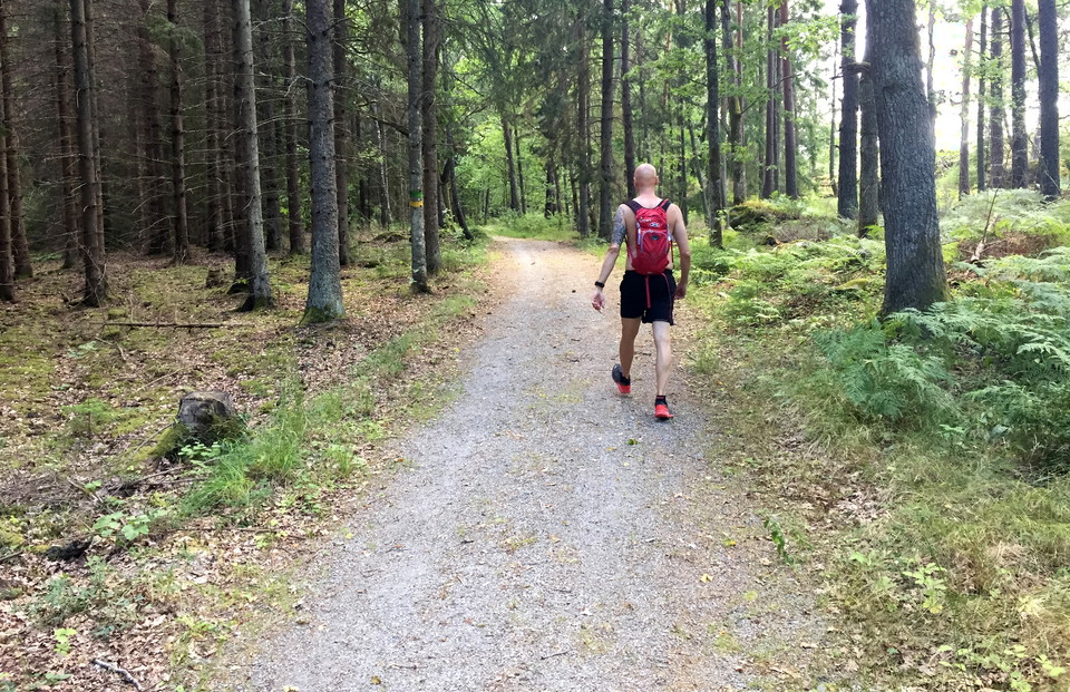
Along the trail, there are 18 information signs telling about the cultural history and nature of the island. The hiking trail is about 8 kilometers long.

Västerås
Naturkartan samlar de vandringslederna i Västerås som är populärast bland våra användare.
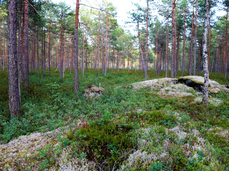
Along the trail, there are 18 information signs telling about the cultural history and nature of the island. The hiking trail is about 8 kilometers long.
The different parts of the trail are connected to the Ridön nature and culture trail, and to the small roads around the island.
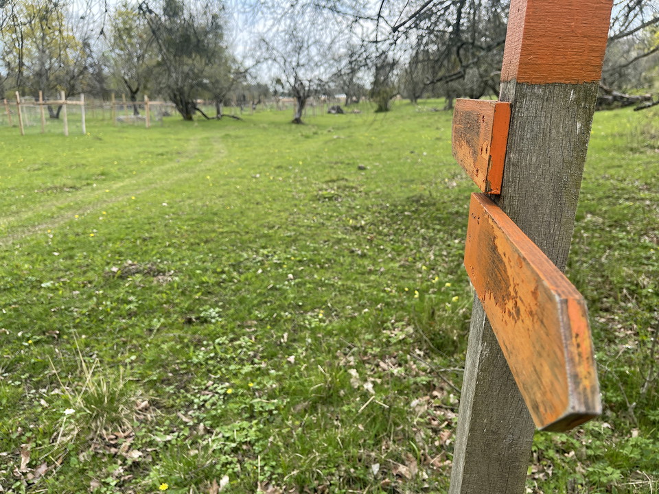
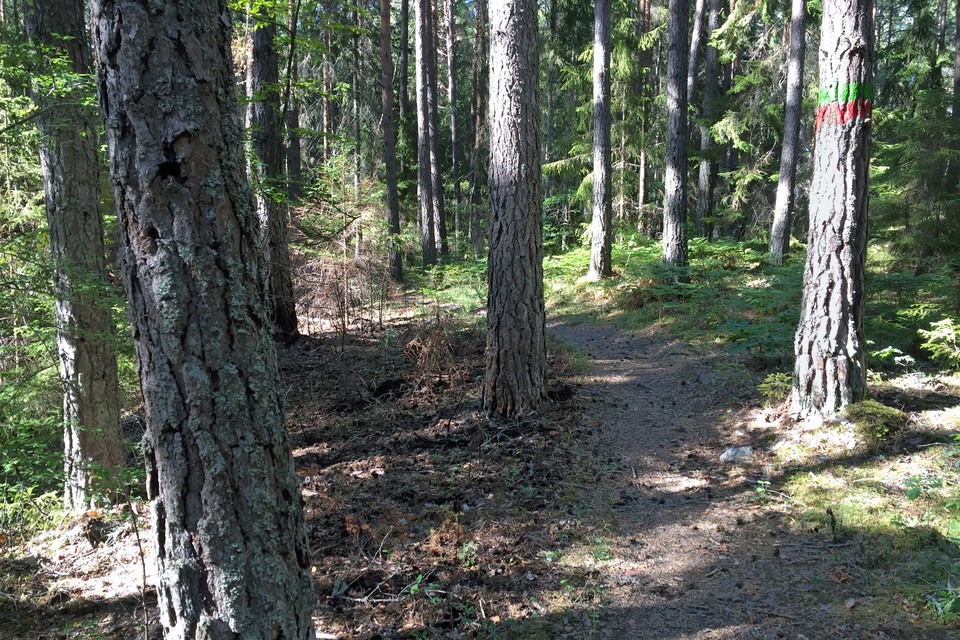
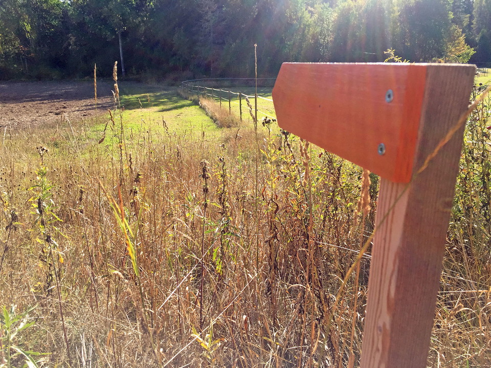
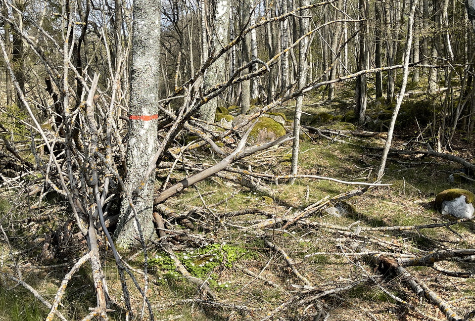
The hiking trail is marked with orange color on trees and poles. The hiking trail takes you around the entire Aggarön, an approximately 5.5 kilometer long walk. Combined with the gravel roads on the island, you can choose several shorter loops.
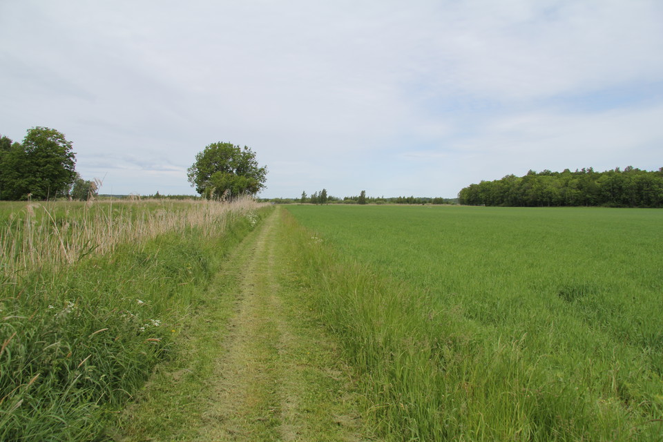
You can get from the southwest to the northeast of the island on dirt roads. It is about 2 kilometers one way. You can also choose other, shorter detours on the gravel roads. On Aggarön there is also a hiking trail on narrow forest paths if you want to walk…
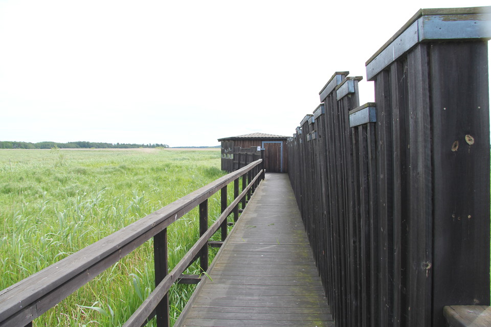
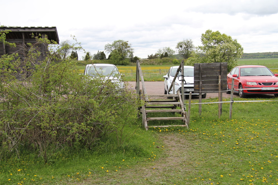
From the parking lot at Lövsta, it is 500 meters to the bird hide out in the reeds. The way there consists of a gravel road and a wide wooden walkway with railings on the sides.
From the parking lot at Askö there are two loops, Lilla Askörundan 3.3 kilometers and Stora Askörundan 6.8 kilometers. Parts of the loops are on forest paths, parts on roads and gravel paths and sometimes through pastures with grazing cows. The loops are ma…
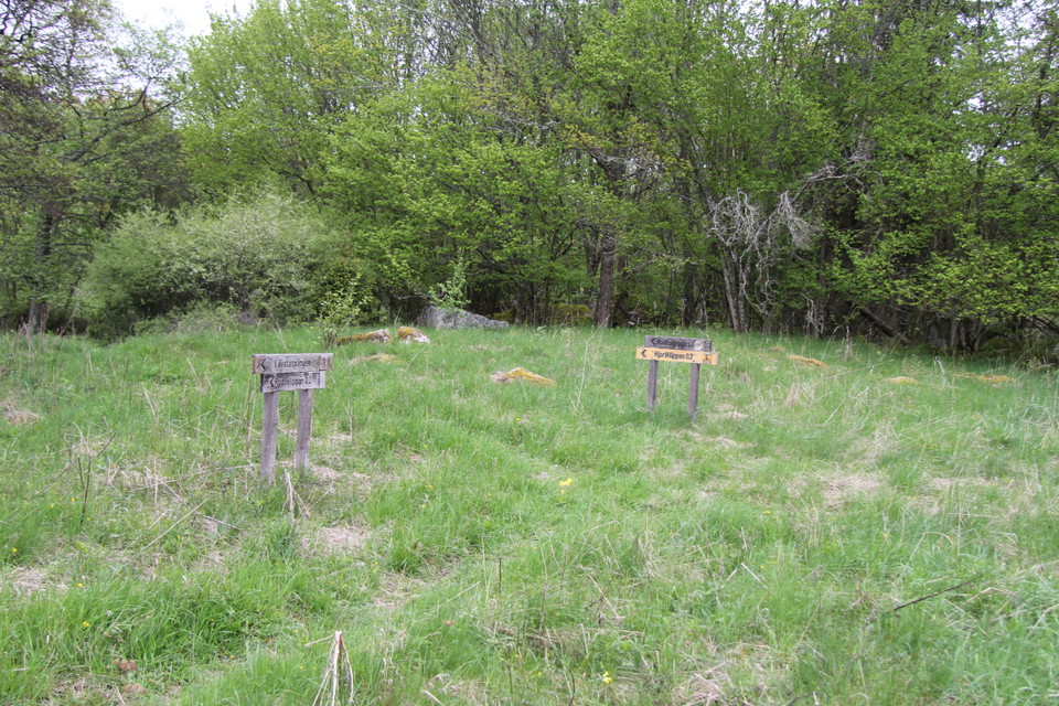
Rudöslingan is about 1.8 kilometers from the parking lot at Rudö and back. You can also choose to turn off the loop and walk to either the Hjortberget lookout mountain, or to Rudöklippan where there is also a shelter. The trail is marked in orange on trees…
The trail is 800 meters long one way, from the parking lot at Tidö Castle to a viewing platform.
The red trail is 2.9 kilometers long and goes around the northern part of the nature reserve.
The yellow trail goes around the southern part of the nature reserve. It is 5.3 kilometers long.
The green trail goes around the entire nature reserve. It is 7 kilometers long.
The blue trail leads from the parking lot to the windbreak at Snarkarbo. Here you can walk with a stroller. The path is 0.9 kilometers long.
From the parking lot, there is a path about 250 meters long that takes you to the nature reserve. In the nature reserve, there is a loop about 800 meters long. The loop is demanding in parts. You have to climb up and down hills and over boulders. Once up on…
There are many beautiful trails to hike at the Ängsö outdoor recreation area on Ängsö island. The trails start at the parking lot and can be walked in any direction and to any extent. Several of the trails connect to allow for longer treks. If you walk the…
Den magiska Mälarpromenaden är en 4 kilometer lång markerad gång-och cykelväg längs med vattnet, från Lögastrand till Lasse Färnlöfs plats. Promenaden visar Västerås sjökant med underbara restauranger och caféer längst med vägen och utsikt över Sveriges tre…
Naturkartan samlar de vandringslederna i Västerås som är populärast bland våra användare.