Best hiking trails in Berg

Berg

Naturkartan samlar de vandringslederna i Berg som är populärast bland våra användare.

Images

Map

52 Best hiking trails in Berg

Hiking

Fettjeåfallet

  • Municipality: Berg
  • 6477.49 km away from you
  • 1.7 km

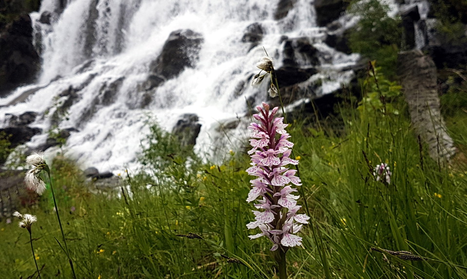
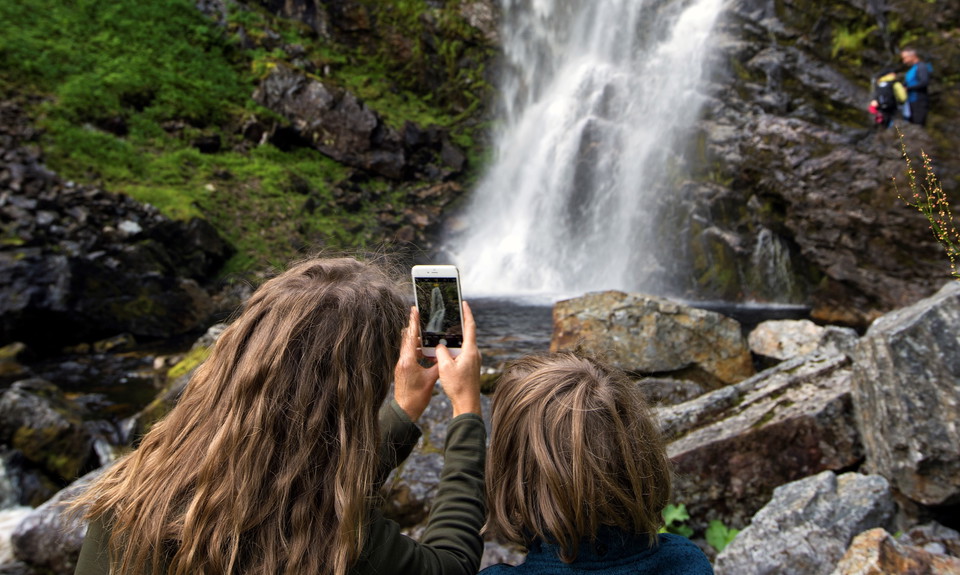
With its 60-meter drop, Fettjeåfallet is one of our country's highest waterfalls and the area's most beautiful natural scenery. The hike there along the Fettjeån river is a great family experience along paths and stone steps. From the parking lot, walk towa…

Hiking

Storhogna-Samevistet-Fallmoranfallen 7,5 km

  • Municipality: Berg
  • 6476.07 km away from you
  • 7.5 km

Turen börjar vid den stora tavlan framför Storhogna Högfjällshotell & Spa. Ta leden upp till höger mot fjället och vik sedan in på Karl XI:s väg. Det är brant i början. Efter cirka 1 kilometer tar du sommarleden mot Samevistet. Från Samevistet är det skylta…

Hiking

Hoverberget stigar

  • Municipality: Berg
  • 6476.95 km away from you
  • 7.3 km

There are several well-marked and signposted paths up the mountain and on the slopes. Some of them are steep and a bit more challenging to navigate.

Hiking

Vattenfallet Gräftåvallen

  • Municipality: Berg
  • 6445.01 km away from you
  • 2.5 km

A decent walk even for the little ones. The hike is 2.5 kilometers one way if you start at Fjällgården. Once at Vattenfallet, you can have a barbecue or eat your lunch while enjoying a fantastic view. Those who dare can also cool off in the small lagoons be…

Hiking

Rundtur Gräftåvallen

  • Municipality: Berg
  • 6443.98 km away from you
  • 15.0 km
  • 6 h

From Fjällgården in Gräftåvallen, follow the signs that say "summer trail to the mountain". The trail turns off towards the slalom slope and continues straight up towards the turning wheel. Follow the summer trail towards Arådalen. The trail is marked with…

Hiking

Vandringsled Gräftåvallen-Höglekardalen

  • Municipality: Berg
  • 6434.69 km away from you
  • 15.2 km

Proposal for a two-day hiking tour. It is 17 km one way and goes mostly over bare mountains. About halfway is Falkfångarfjället's wind shelter where it is good to have a coffee or lunch. Between Höglekardalen and the wind shelter, the path runs along the st…

Hiking

Kesufallet

  • Municipality: Berg
  • 6395.86 km away from you
  • 2.8 km

Follow Helagsleden for about 300 meters and then turn right towards Kläppvallen/Nyvallen. Along Kesuån to Kesufallet the path is well trodden. The trail goes through mountain birch forest before it reaches Kläppvallen where you follow the road back. After a…

Hiking

Pilgrimsleden

  • Municipality: Berg
  • 6387.73 km away from you
  • 13.2 km

You start your hike from "Ripans" parking in Torkilstöten, about 4 km from Ljungdalens center. Go towards Kläppen and left up towards Torkilsstöten after about two km and then take the first left up to "Ripans" parking. There is an orange-painted trail, tow…

Hiking

Hovlinsvallen-Silverfallet

  • Municipality: Berg
  • 6397.84 km away from you
  • 4.9 km

Follow the marked trail towards Silverfallet. The path goes through mountain birch forest with stately Nordic wolfsbane, tibast and many different orchids. The walk then continues over some bogs until you reach Nylandsvallens fäbod, which was in use until t…

Hiking

Hoverbergsleden

  • Municipality: Berg
  • 6476.34 km away from you
  • 9.0 km

Hoverbergsleden follows the "mountain foot" around Hoverberget. The trail partly follows the shoreline of the Centraljämtska ice lake and passes Hoverbergsgrottan, Hembygdsgården, an execution site, soldier's village and a number of other cultural-historica…

Hiking

Fäbodturen

  • Municipality: Berg
  • 6482.03 km away from you
  • 3.8 km

En fäbodtur med information om fäbodlivet i Klövsjö runt Katrinaspåret. Längs turen finns även en tipsrunda som handlar om fäbodlivet i Klövsjö. Hämta svarstalongen i receptionen vid hotell Klövsjöfjäll. Vandringsleden startar vid Klövsjöfjäll Hotell. Det f…

Hiking

46. Valskaftet - Gräftåvallen (medel)

  • Municipality: Berg
  • 6446.03 km away from you

Valskaftet is a mountain farm located below the mountain of the same name. You can reach it by hiking from Prästbodarna towards Valskaftet or from Galåbodarna/Nybodarna (no. 45 in the guide Hiking near the mountains). Valskaftrumpan is a rocky hill just bel…

Hiking

Masgrottan

  • Municipality: Berg
  • 6419.08 km away from you
  • 18.9 km

Masgrottan är precis som det hörs på namnet en grotta. Men grottan, som ligger långt ute i ödemarken, var på 1800-talet även sommarviste för en man ifrån Dalarna. Hans säng är uthuggen i sten och mitt i grottan finns en kallkälla som han själv påstod var de…

Hiking

Vandringsled Gräftåvallen-Arådalen

  • Municipality: Berg
  • 6437.16 km away from you
  • 13.7 km

A proposal for a tour with two overnight stays. Where you start and end is up to you. The tour between Gräftåvallen and Arådalen is 21 km and goes mostly over the bare mountain. From Arådalen to Höglekardalen it is 19 km of mixed bare mountain and mountain…

Hiking

Vandringsled Arådalen-Höglekardalen

  • Municipality: Berg
  • 6432.63 km away from you
  • 19.4 km

A proposal for a tour with two overnight stays. Where you start and end is up to you. The tour between Gräftåvallen and Arådalen is 21 km and goes mostly over the bare mountain. From Arådalen to Höglekardalen it is 19 km of mixed bare mountain and mountain…

Best hiking trails in Berg

Naturkartan samlar de vandringslederna i Berg som är populärast bland våra användare.

Naturkartan

Open this in the app