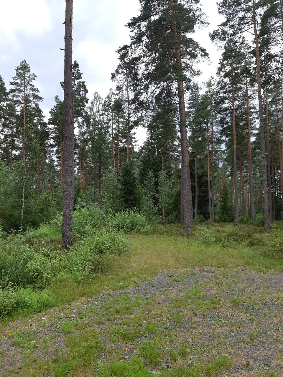
• Där grusvägen tar slut och slingan viker av på en skogsstig
    Där grusvägen tar slut och slingan viker av på en skogsstig

The south trail

  • Running
  • Walking
  • Mountainbiking
  • Riding
of 5 stars

Trail details

  • Length 1.0 km
  • Difficulty Green — simple

Actions

  • Directions

Description

If you want some variation to your walk or run can you take this little extra round. Begin with walking or running half of the lighted trail (counterclockwise) and then turn left onto a small gravel road. Follow that road until it ends and then turn left onto a smaller path. Follow that path until you're back on the gravel road. Follow that road back to the lighted trail.

The trail is about 1 km and can be combined with the lighted trail for a round that’s in total 3 km. It can also be combined with the north trail and then you get a total of 4,7 km in variating terrain.

Weather forecast (at 12:00)

Loading…

Get here by public transport

Activities And Facilities

  • Walking
  • Mountainbiking
  • Running
  • Riding

Facts

This trail doesn’t have any markings so use the app to follow it. On some parts can the terrain be bit difficult with high grass. Good shoes and trousers are recommended.

Contact

Email address

Kultur- och fritidsavdelningen i Uppvidinge kommun

I’ve been here

I want to go here

Reviews

—

0 reviews

of 5 stars

5 :
0.0%
4 :
0.0%
3 :
0.0%
2 :
0.0%
1 :
0.0%

Questions & Answers

Ask a question to other Naturkartan users.

Users images

Share your photos of the place!

Naturkartan

Open this in the app