
Tjuvanabbenspåret
- Hiking
- County: Jönköpings län
- 6721.07 km away from you
Trail details
- Length 4.4 km
Actions
Description
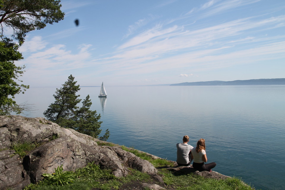
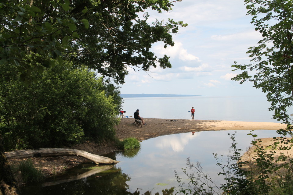
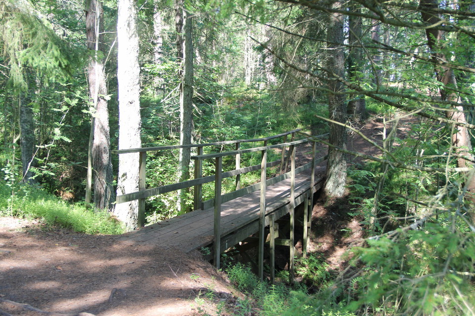
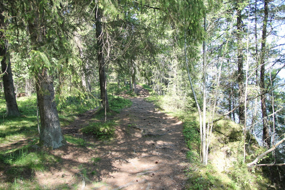
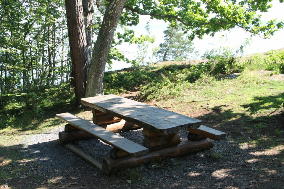
Between Sjöåkra and Berghalla in Bankeryd stretches a walkable forest area along Lake Vättern. The varied mixed coniferous forest lies below the mountain ridge and the railroad, on a wide moraine shelf that goes all the way to the lake. Tjuvanabben is a protruding cliff with bare rocks just north of Berghalla. From here you have a fine view of the southern part of Lake Vättern. On footbridges and bridges you walk over a couple of small streams that flow into Lake Vättern. From Tjuvanabben back to Sjöåkra, follow the old coastal road along the western shore of Lake Vättern.
Length: 4.5 km. Trail markings: Follow the Lillåleden markings

Activities And Facilities
- Hiking
Facts
4.4 kilometers
Contact
Address
Kontakta oss om du har frågor om Jönköpings natur och friluftsliv.
Email address
Organization logotype

Please be aware that some of these texts have been automatically translated.
I’ve been here 4


I want to go here 15
Questions & Answers
Ask a question to other Naturkartan users.
Reviews
0 reviews
- 5 :
- 4 :
- 3 :
- 2 :
- 1 :
Users images
No user images yet. Be the first to share!
