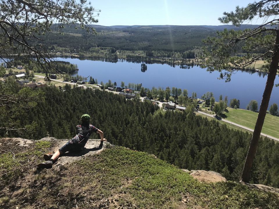
• Utsikt från Stuguberget.
    Utsikt från Stuguberget.
    Photo: Foto: Elin Roos Högberg
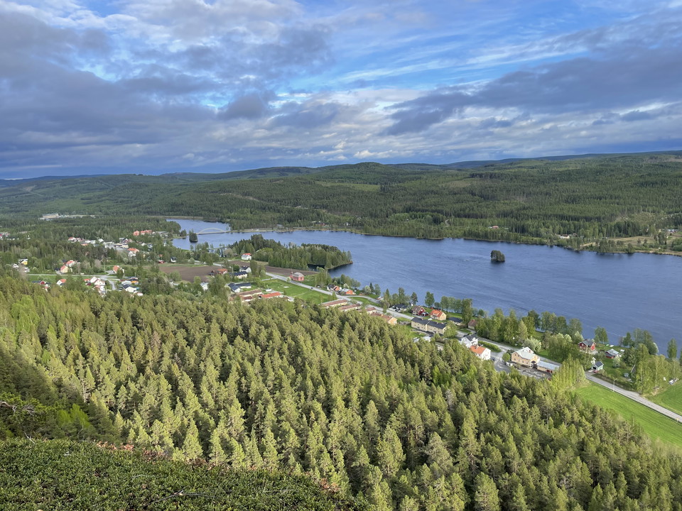
  • Utsikt över Stugun
    Utsikt över Stugun
    Photo: Foto: Elin Roos Högberg

Vandringsled Stugubergetleden

  • Hiking
  • Walking
  • Running
  • Circular trail
of 5 stars

Trail details

  • Length 4.9 km
  • Difficulty Blue — medium

Actions

  • Directions

Description

The Stuguberg trail starts and ends at the homestead. Once at the top, you are treated to a fantastic view of the Stugu area!

  • Starting point: Hembygdsgården, Stugun. Follow the red markings.
  • Height difference: 150 m

Stugubergsleden starts and ends at the homestead. The trail goes via the ski stadium, Jannebodarna, telemasten, Lilla Stuguberget, Stuguberget. Height difference about 150 meters. From the top of Stuguberget down to Åtegården it is relatively steep for 300 meters.

Weather forecast (at 12:00)

Loading…

Get here by public transport

Activities And Facilities

  • Walking
  • Running
  • Hiking
  • Circular trail

Contact

Address

Ragunda kommun 0696-68 20 00

Email address

Ragundadalen

Please be aware that some of these texts have been automatically translated.

I’ve been here 2

I want to go here 3

Reviews

—

0 reviews

of 5 stars

5 :
0.0%
4 :
0.0%
3 :
0.0%
2 :
0.0%
1 :
0.0%

Questions & Answers

Ask a question to other Naturkartan users.

Users images

Share your photos of the place!

Naturkartan

Open this in the app