• Lilla Sjöbacken
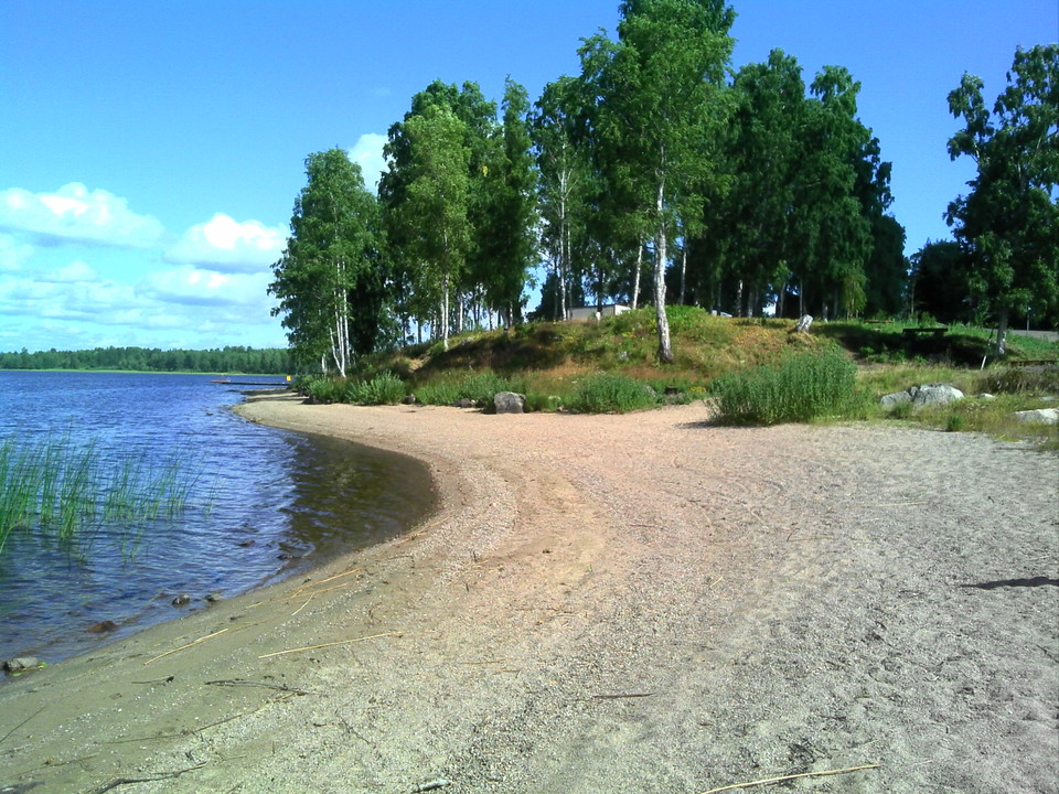
    Lilla Sjöbacken
  • Prästfäbodarna Väst
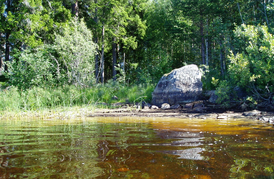
    Prästfäbodarna Väst
  • Backmansholmen
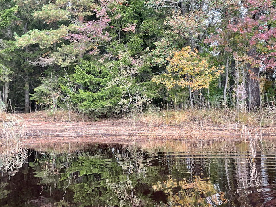
    Backmansholmen
    Photo: Kent Bogren, 2021
  • Komyra
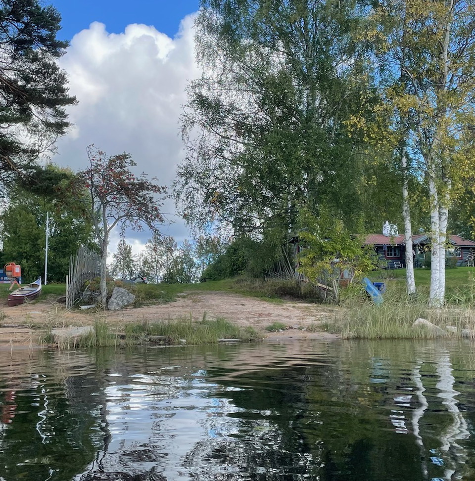
    Komyra
    Photo: Kent Bogren, 2021

Sjöbacken-Konstdalsströmmen, Testeboån

  • Paddling
of 5 stars

Trail details

  • Length 12.9 km

Actions

  • Directions

Description

From cultural landscape to wilderness. Ycklaren has shallow sandy beaches.

Note that the water level of the Testeboån river varies a lot, especially around Ockelbo. This means that photos and descriptions of the resting places do not always correspond exactly to reality.

This section ends north of the rapids in Konstdalsströmmen. To continue south towards Smörnäs, you either paddle through the rapids or take off from SMHI's measuring station to Konstdalsströmmen.

Paddling through the rapids in Konstdalsströmmen Konstdalsströmmen consists of two rapids with calm water in between (under the bridge). The northern rapids are relatively easy. The southern rapids divide into two channels. Choose the eastern channel, and if you are coming from the north, stay fairly close to the shore for the best water flow. The western channel is not navigable.

Lift past the rapids in Konstdalsströmmen From SMHI's measuring station, a narrow path leads about 200 m south to the bridge. Then the path continues another 200 m along the river to the rest area Konstdalsströmmen. The last bit can be difficult to walk due to large stones.

Weather forecast (at 12:00)

Loading…

Get here by public transport

Powered by Google

Activities And Facilities

  • Paddling

Contact

Email address

Föreningen Naturkraft Gästrikland

Please be aware that some of these texts have been automatically translated.

I’ve been here 3
I want to go here

Reviews

—

0 reviews

of 5 stars

5 :
0.0%
4 :
0.0%
3 :
0.0%
2 :
0.0%
1 :
0.0%

Questions & Answers

Ask a question to other Naturkartan users.

Users images

Share your photos of the place!

Naturkartan

Open this in the app