
-
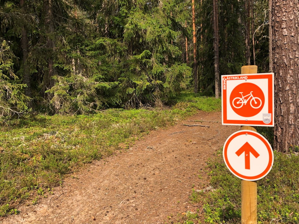
Photo: Lars Fredriksson
Brattfors - Jädraås, Biking Gästrikland
- Mountainbiking
- County: Gävleborgs län
Trail details
- Length 13.5 km
- Difficulty Blue - medium
Actions
Currently
Leden är påverkad stormen Johannes och kan vara svårframkomlig tills dess att träd som fallit över leden tagits bort av fastighetsägarna. Var alltid försiktig i närheten av vindfällen och lutande träd.
Visa stor försiktighet, undvik svårframkomliga partier och vänd om förhållandena känns osäkra.
Description
Between Brattfors and Jädraås, the trail runs along the old embankment of DONJ (Dala-Ockelbo-Norrsundets Järnväg) and along Kyrkvägen (which in its original route went from Gammelboning to Ockelbo). The trail is easy to cycle and consists of a combination of narrow roads and paths.
From Brattfors you can continue 4 kilometers along the embankment into Ockelbo, when you leave the embankment it is about 2 kilometers along the paved cycle path to Ockelbo center. Just when the embankment ends and the cycle path towards Ockelbo center begins, Mackgrillen / OKQ8 is located and along the way to Ockelbo, Wij valsverk and Wij Trädgårdar are passed. In the center there are restaurants, café, grocery store, pharmacy etc. In Jädraås there is also a gas station / kiosk with some food assortment.
Activities And Facilities
- Mountainbiking
Downloads
Contact
Email address
Föreningen Naturkraft Gästrikland
Organization logotype
Please be aware that some of these texts have been automatically translated.
I’ve been here
I want to go here 1

Questions & Answers
Ask a question to other Naturkartan users.
Reviews
0 reviews
- 5 :
- 4 :
- 3 :
- 2 :
- 1 :
Users images
No user images yet. Be the first to share!
