Södermanlands län

Kayak point

Map

18 Kayak point

Paddling

Kanotlyft Vrena-Nyköping

  • Municipality: Nyköping
  • 6811.07 km away from you

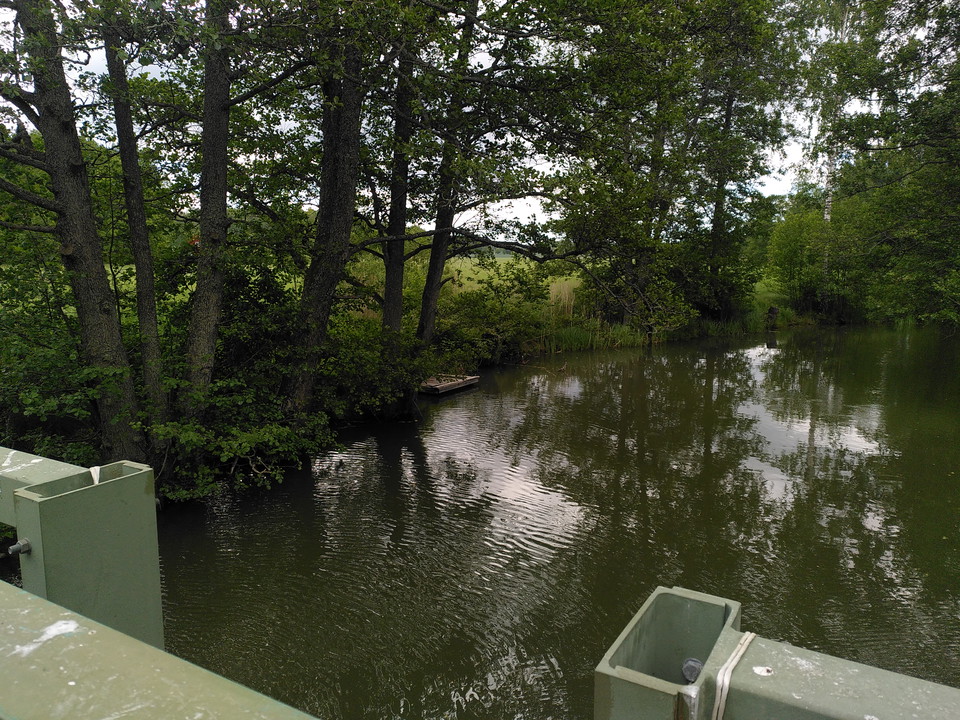
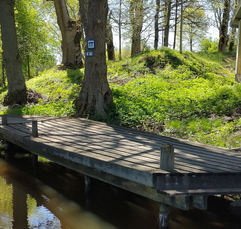
Canoe lift at Kristineholm. 50 m to the lift. Prepared path. Follow the east side of the river downstream due to strong current and rocks in the western part. The road is not open to public traffic.
Kayak point

Kanotlyft Vrena vid Munter

  • Municipality: Nyköping
  • 6796.62 km away from you

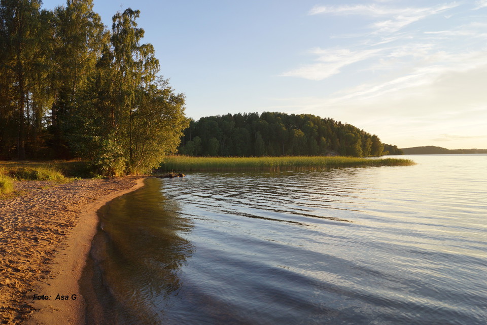
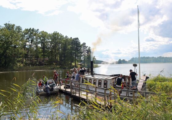
The bathing beach near the pier of the steamer Munter. For further paddling in Långhalsen towards Nyköping or towards Skebokvarn/Sparreholm carry/roll the canoe to the landing place at the bridge towards Tärnö. Paddling directly through Vrenaån towards Lång…

Kayak point

Kanotlyft Vrena norra

  • Municipality: Nyköping
  • 6796.86 km away from you

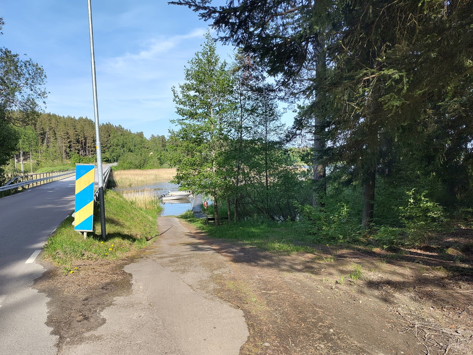
Jetty next to the bridge to Tärnö.

Paddling

Kanotlyft söder om Sibrobadet

  • Municipality: Nyköping
  • 6801.32 km away from you

Canoe lift at the northern end of Lidsjön, about 1 km south of Sibrobadet

Kayak point

Kanotlyft vid Vad

  • Municipality: Nyköping
  • 6797.97 km away from you

Canoe lift at Vad, just east of the bridge over Husbyån there is a suitable place on the north bank.

Kayak point

Kanotlyft vid Hopenbadet

  • Municipality: Nyköping
  • 6797.45 km away from you

There are both jetties and a suitable beach at the bathing area. The canoe must be carried/rolled about 900 m to the bridge at Vad.

Kayak point

Kanotlyft-Stendörren

  • Municipality: Nyköping
  • 6837.22 km away from you

Good place for loading a canoe. Close to parking lot where there are toilets and garbage cans.

Kayak Rental

Kajakuthyrning, Harg Nyköping

  • Municipality: Nyköping
  • 6815.56 km away from you

More information at Nyköpingsguiden - Kayak rental, Harg Nyköping (nykopingsguiden.se)

Kayak Rental

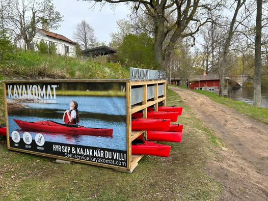
Kayakomat Vrena

  • Municipality: Nyköping
  • 6796.59 km away from you

Rent a kayak

Kayak point

Kanotlyft Vrena södra

  • Municipality: Nyköping
  • 6796.80 km away from you

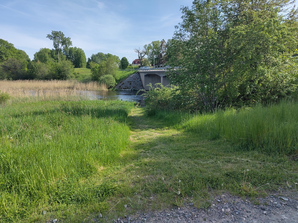
Precis vid bron där väg 52 går över ån. På östra/norra sidan om bron. Därifrån är det ca 1 km landvägen till iläggningsplatsen i Långhalsen (den ligger vid vägen mot Tärnö).

Bathing

Jogersö badplats

  • Municipality: Oxelösund
  • 6825.15 km away from you

Nice sandy beach and lawns. Camping, restaurant and kayak rental are available next to the bath.

Club House

Katrineholms Kanotklubb

  • Municipality: Katrineholm
  • 6766.42 km away from you

In our activities, everyone is welcome regardless of prior knowledge, age, gender identity, language / origin and if you have any disabilities. We work for a good camaraderie where we have fun together, support and encourage each other. Every year, we colla…

Club House

Oxelösunds Kanotklubb

  • Municipality: Oxelösund
  • 6827.17 km away from you

Welcome to Oxelösund Canoe Club. OKK is an open club where you are always welcome based on your conditions. We cherish diversity and the participation of all individuals who contribute to the members' community and joy. Whether you are interested in excursi…

Naturkartan

Open this in the app