
Gö circular walk
- Hiking
- County: Blekinge län
- 6877.39 km away from you
Trail details
- Length 7.2 km
Actions
Description
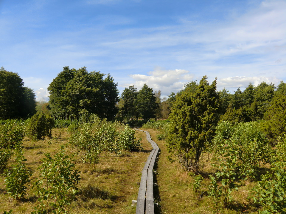
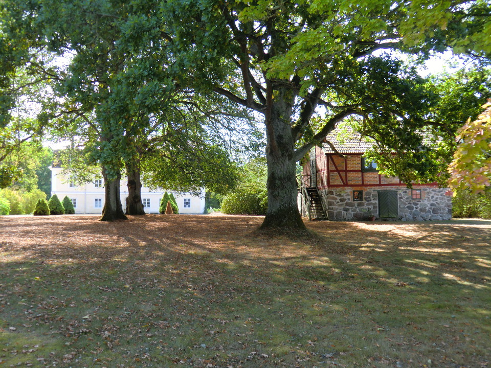
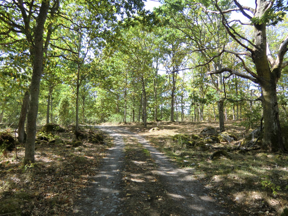
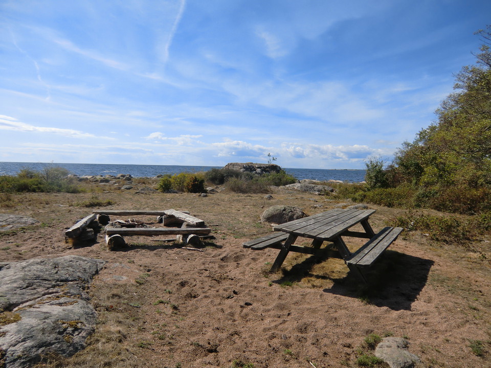
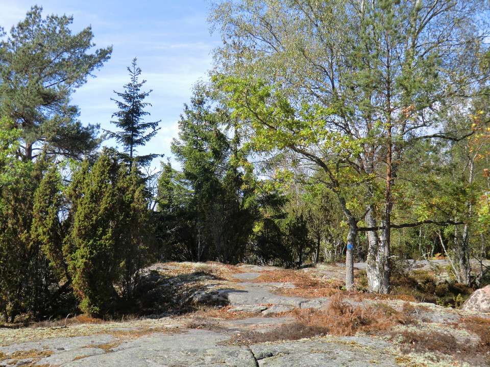
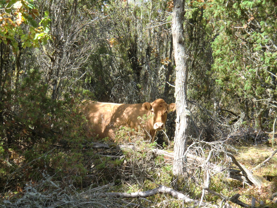
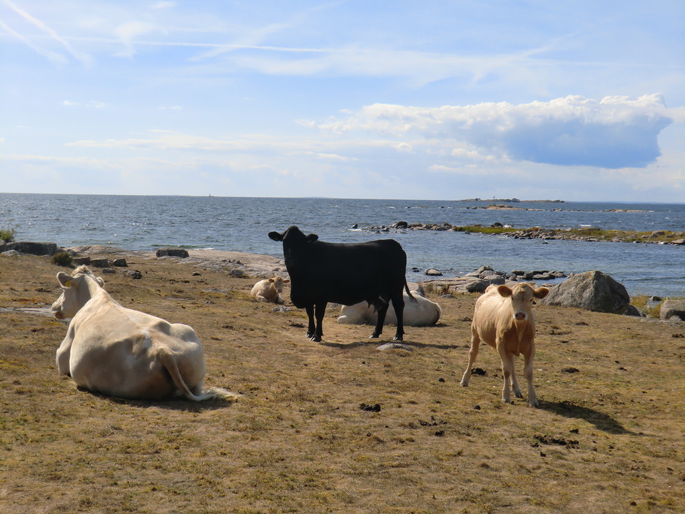
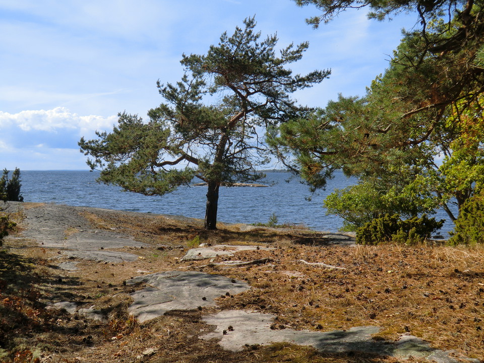
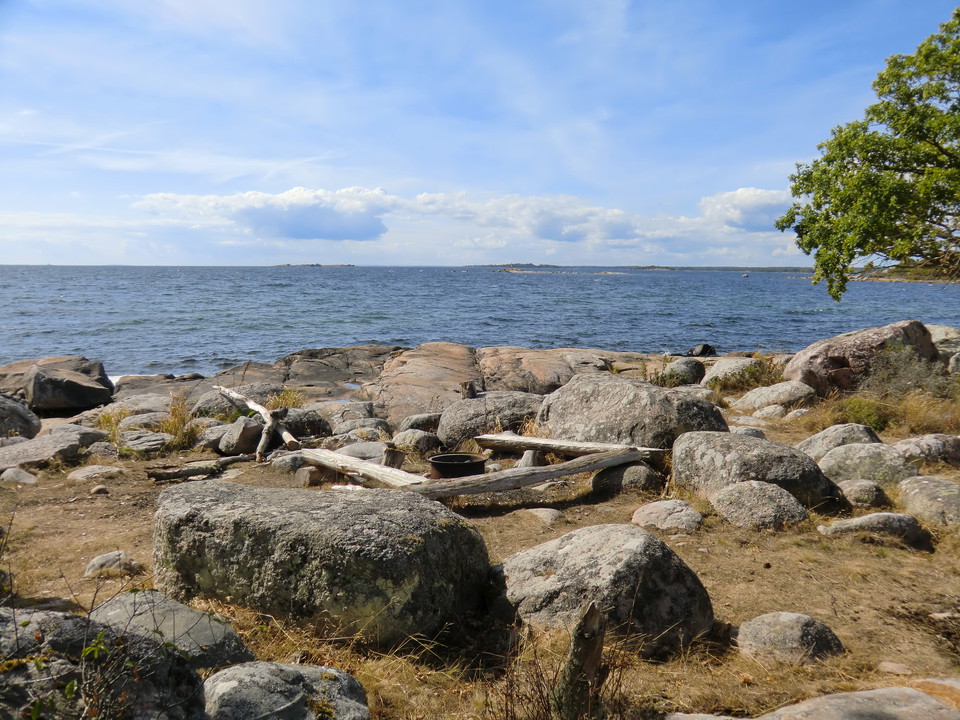
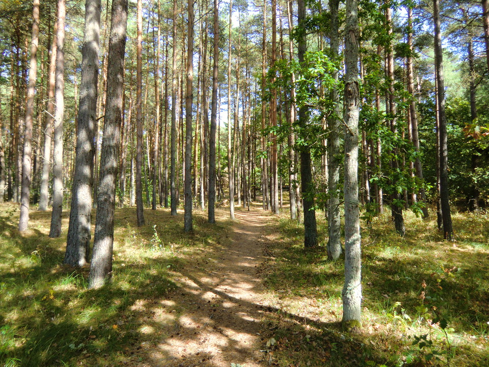
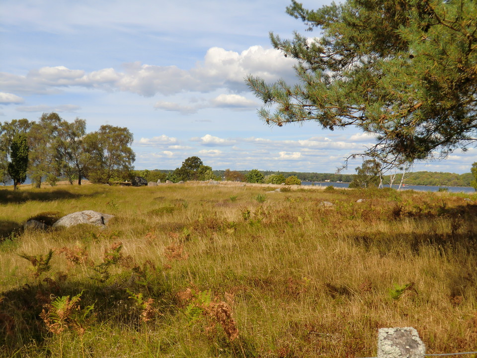
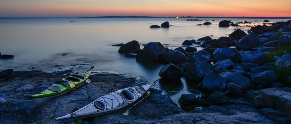
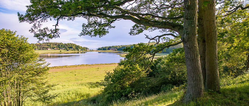
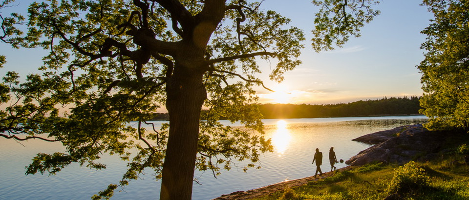
A walk through a beautiful coastal landscape, in the summer accompanied by grazing cows. Wander through broadleaf woodland in the south, along the coast in the west and through pine woods in the north. Picnic and barbecue spots along the route (see map).
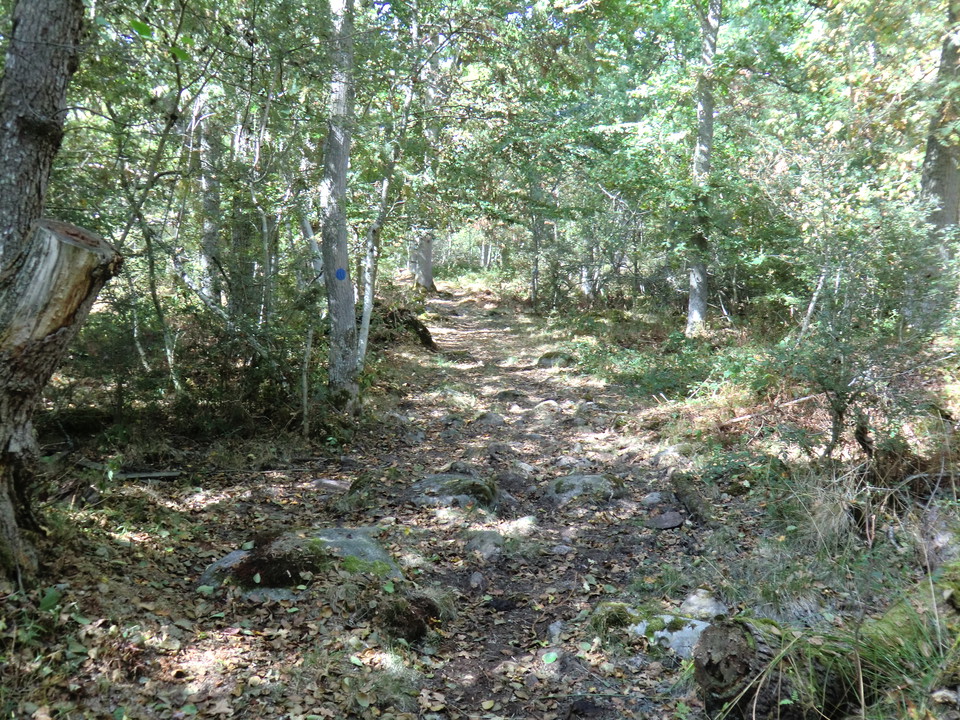
The route is marked in blue on posts and trees all the way, apart from where it follows the road. Follow the orange marks on posts and trees from Gökalv beach to Gravfältet (the north-west part of the trail).
Activities And Facilities
- Hiking
Surface
Southern marked section along forest road. The rest of the marked section path through the forest. South-eastern part along paved road.
Contact
Address
Blekinge Arkipelag Kurpromenaden 4 372 36 Ronneby
Email address
Team ARK56
Organization logotype

Please be aware that some of these texts have been automatically translated.
I’ve been here 46





I want to go here 61


Questions & Answers
Ask a question to other Naturkartan users.
Reviews

Users images
No user images yet. Be the first to share!




underbar runda med nästan all sorts skog. medelsvår på vissa partier. Fint iordninggjord slinga