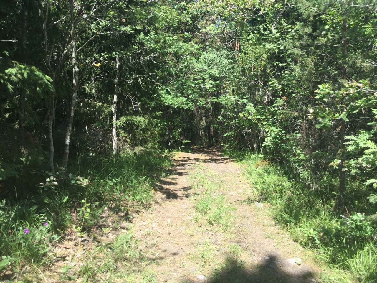
Hiking trail, Prästskaten
Hiking
- County: Stockholms län
- 6877.28 km away from you
Trail details
- Length 0.3 km
Actions
Description
This hiking trail takes you through the Prästskaten nature reserve and out to Hasselviken, with cliffs and a beautiful view of the sea.
Activities And Facilities
-
Hiking
Facts
Protected since : 2019
Size: 6.6 hectares of which 5.8 hectares are land
Character: coniferous forest, mixed forest
Municipality: Norrtälje
Landowner: the state
Administrator: County Administrative Board
Form of protection: nature reserve
Directions
The Prästskaten nature reserve is located about 1 km north of Rotholma, next to Hasselviken, in Norrtälje municipality.
By car: There is no designated parking lot.
** By public transit: ** The nearest bus stop is Ängsgården, just south of Herräng and a 4.5 km walk from Prästskaten. For current bus lines and timetables, see [SL.se] (https://sl.se/en).
Regulations
In order to protect the Prästskaten nature reserve, please respect the following rules.
Within the reserve, it is forbidden to:
- dig, cut, blast or in any other way damage rock, soil or stone,
- fell or damage living or dead trees or bushes,
- damage the vegetation by digging up plants,
- dump garden waste,
- operate motorised vehicles.
Contact
Email address
Länsstyrelsen i Stockholm
Organization logotype

Please be aware that some of these texts have been automatically translated.
Questions & Answers
Ask a question to other Naturkartan users.


