
Vandringsled Stensbergsleden 4,8 km
- Hiking
- County: Stockholms län
- 6838.46 km away from you
Trail details
- Length 4.8 km
Actions
Currently
Vattenfall AB is constructing a new power line. During the work, access to the hiking trails in Flemingsbergsskogen nature reserve may be limited at times. The work is expected to be completed in spring 2026.
Description
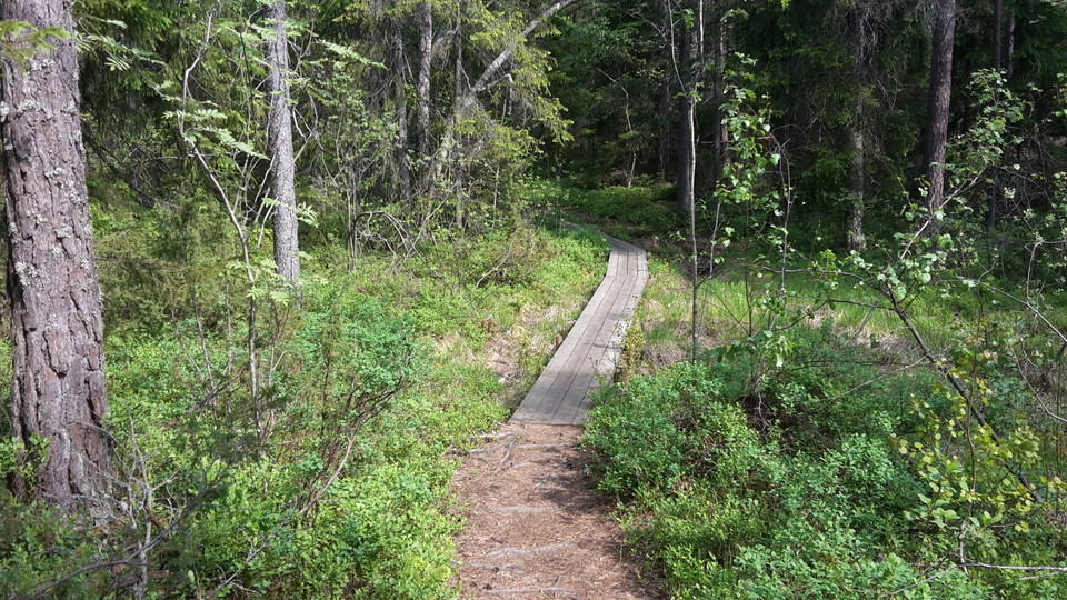
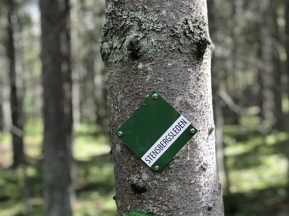
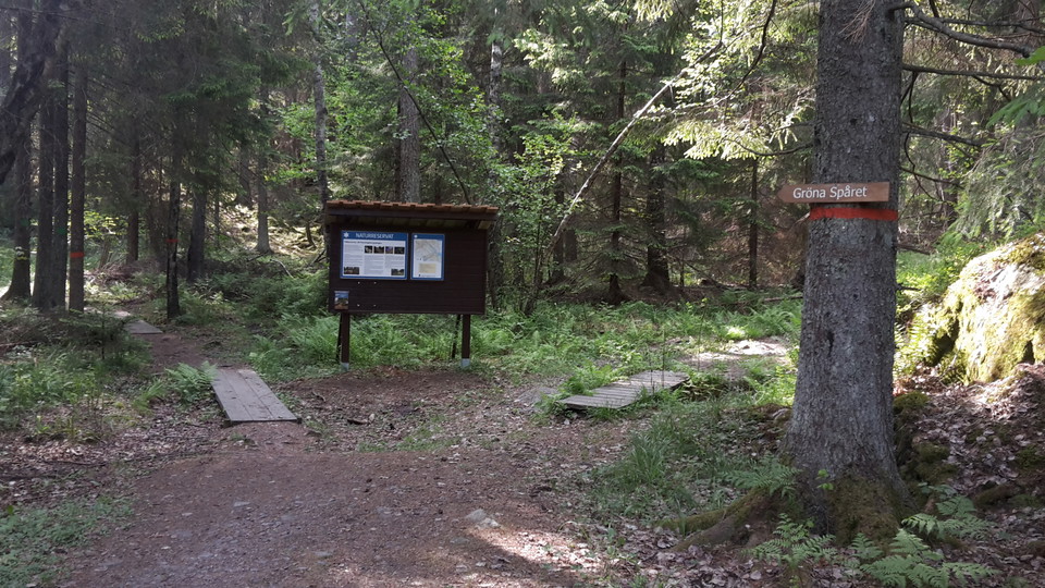
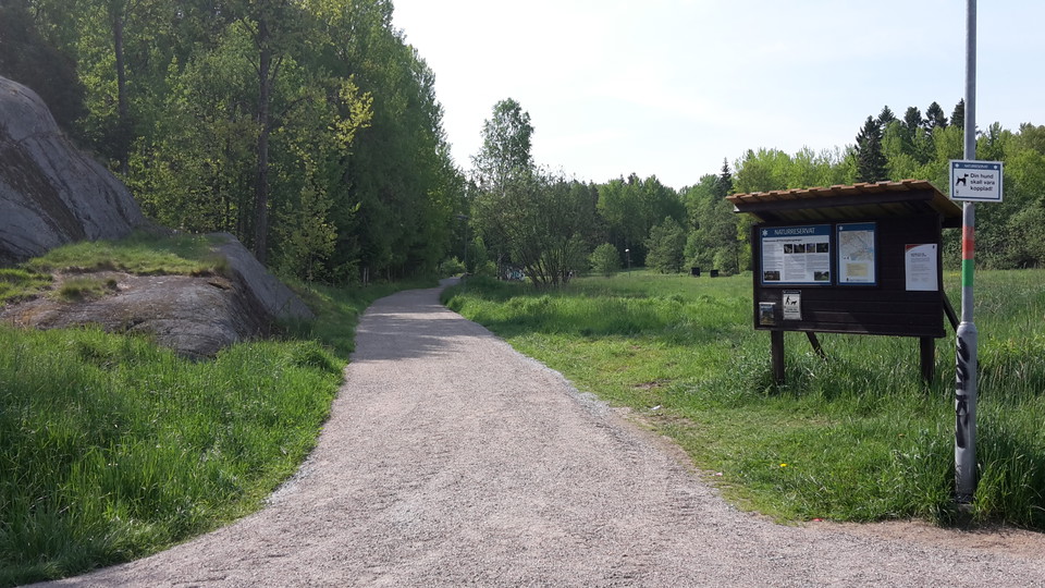
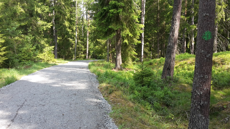
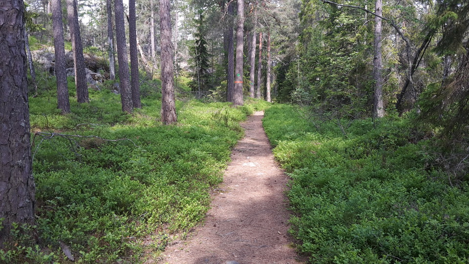
Stensbergsleden runs between Sundby and Visättra and is marked with green diamonds. Stensbergsleden runs both on gravel road and path through rocky pine forest, spruce forest, marshland, and pasture.
Activities And Facilities
- Hiking
Contact
Address
Har du frågor om vår natur och våra naturvårdsområden maila till kommunens servicecenter
Email address
Huddinge kommun Servicecenter
Organization logotype

Please be aware that some of these texts have been automatically translated.
I’ve been here 16





I want to go here 33




Questions & Answers
Ask a question to other Naturkartan users.
Reviews
0 reviews
- 5 :
- 4 :
- 3 :
- 2 :
- 1 :
Users images
No user images yet. Be the first to share!
