


Tingshagenstigen
- Hiking
- Archaeological
- County: Stockholms län
- 6831.87 km away from you
Trail details
- Length 2.4 km
- Difficulty Blue — medium
Actions
Description
Activities And Facilities
- Hiking
- Archaeological
Surface
Partly paved footpath, partly graveled roads and partly forest path.
Hills
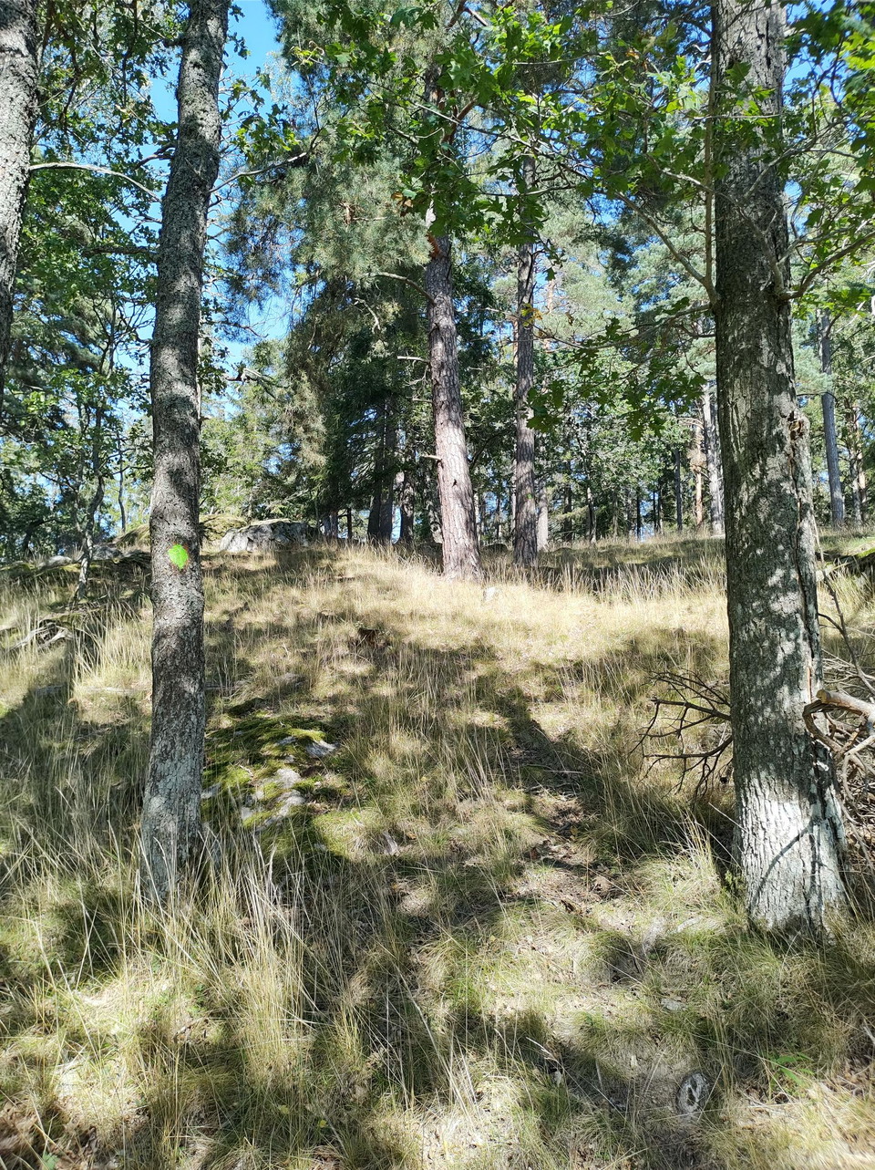
Easy hilly terrain in the forest
Parking
Free visitor parking at Hågelbyparken
Paid visitor parking at Flottsbro
Communications
By car you navigate to either Hågelbyparken if you want to start from there or to Flottsbro and take public transport back as it is a connecting road between the two areas.
If you go by public transport to Hågelbyparken, the Hågelby bus stop is directly adjacent to Hågelbyparken. From there you walk towards the parking lot where there is a large orientation map of all the trails to help you navigate to the Tingshage trail.
If you go by public transport to Flottsbro, take bus 714 from Huddinge. From there you walk past the bath towards Stendalspromenaden and follow it towards Alby along the footpath and turn off at the first signpost up towards the forest at the height of Avstickningsvägen.
Contact
Email address
Jonathan Kearney
Organization logotype

Please be aware that some of these texts have been automatically translated.
I’ve been here 1

I want to go here
Reviews
—
0 reviews
- 5 :
- 4 :
- 3 :
- 2 :
- 1 :
Questions & Answers
Ask a question to other Naturkartan users.
Users images
Share your photos of the place!
