
Röda och gula spåret
- Hiking
- Guide: Värmdö kommun
- 6851.29 km away from you
Trail details
- Length 5.1 km
Actions
Description
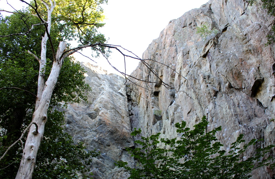
In Gustavsberg's northern forests, between northern Lugnet and Skevik's farm on Ormingelandet, there are two trails that are connected so that the total length can be 4 km. The trail is easy to walk and there is a rest area at Skevik's cave. The yellow trail is 2.5 km and the red 1.5 km. They partly follow the same route as Värmdöleden.
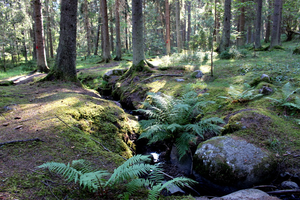
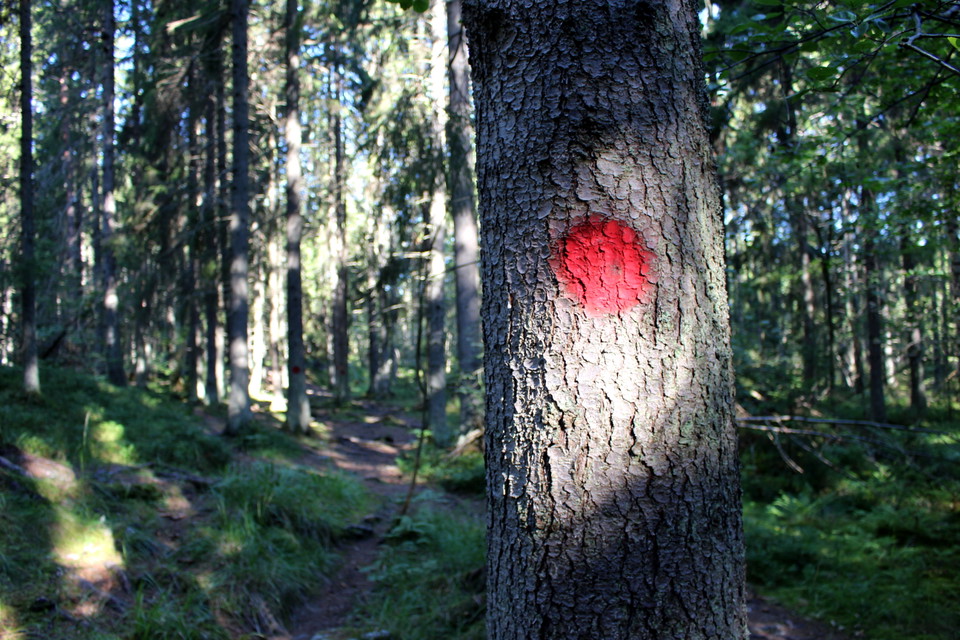
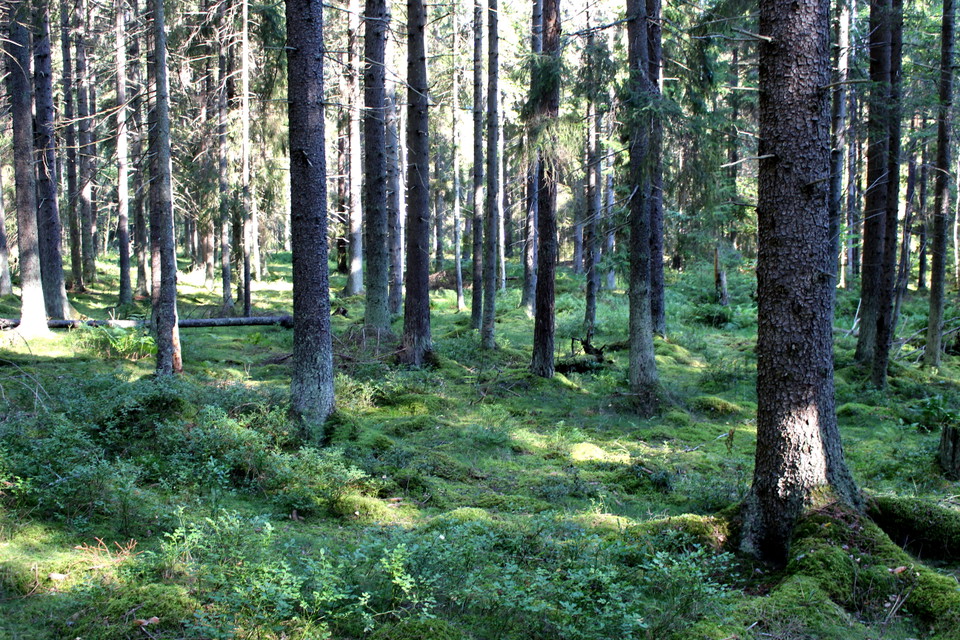
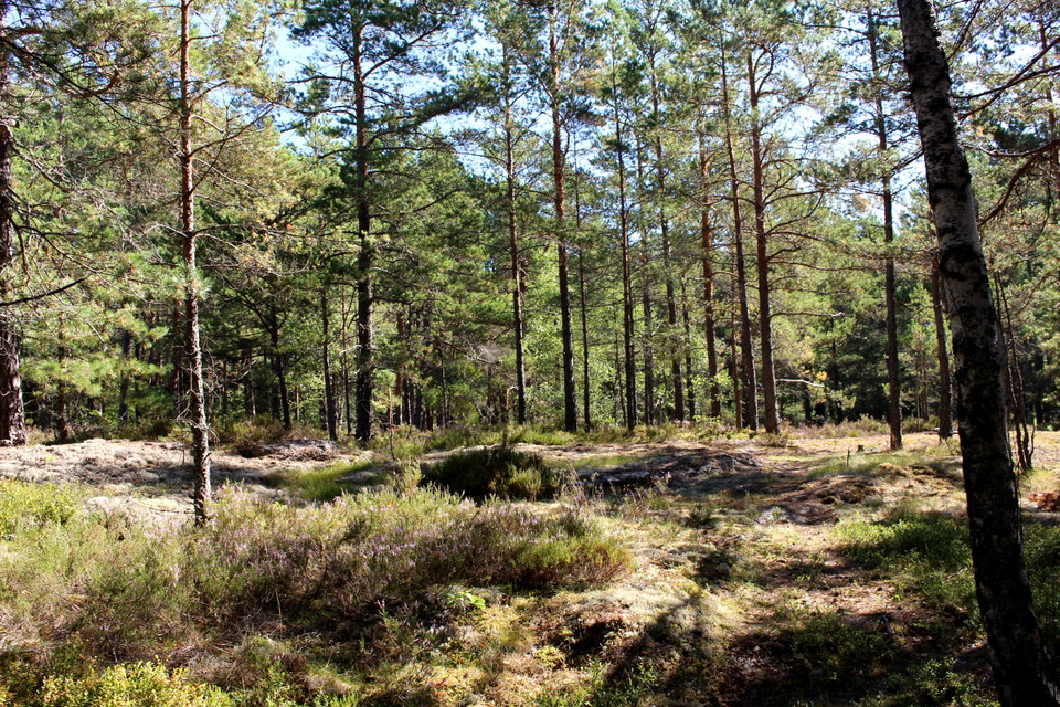
The trails are well-trodden nature trails marked with yellow or red markings on trees. These are mainly paths in woodland, but the habitats vary from magical spruce forests to pine-forested rocky terrain. A small nature reserve with centuries-old pines is located where the trails start at Björnskogsvägen, next to the Jungmannen residential area.
Activities And Facilities
- Hiking
Directions
The tracks start at Björnskogsvägen or Fiskljusevägen, but can also be reached from Skevik. Parking is available at the turnaround at Fiskljusevägen. The nearest bus stop is "Gustavsbergs Lugnet".
Contact
Email address
Kontakta Kultur & Fritid på Värmdö kommun om du har frågor!
Please be aware that some of these texts have been automatically translated.
I’ve been here 4


I want to go here 20

Questions & Answers
Ask a question to other Naturkartan users.
Reviews
0 reviews
- 5 :
- 4 :
- 3 :
- 2 :
- 1 :
Users images
No user images yet. Be the first to share!
