
-
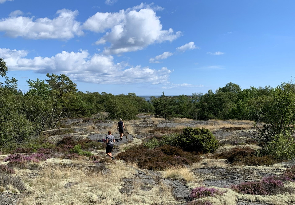
Photo: Länsstyrelsen Stockholm -
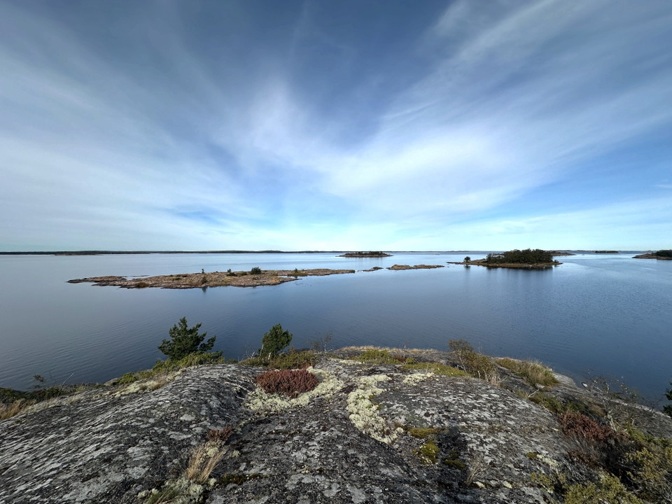
Photo: Länsstyrelsen Stockholm -
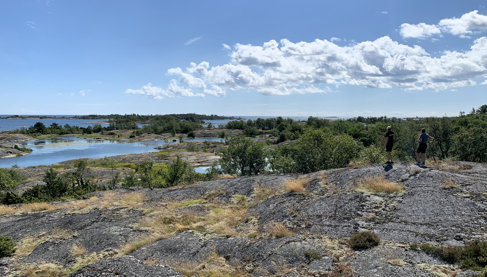
Photo: Länsstyrelsen Stockholm -
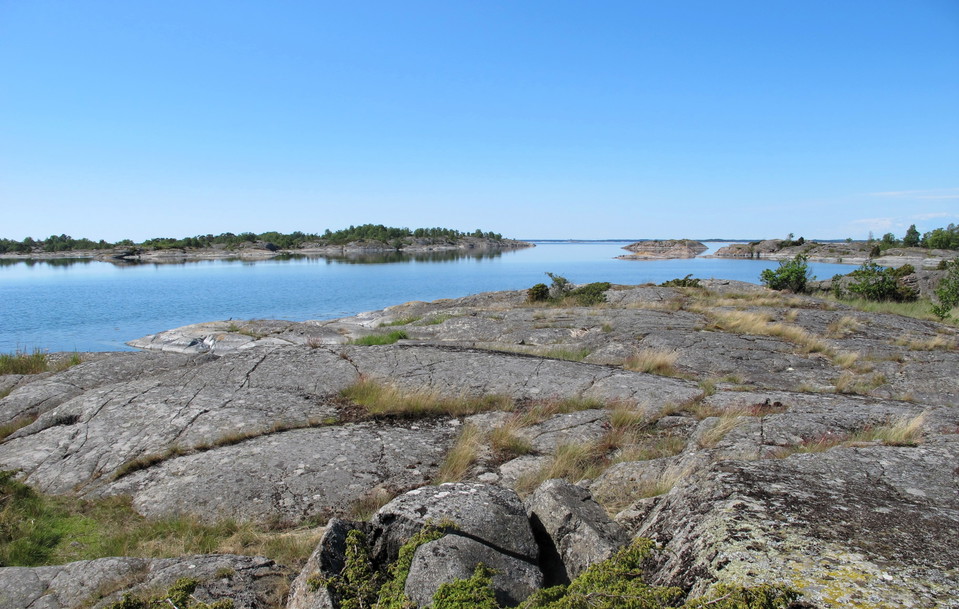
Photo: Länsstyrelsen Stockholm -
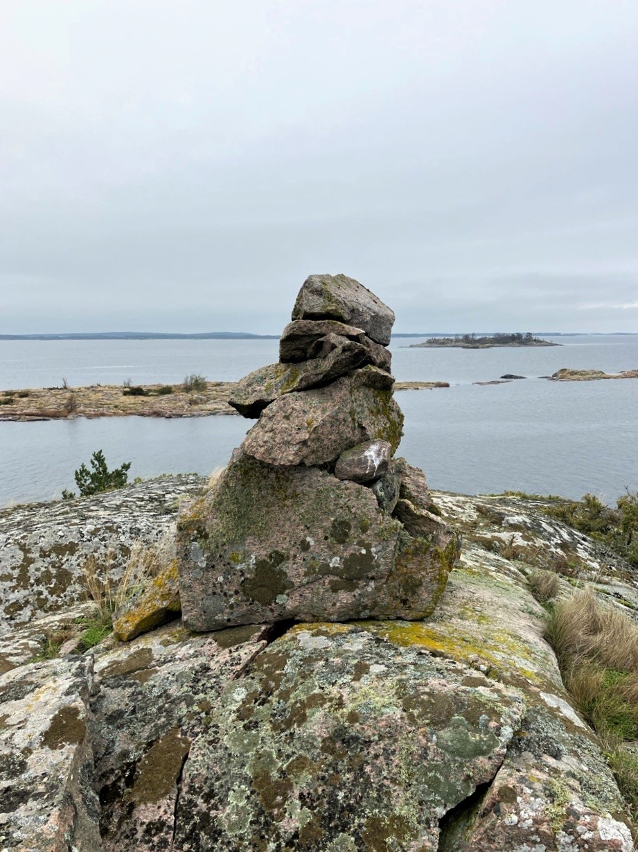
Photo: Länsstyrelsen Stockholm
Långviksskär loop trail
- Hiking
- Circular trail
- County: Stockholms län
- 6882.58 km away from you
Trail details
- Length 3.2 km
Actions
Description
Activities And Facilities
- Hiking
- Circular trail
Facts
Nämdöskärgårdens National Park
Protected since: 2025
Size: 25,300 hectares. 97% of the area is water.
Character: archipelago, marine environments, cultural environments
Municipality: Värmdö
Landowner: The state through the Swedish Environmental Protection Agency
Manager: County Administrative Board in Stockholm County
Type of protection: National park
Other: The national park is of national interest for several different areas - outdoor life, nature conservation, cultural heritage, communications, energy production and total defense. Parts of the national park are included in the European Union's network of nature conservation areas, Natura 2000, and on the island of Rågskär there is a croft that is a state building monument.
Långviksskär Nature Reserve
Protected since: 1983. New boundaries in 2025.
Size: 9.6 hectares of which land 8.1 hectares.
Character: archipelago, cultural environment, meadows.
Municipality: Värmdö municipality.
Landowner: Private and the Swedish Environmental Protection Agency.
Trustee: County Administrative Board of Stockholm
Form of protection: Nature reserve.
Other: Natura 2000 area Bullerö-Bytta SE0110088.
Directions
Långviksskär can be reached by private boat or taxi boat. There are no regular services to Långviksskär.
Regulations
The hiking trail runs through both Långviksskär Nature Reserve and Nämdöskärgårdens National Park. The rules may therefore differ slightly, depending on exactly where you are. Here you can read what applies:
Regulations for Nämdöskärgårdens National Park on the County Administrative Board's website.
Regulations Långviksskärs nature reserve on the County Administrative Board's website.
Contact
Email address
Länsstyrelsen i Stockholm
Organization logotype
Please be aware that some of these texts have been automatically translated.
I’ve been here
I want to go here
Questions & Answers
Ask a question to other Naturkartan users.
Reviews
0 reviews
- 5 :
- 4 :
- 3 :
- 2 :
- 1 :
Users images
No user images yet. Be the first to share!
